
Directions
The cabin is located approximately 20 air miles from Ketchikan, at the North end of Thorne Arm. Accessible by float plane or boat. A saltwater mooring buoy is available on a first-come, first-served basis. Refer to USGS topographic map for Ketchikan B-4, and check local tide tables if navigating a boat or kayak in saltwater.
Phone
907-225-2148
Activities
BOATING, CAMPING, FISHING, HIKING, WILDLIFE VIEWING
Keywords
FIEE,TONGASS NF – FS
Related Link(s)
Overview
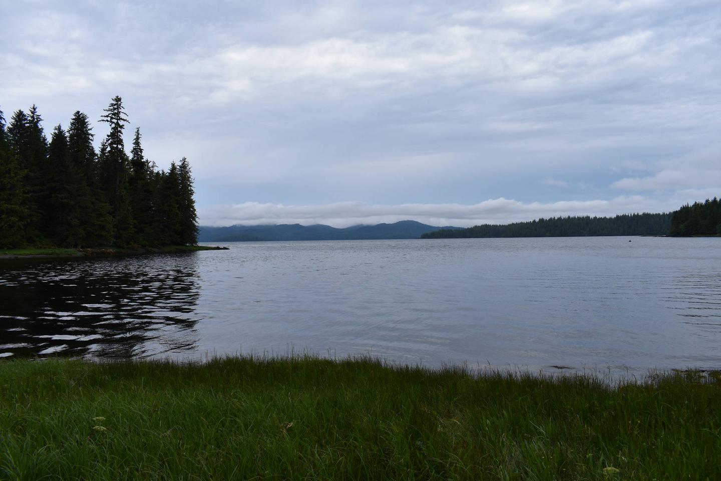
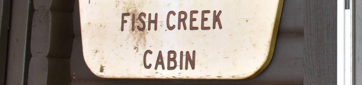
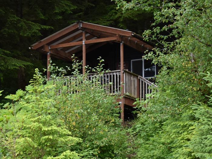
Fish Creek Cabin is located on Revillagigedo Island, at the confluence of freshwater Fish Creek and saltwater Thorne Arm. The rustic, secluded retreat is available year-round for relaxation, sightseeing and recreation.
The site can be accessed by float plane, boat or kayak, depending on conditions. Guests are responsible for their own travel arrangements and safety, and must bring several of their own amenities.
Recreation
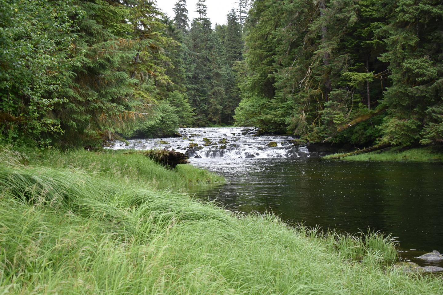
Crabbing is possible for Dungeness crab, and saltwater fishing is available for salmon, halibut and rockfish. Fish Creek offers opportunities for freshwater fishing for cutthroat and rainbow trout, steelhead and Dolly Varden.
Hikers can access two trails from the cabin. The Low Lake Trail leads to Big Lake in Misty Fiords National Monument wilderness, following along Low Lake and Fish Creek on the way. Gokachin Lake Trail starts across the outlet of Fish Creek and leads to Star Lake.
Sea kayaking is an extremely popular way of getting around, but guests must provide their own equipment and consult local tide tables before setting out.
Facilities
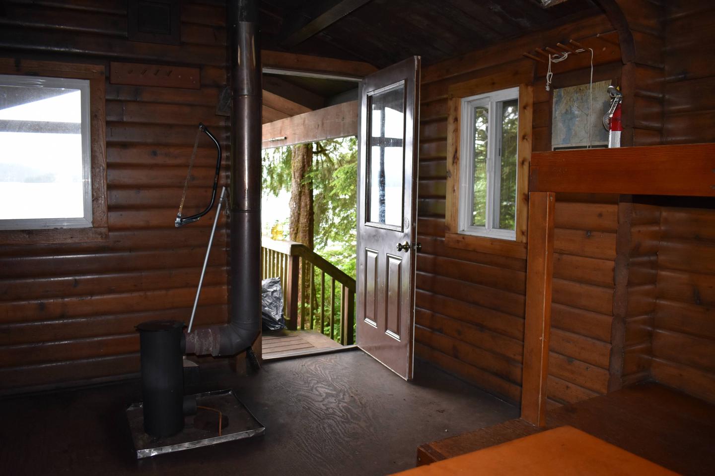
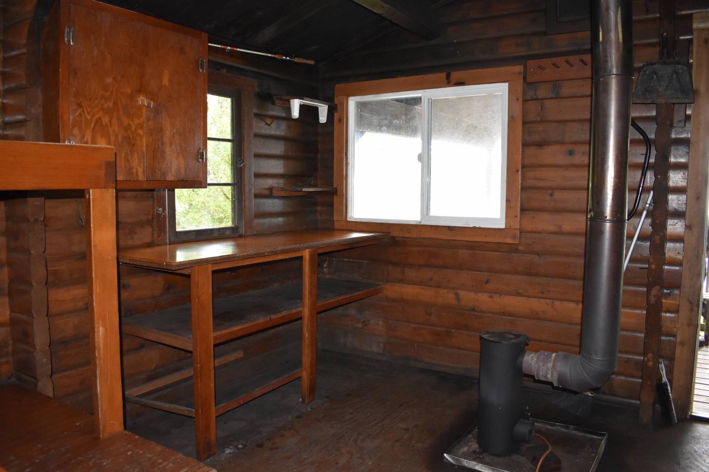
This 12-by-14 cabin (pan-abode style) has two single and two double bunks, to accommodate up to six people. It is also equipped with a table and benches, broom, an oil heater and an outhouse. A mooring float is available, but it is not for the exclusive use of cabin guests.
Water, heating oil and electricity are not provided. Guests must bring No.1 diesel oil or kerosene for the oil heater (five gallons will last about a week). Water is available from the creek, but guests should be sure to treat water before drinking or cooking with it (water safety tips). It is recommended that guests bring their own water supply.
Other items to pack include sleeping bags, sleeping pads, lanterns or flashlights, cookware, plates, utensils, food, toilet paper, garbage bags, a fire extinguisher and matches, among other necessities. Guests are expected to pack out trash and clean the cabin before leaving (click here for more cabin details).
Natural Features
The cabin is tucked into a densely wooded area overlooking Thorne Arm. Fish Creek bubbles into Thorne Arm on the left side of the cabin. A gravel beach is revealed at the front of the cabin during low tides.
Sitka black-tailed deer, black bear, beaver, marten, and mink are common to the area (bear safety information). Seals and orcas have been seen in Thorne Arm.