Directions
The cabin is approximately 20 air miles southeast of Ketchikan on Revillagigedo Island. Accessible by floatplane, kayak or boat with mooring buoy. Navigation is challenging due to tides, merging currents and open ocean waters. Please check tide tables in advance. Refer to USGS Ketchikan A-4.
Phone
907-225-2148
Activities
CAMPING, FISHING, HIKING, HUNTING, WILDLIFE VIEWING
Keywords
ALAY,TONGASS NF – FS
Related Link(s)
Overview
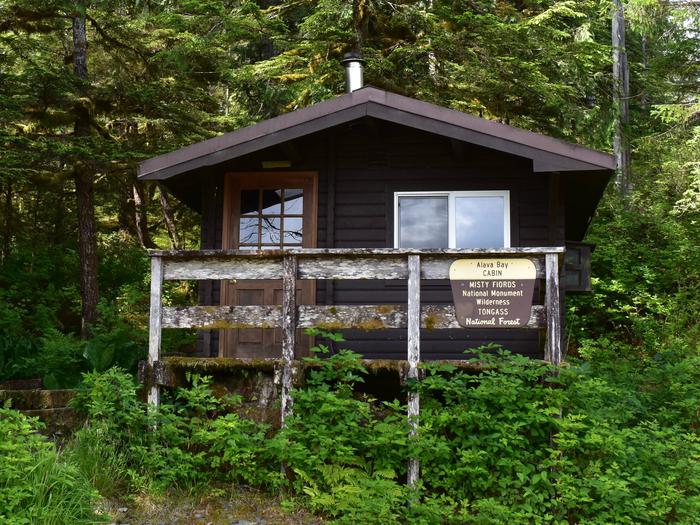
Alava Bay Cabin was built in 1974 and sits on Revillagigedo Island on the southwest side of Alava Bay. This secluded retreat is open year-round and offers opportunities for relaxation, sightseeing and a variety of recreational activities within the Misty Fjords National Monument Wilderness. The site can be accessed by floatplane, boat or kayak, depending on conditions. Visitors are responsible for their own travel arrangements and safety, and must bring several of their own amenities.
Recreation
The bay and surrounding area can be explored by kayak, but visitors must bring their own equipment. Navigating the waters here poses a challenge due to tides, merging currents and exposure to open ocean waters ( local tide charts ). Opportunities exist for saltwater fishing, hiking and beachcombing. Hunting for Sitka black-tailed deer and black bear is a popular pastime.
Facilities
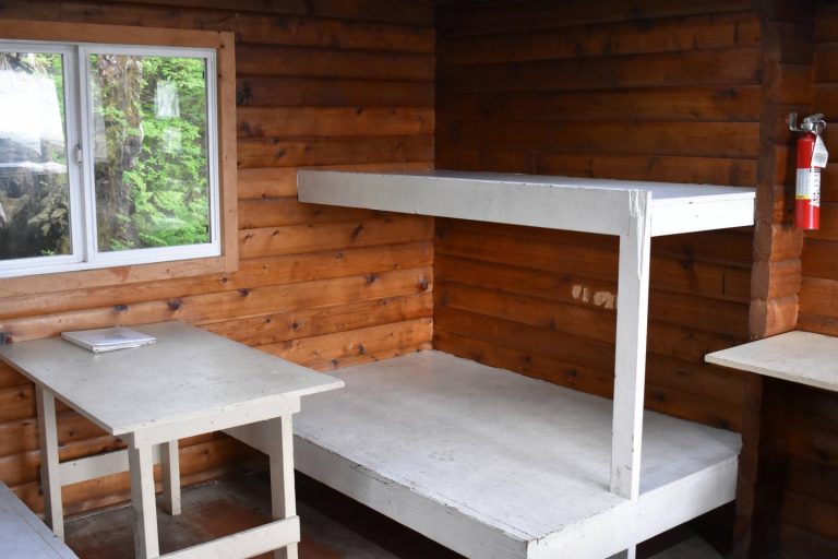
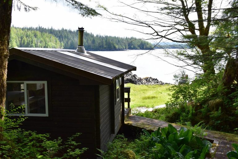
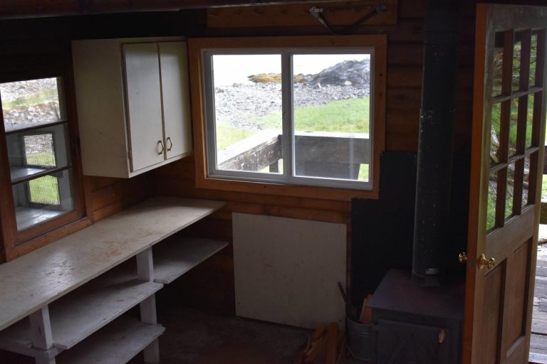
This 12×14-ft. pan-abode style cabin sleeps six and comes equipped with two single bunks, two double bunks, a table and benches, broom, wood heater and an outhouse. The cabin has a front deck and receives plenty of sunshine on clear mornings. A mooring float is available, but it is not for the exclusive use of cabin visitors. Water and electricity are not provided. Firewood may be available, but visitors are encouraged to contact the Ketchikan-Misty Fjords Ranger District to check the status of the woodshed. Water is available from a nearby creek, but must be treated before being used. It is recommended that visitors bring their own water supply. Other items to pack include sleeping bags, sleeping pads, food, cookware, plates, utensils, lanterns or flashlights, toilet paper, garbage bags, a fire extinguisher, axe, and fire starter. Visitors are expected to pack out trash and clean the cabin before leaving. Click here for more cabin details.
Natural Features
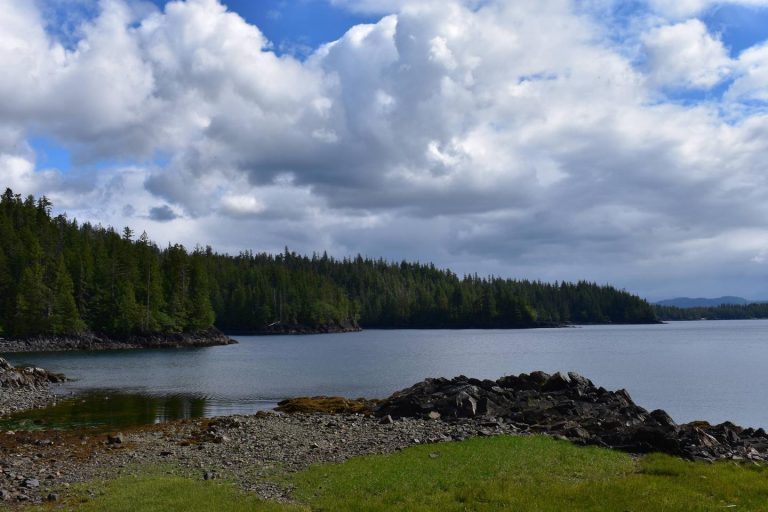
The cabin is backed by old-growth rainforest with a rocky beach nearby. The surrounding landscape features gentle slopes and dense forest. Visitors can look out over Alava Bay from the front deck of the cabin. A small island is nearby, situated between the bay and Behm Canal. This is often a stop for those exploring Misty Fjords, an area known for its unusual rock formations, steep fjord walls and quiet inlets. Black and brown bears, wolves, moose, bald eagles and Sitka black-tailed deer are common to this area. Misty Fjords is home to a variety of marine mammals, including orcas, humpback whales, harbor seals and sea lions.

