Directions
Accessible year round by floatplane or boat, weather permitting. Located 30 miles north of Sitka within Schulze Cove, on the north side of Fish Bay, the northwest coast of Baranof Island. From Sitka, boat access is 90 minutes, air access is 20 minutes. For geographic features surrounding the cabin, refer to USGS topographic map Sitka B-5.
Please consult local tide tables before departing for the cabin.
Phone
907-747-6671
Activities
CAMPING, FISHING, HUNTING
Keywords
PIPE,TONGASS NF – FS
Related Link(s)
Overview
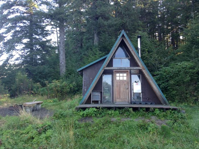
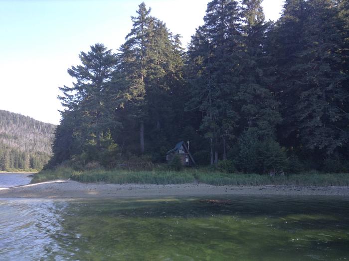
Piper Island Cabin is located on a small island within Fish Bay, 30 miles north of Sitka, Alaska on Baranof Island. The modified A-frame cabin is available year-round, weather permitting, and was built in 1994 by volunteers from the U.S. Coast Guard Air Station and a group of local Sitka volunteers.
This is a remote site. The cabin can be accessed only by boat or floatplane. From Sitka, it’s a 1.5 hour boat ride or a 20-minute plane ride. Visitors are responsible for their own travel arrangements and safety, and must bring their own amenities.
Recreation
Recreational opportunities include beachcombing along the sandy beach, wildlife viewing, saltwater fishing, crabbing and seasonal deer hunting.
For information about fishing and hunting permits and seasons, visit the Alaska Department of Fish and Game website.
Facilities
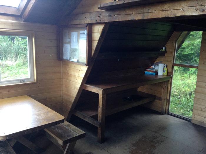
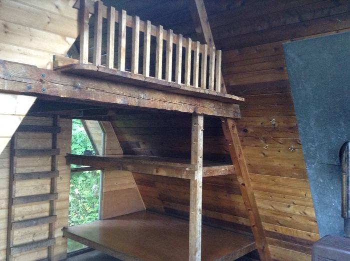
The 16 by 16-ft wood, modified A-frame cabin can accommodate up to seven people. An open sleeping loft, reached by vertical ladder, offers no bunks but overlooks the dining area below. The main level of the cabin contains one double plywood bunk and one single plywood bunk. An oil stove for heat, a table with benches, a cooking counter, broom and an outhouse toilet are provided. A large skylight offers natural light over the dining area. The cabin does not include heating oil, mattresses or cooking utensils. Visitors should bring #1 diesel fuel (generally 10 gallons for a three-day stay, more or less depending on the time of year), sleeping bags and pads, a cooking stove, pots, pans, plates, utensils, food, toilet paper, a lantern, garbage bags, fire extinguisher and fire starter. Rain gear and boots are recommended. No reliable water source is available on Piper Island. The closest water source is from a stream on Baranof Island, about a half-mile from the cabin by boat. Treat all water before using. Visitors should bring their own supply of water. A mooring buoy is available for boat anchorage on first-come, first-served basis. The cabin reservation does not include exclusive use of the buoy. Mooring buoys are configured using a 4200-lb concrete block with 90 feet of 7/8th-inch stud link chain. Mariners are responsible for determining how suitable an anchoring system is for the size of their craft. Click here for more cabin information and maps.
Natural Features
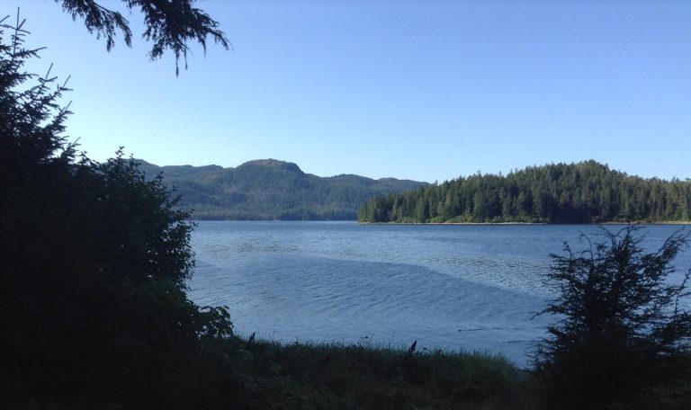
The cabin sits just inside the forest fringe of Piper Island, overlooking a sandy beach within Schulze Cove, located on the north side of Fish Bay. Brown bear frequent the area.

