

Directions
From Watersmeet, MI, take US 2 west approximately 3.5 miles to County Road 535, turn left onto County Road 535 and travel approximately 3.5 miles to the Sylvania Wilderness Recreation Area entrance on left.
Phone
906-396-5428
Activities
BIKING, BOATING, CAMPING, FISHING, HIKING, HUNTING, WILDLIFE VIEWING, SWIMMING SITE
Keywords
Related Link(s)
Michigan State Road Conditions
Overview
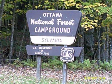
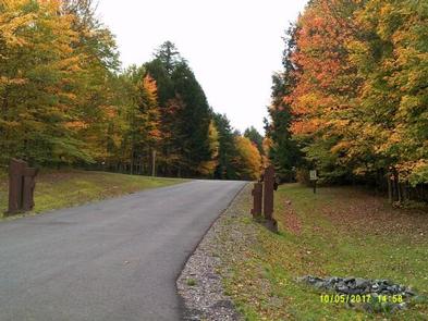
Sylvania (Clark Lake) Campground is located seven miles southwest of Watersmeet, Michigan, adjacent to the 18,327 acre Sylvania Wilderness Area. This 48-site campground provides a home base for visitors who venture into the wilderness on day outings.
Recreation
Sylvania’s abundant lakes provide plentiful non-motorized boating, canoeing, kayaking and fishing opportunities. Other popular activities include hiking and viewing wildlife.
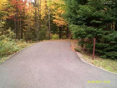
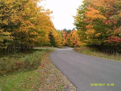
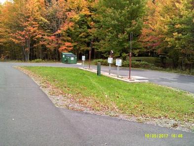
Facilities
This campground consists of four camping loops with a total of 48 campsites and provides drive-in campsites that can accommodate tents, trailers and motor homes. All sites are spaced with natural vegetation for screening. Each campsite offers a wood table, fire ring, lantern post and parking spur. Drinking water is provided by faucets in loops 2, 3, and 4, while two flush toilet facilities and one accessible vault toilet are evenly spaced throughout the campground. Also located adjacent to the campground is a day use facility that has showers, a picnic area, canoe access landings, trailheads and a swimming beach. Located adjacent to the campground is a water and sewage dump station.
Natural Features
The old-growth forests and pristine lakes in the region provide habitat for a wide range of animal and plant life, including rare orchids, bald eagles, loons and osprey. The wilderness contains 34 named lakes, some with sandy beaches and others surrounded by record-size red and white pines.
The Ottawa National Forest is comprised of nearly one million acres and is located in the western reaches of Michigan’s Upper Peninsula. The forest’s rolling, forest covered hills extend from the south shore of Lake Superior to the Wisconsin border. Lakes, rivers and waterfalls are found throughout this beautiful landscape.
Nearby Attractions
Bond Falls located about 20 minutes North East. Porcupine Mountains located about 1 hour North West. Pictured Rocks National Lakeshore located about 2 hours North East. Keweenaw Peninsula is located about 1.5 hours North.