SOUTH PIKE BAY, MN Campground Reservation, Info, Images, Map, Directions

SOUTH PIKE BAY, Minnesota Campground Images, Info & Reservations

Directions

From Cass Lake, Minn., travel 3 miles south on Highway 371. Turn east onto Forest Road 2137 and travel 2 miles to the campground.

Phone

218-547-1044

Activities

BIKING, BOATING, HISTORIC & CULTURAL SITE, CAMPING, FISHING, WATER SPORTS, SWIMMING SITE

Keywords

SPKB,Pike Bay

Related Link(s)

Rec Area Info & Images

Minnesota State Tourism

Minnesota State Road Conditions

Overview

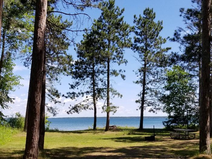
South Pike Bay Campground is located on the south shore of beautiful Pike Bay, on Cass Lake in north central Minnesota. Visitors enjoy the area for its excellent boating, canoeing and fishing opportunities.

Recreation

South Pike Bay offers offers many recreational activities, including boating, canoeing, water skiing and swimming. Anglers fish for walleye, northern pike, perch and trophy muskie. A boat ramp is located within the campground.

A trailhead for the Migizi Bike Trail is on-site. The paved trail stretches 14 miles along the lakeshore and is open to biking, walking and rollerblading.

The campground is a portage point for the 128-mile Chippewa Headwaters Loop Canoe Route. With six portages, the historic waterway is considered the most difficult in the forest, but is a beautiful trip through history.

Facilities

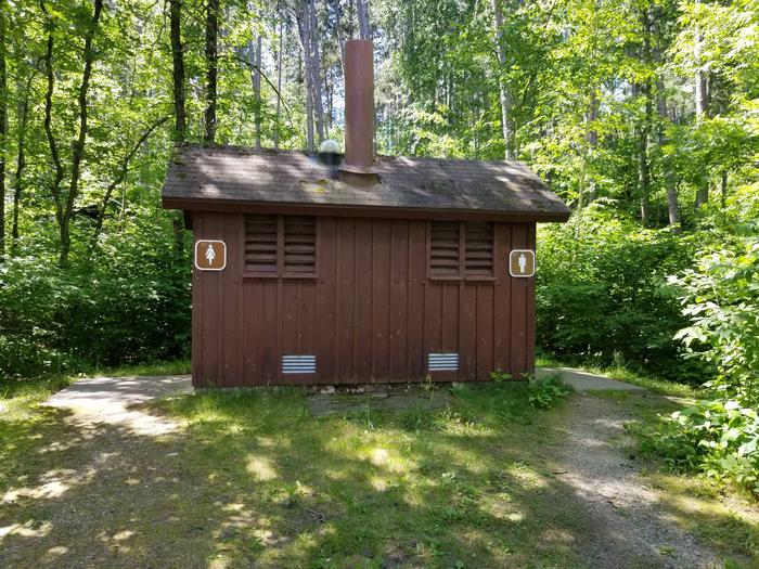
The campground offers 23 non-electric campsites, each equipped with a picnic table and campfire ring. Vault toilets, drinking water and trash collection are provided.

Natural Features

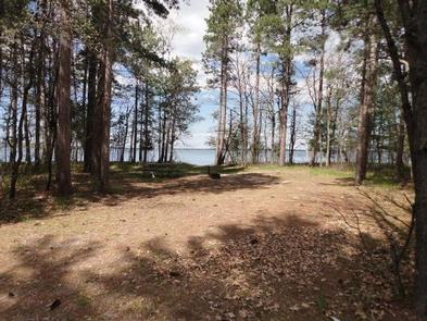
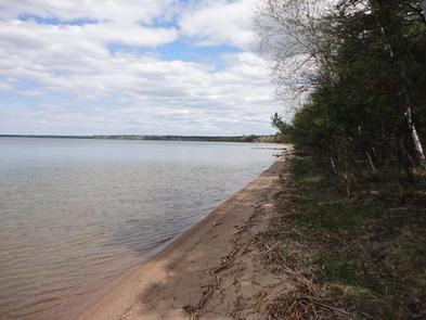
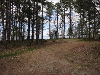
The campground is a long spur stretching along the shore of Pike Bay in a pleasant stand of mixed hardwoods and old growth pine. Some of the campsites are situated on the beautiful sand beach.

Nearby Attractions

The town of Cass Lake, Minn., is six miles northwest of the campground, offering restaurants, a bank, grocery and hardware stores, a movie theater and museum.

Reservation

More from CampingHiking.net:

LITHIA SPRINGS, Illinois Campground Images, Info & Reservations

Directions From Shelbyville, Illinois, go three miles east of Shelbyville on State Route 16 to County Road 2200E. Turn left and go two miles to County Road 1500N. Turn left again and drive 1.4 miles to the campground. Phone 217-774-3951 Activities BOATING, CAMPING, FISHING, VISITOR CENTER, DAY USE AREA, SWIMMING

CANYON POINT, Arizona Campground Images, Info & Reservations

Directions Take Highway 260 east from Payson toward Heber. The campground is located at milepost 287 on State Highway 260 approximately 4.5 miles east of the Rim Visitor Information Station, and 20 miles west of Heber. Phone 928-535-9859 Activities BOATING, CAMPING, FISHING, HIKING, PICNICKING, DAY USE AREA Keywords CANY,APACHE-SITGREAVES NF-FS

TWIN LAKES CABIN (MT), Montana Campground Images, Info & Reservations

Directions From Wisdom, MT, travel south on Highway 278 approximately 6 miles. If coming from Jackson, MT travel north on Highway 278 for approximately 12 miles. Turn west onto the Twin Lakes Road, follow for 8 miles, turn left Forest Road 945 continuing approximately 5 miles to Forest Road 183.

PORCUPINE CABIN, Montana Campground Images, Info & Reservations

Directions From Livingston, Montana, travel north on Highway 89 to Wilsall. Just north of Wilsall, turn northeast onto Shields River Road. Continue 8 miles to Porcupine Road, turn east (right) and then drive another 8 miles to the cabin. Four-wheel drive vehicles are recommended due to the road condition. During