Directions
From the junction of Montana Highways 200 and 83 (locally referred to as Clearwater Junction), travel north on Highway 83 for approximately 15 miles to the town of Seeley Lake. Continue north on Highway 83 for about 9 miles. The campground entrance is on the west side of the highway.
Phone
406-677-2233
Activities
BIKING, BOATING, CAMPING, FISHING, HIKING, HUNTING, WATER SPORTS, WILDLIFE VIEWING, KAYAKING, CANOEING, BERRY PICKING, BIRDING, JET SKIING
Keywords
Lake Inez,Lake Inez Point,LAKE INEZ POINT 6 (GROUP CAMP SITE) (MT)
Related Link(s)
Overview
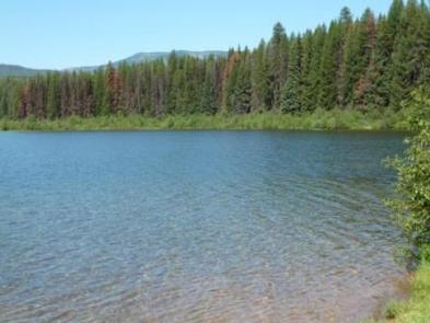
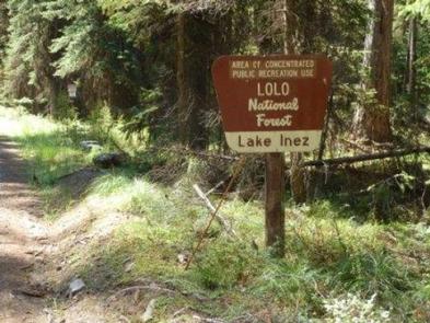
The Lake Inez Campground Group Site is in a beautiful part of the Lake Seeley Ranger District of Montana’s Lolo National Forest. Located next to a beautiful mountain lake, the campsite is a popular place for visitors to enjoy a variety of water-related recreation opportunities.
Recreation
Lake Inez is a popular spot for boating, jet skiing and fishing; however, the available boat ramp is primitive and not paved. Non-motorized boating and swimming are also available and usually done away from high traffic watercraft use. Anglers can expect to see a variety of fish, from salmon to suckers, to pike, trout and perch. The campground is a short distance from the Clearwater River Canoe Trail, which offers prime birding and wildlife viewing opportunities in a scenic setting. The water trail is popular with canoeists and kayakers as it stretches 3.5 miles, or a couple of hours, down the river.
Facilities
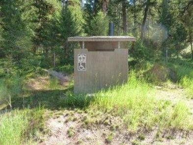
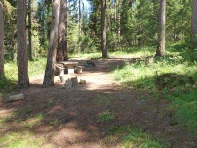
The group site is the only campsite available for reservations at the campground. Individual sites are available on a first-come, first-served basis. The site is equipped with tables and campfire rings with grills. Accessible vault toilets are provided, however drinking water and trash collection are not provided.
Natural Features
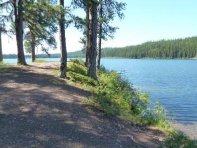
The small campground sits along the eastern shore of 314-acre Lake Inez. A dense conifer forest limits the visibility of the lake, but affords privacy between campsites. Plentiful shrubs and undergrowth give the 4,100-foot elevation campground beautiful colors during the fall.
Nearby Attractions
Seeley Lake, Montana, is the closest town and is about a 10-minute drive from the campground. A variety of services are offered there.

