

Directions
From Garden Valley, Idaho, take Forest Road 698 north approximately 16 miles north. Turn right at the junction of FR 698 and FR 671. Take FR 671 for about 10 miles to the campground, which is on the left-hand side of the road.
Phone
541-351-1182
Activities
BIKING, CAMPING, HIKING, HUNTING, SWIMMING SITE
Keywords
SILVER CREEK CAMPGROUND (ID),Silver Creek Campground,Peace Valley Campground,PEACE VALLEY CAMPGROUND (ID),SILVER CREEK,Silver Creek,Peace Valley,Silver Creek Road
Related Link(s)
Overview
Peace Valley Campground sits just 27 miles north of Garden Valley, Idaho, at an elevation of 4591 feet. The beautiful Peace Valley offers excellent hiking, motorcycle riding, fishing, and hunting opportunities.
Recreation
Peace Valley offers several trails for hiking, mountain biking, horseback riding, and OHV use. Peace Creek Trail and Bitter Creek Trail (both motorcycle trails) begin nearby. The Rattlesnake Trail and 465 ATV Trail are in the vicinity of the campground.
Peace Creek and nearby Silver Creek offer excellent fishing most of the year. Anglers cast for whitefish and rainbow trout.
In-season big game hunting for deer, elk, and bear is a popular activity in the surrounding mountains.
Facilities
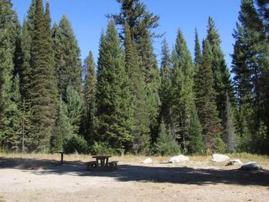
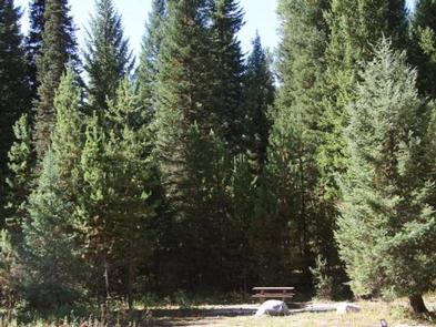
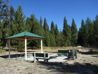
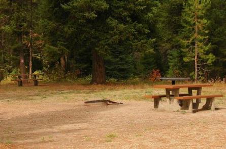
This fully-accessible campground is a small facility with just five campsites that make up one group site that can accommodate up to 50 people. Picnic tables, grills, a small picnic shelter, and campfire rings are provided. Parking spurs can accommodate small to medium RVs up to 30 feet in length. Vault toilets and drinking water are available.
Natural Features
The surrounding area consists of high, forested mountains, and steep valleys. The campground lies close to an experimental forest and a fire lookout.
A variety of wildlife makes its home in and around Peace Valley, including deer, elk, bald eagles, and red-tailed hawks.
Nearby Attractions
Silver Creek Plunge, a privately-developed hot springs resort, is 2.5 miles away with a hot springs pool, general store, concessions, a playground, horseshoe pits, and both volleyball and basketball courts.