
Directions
From Coeur d’Alene, Idaho, go east on I-90 to exit 22, then turn south on ID-97. Drive 2.5 miles to Forest Road 438 and turn left. Go one mile and look for signs.
Phone
435-245-6521
Activities
BIKING, BOATING, CAMPING, FISHING, HIKING, WATER SPORTS, SWIMMING SITE, MOUNTAIN BIKING, KAYAKING, CANOEING, BIRDING
Keywords
beauty bay,beauty,beauty bay campground,beauty creek
Related Link(s)
Overview
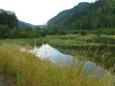
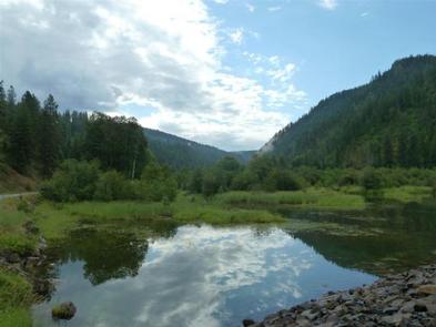
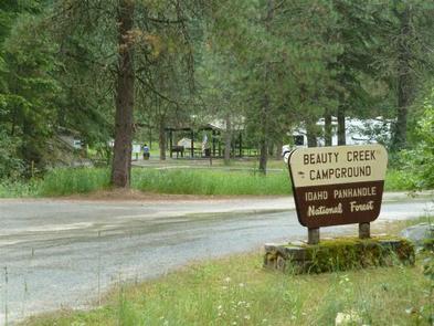
Beauty Creek Campground is located a half mile from Lake Coeur d’Alene along the peaceful Beauty Creek. Visitors enjoy breathtaking scenery and convenient access to miles of trails.
Recreation
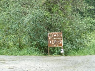
The trailhead for the Caribou Ridge National Recreation Trail starts at the campground. The 5-mile trail features a moderate climb with two outstanding overlooks of Lake Coeur d’Alene.
Biking and hiking trails in the area include the 1.8-mile Beauty Creek Overlook and the 4.9-mile Mt. Coeur d’Alene Viewpoint.
Anglers enjoy an abundance of northern pike, chinook salmon and bass in the nearby stream.
Facilities
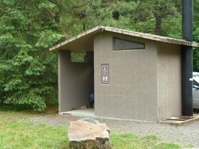
Beauty Creek offers about 20 spacious campsites for both tent and RV camping. Vault toilets and drinking water are provided. Parking aprons are paved.
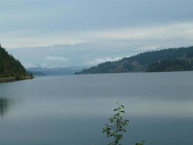
The nearest boat ramp is at Mineral Ridge, which is less than a mile from the campground. Here, visitors have easy access to boating and fishing.
Natural Features
The campground is nestled in a narrow valley along Beauty Creek in northern Idaho. At an elevation of 2,100 feet, it is a sparsely wooded valley surrounded by heavily wooded hillsides.
Beauty Creek sits in the Idaho Panhandle National Forest, between the Cascade Mountains to the west and the Bitterroot Mountains to the east.
Nearby Attractions
Lake Coeur d’Alene offers excellent boating, fishing and canoeing. Towns around the lake offer opportunities for para-sailing, ferry rides, paddle boating and sea plane rides.