
Directions
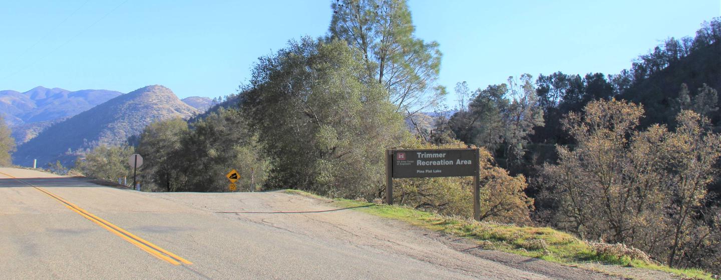
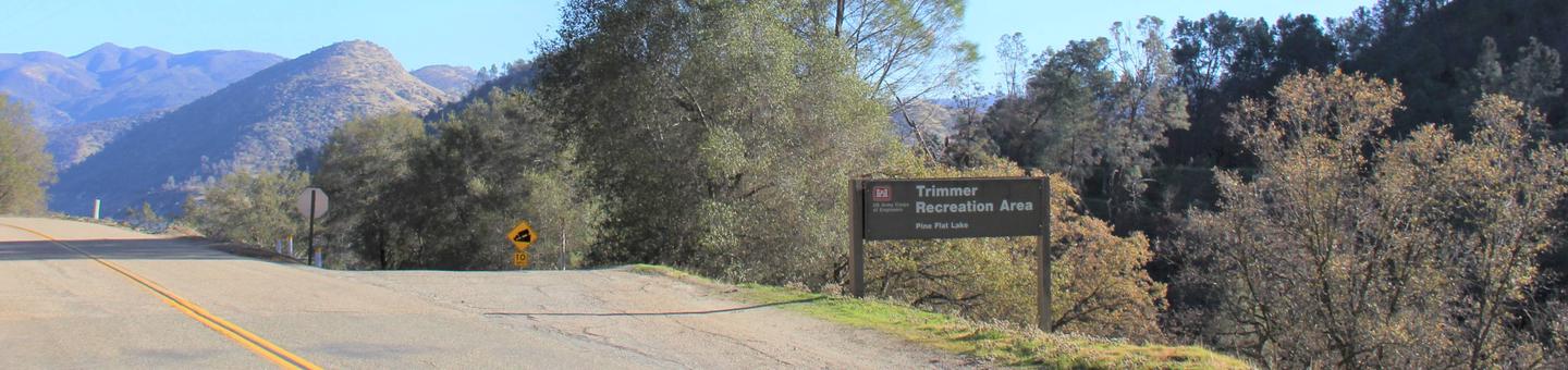
From Fresno, California, travel east on Highway 180/Kings Canyon Highway to Academy Avenue. Turn left onto Academy Avenue, and then turn right on Belmont Avenue. Continue traveling for approximately 26 miles; the entrance to Trimmer Recreation Area is on the right. NOTE: Belmont Avenue becomes East Trimmer Springs Road approximately 6 miles east of the Academy Avenue intersection.
Phone
559-787-2589
Activities
BIKING, BOATING, CAMPING, FISHING, HIKING, HUNTING, WATER SPORTS, SWIMMING SITE
Keywords
None
Related Link(s)
California State Road Conditions
Overview
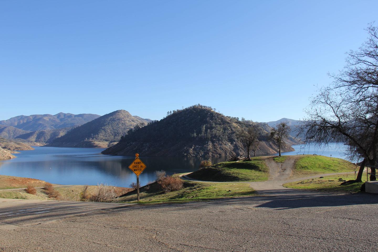
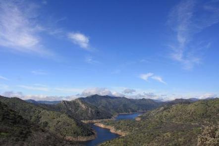
Trimmer Campground is a small facility on the shore of Pine Flat Lake in central California.
Pine Flat Lake spans 20 miles in length and boasts 67 miles of shoreline. The lake, formed in 1954 with the completion of the Pine Flat Dam on the Kings River, is a recreation oasis for the area.
Visitors can fish, boat, swim, hike and hunt from the facility, and several other activities can be accessed within a short drive.
Recreation
Boating, jet skiing, water skiing and fishing are some of the most popular activities at the lake, and a full-service marina is available.
The lake and surrounding watersheds have great fishing. Anglers will find wild trout above and in the lake, as well as large and smallmouth bass, bluegill, crappie, and planted trout.
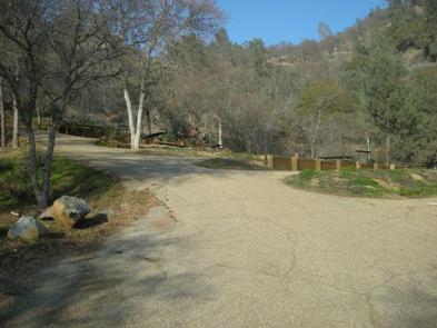
Facilities
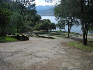
The campground is a small, single-looped facility with 10 individual campsites overlooking Pine Flat Lake.
Each campsite features a picnic table, campfire ring and grill. The campground has a well lit, accessible restroom with flush toilets and free hot showers.
A boat ramp and courtesy dock are adjacent to the campground, and a marina is close by.
Natural Features
Pine Flat Lake is situated where oak and pine forests meet in the foothills of the central Sierra Nevada Mountains. It sits in Kings Canyon at the western edge of Sequoia and Kings Canyon National Parks.
Wildlife spotting opportunities include bobcats and red-tailed hawks.
Nearby Attractions
Visitors can head upstream on Kings River to find superb whitewater rafting in spring and early summer, and scenic drives through Sierra National Forest and Kings Canyon National Park never cease to impress.