FRIENDSHIP PARK, TX Campground Reservation, Info, Images, Map, Directions

FRIENDSHIP PARK, Texas Campground Images, Info & Reservations

Directions

From I-35 take Highway 79 east to Highway 95. Go North to FM 1331 then go East on FM 1331 for approximately 7 miles to the entrance of Granger Dam. Turn left and continue across Dam. Turn left on FM 971 go for approximately 1.5 miles and turn left into the park.

Phone

512-859-2668

Activities

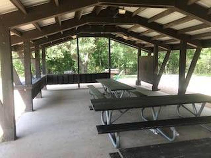
CAMPING, WILDLIFE VIEWING

Keywords

Friendship,Lake Granger,Granger Lake,Granger,Granger Park

Related Link(s)

Rec Area Info & Images

Texas State Road Conditions

Texas State Tourism

Overview

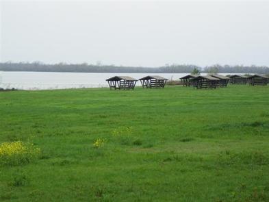
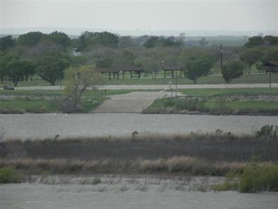
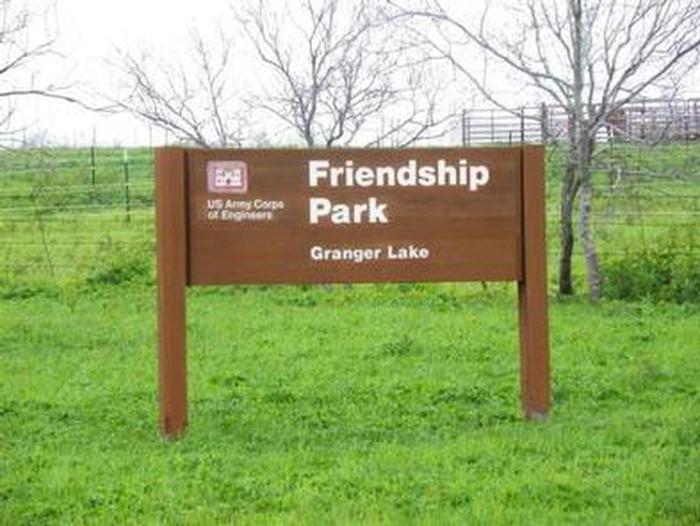
Friendship Park is located in the gently rolling hills of the Texas Blackland Prairie. In the Spring it offers and exceptional array of wildflowers that blanket the landscape. Friendship Park is approximately 15 miles from Taylor, TX and 40 miles from Austin, TX.

Reservation

More from CampingHiking.net:

GROUSE CREEK GROUP SITE, Washington Campground Images, Info & Reservations

Directions Grouse Creek Campground is located approximately 7 miles up the Forest Service Road 6200/Chiwawa River Road. There is a gated spur road just off the main paved road on the left. The campground is at the end of the road alongside Grouse Creek. Phone 509-763-0700 Activities BIKING, CAMPING, FISHING,

MCGREGOR LAKE CAMPGROUND, Montana Campground Images, Info & Reservations

Directions From Libby, MT, take US Route 2 east 53 miles to campground sign. Turn right at sign and go 0.2 miles to campground. An alternate route is to take US Route 2 west from Kalispell, MT, for 32 miles to campground entrance. Phone 406-293-7773 Activities BOATING, CAMPING, FISHING, HIKING,

SAGEHEN CREEK, Idaho Campground Images, Info & Reservations

Directions From Horseshoe Bend, Idaho take Highway 52 for 9 miles west to the junction with the Sweet/Ola Highway. Turn north and travel 16 miles to Ola, Idaho. Travel north through Ola and follow FS Rd 618, 18 miles to Sagehen Reservoir (FS Road 626). Turn right and continue on

JACKSON GUARD STATION, Colorado Campground Images, Info & Reservations

Directions From Montrose, take Highway 50 east for about 20 miles. Turn right (south) onto County Road 858, which leads up the Big Cimarron Drainage for about 20 miles. Shortly after passing Silver Jack Reservoir on the right, Jackson Guard Station will be on the left. From Gunnison, take Highway

MOUNT RYNDA CABIN, Alaska Campground Images, Info & Reservations

Directions Accessible by shallow draft boat and float plane during moderate to high river levels, 18 miles from Wrangell. Low river levels limit small boat access as the Andrews Creek entrance becomes blocked. Tides may affect access; consult local tide tables. A tide of 14 feet or higher is needed