Directions
From Glasgow, KY: Take 31-E south for 15 mi to Hwy 252. Turn right, go 1.5 mi to Hwy 517, turn right and follow signs to entrance. Approximately 19 miles southwest of Glasgow, KY.
Phone
270-622-6959
Activities
CAMPING, HIKING, DAY USE AREA, SWIMMING SITE
Keywords
BAIP,BARREN RIVER LAKE
Related Link(s)
Kentucky State Road Conditions
Overview
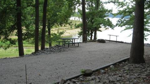
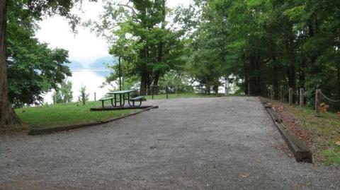
Bailey’s Point campground is the largest of the Army Corps of Engineers’ campgrounds on Barren River Lake. This campground offers several waterfront campsites with scenic views of the lake. Though the campground is one of the largest, you won’t know it. There is room to roam, five camping loops with diverse scenery, and private coves for swimming or mooring your boat. You are sure to find a site that’s your escape to nature and relaxation.
View a virtual tour of Barren River Lake.
Recreation
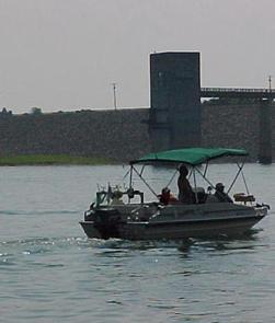
Baileys Point has a boat ramp for access to prime fishing, water skiing and boating. Several islands in proximity to the campground are great for a quick picnic getaway by boat.
Birding is also a popular activity with a variety of species including kestrels, indigo buntings, bald eagles and at night you can hear the calls of barred owls.
Hikers can explore the C.E. Rager Nature Trail and the Robert Foster Hiking Trail. Robert Foster Hiking Trail gives you the opportunity to see the diversity of trees Kentucky has to offer and the C.E. Rager Nature trail is a nice short stroll along the shoreline of the lake. Great for poking around and possibly seeing the resident white squirrel of Baileys Point!
Facilities
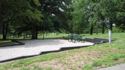
Baileys Point has 215 sites for a variety of RV and tent campers and is open April through October. Most sites are equipped with electric and water hookups. With two playgrounds, a sand volleyball court, basketball court and amphitheater for weekend movie nights, the campground offers plenty of opportunities for family entertainment.
Natural Features
The 10,000-acre lake is hugged by wooded hillsides in south-central Kentucky. With scenic views from almost every campsite, it’s sure to make for a memorable camping experience.
Nearby Attractions
Across the lake from Baileys Point is the Barren River Lake State Resort Park, host of the Glasgow Highland Games. Other ramps and marinas close by are Port Oliver, Peninsula, and The Narrows. Not far away are other attractions such as the National Corvette Museum, Kentucky Down Under, Diamond Caverns, and many other day trips within reach. Visitors can explore Mammoth Cave National Park, an hour north of the campground.
Charges & Cancellations
Once your reservation has been created, there will be a $10.00 fee to cancel and a $10.00 fee to change your sites or dates. Cancellations made the day before, or up to the day after your arrival date will also be charged the first nights use fee. No-Shows are charged a $20.00 fee plus the first nights use fee. If your reservation is for 1 night, and you have been charged the first nights use fee, there is no $10.00 service fee.

