BUNCOMBE CREEK, OK Campground Reservation, Info, Images, Map, Directions

BUNCOMBE CREEK, Oklahoma Campground Images, Info & Reservations

Directions

From Madill, OK, travel south on Highway 99 for 17 miles to Willis, OK, then east for one mile on paved access road. Physical address: 1010 West Buncombe Creek Road, Willis, OK 75020.

Phone

580-564-2901

Activities

BOATING, CAMPING

Keywords

BUNC,TEXOMA LAKE,TEXOMA LAKE

Related Link(s)

Rec Area Info & Images

Oklahoma State Road Conditions

Oklahoma State Tourism

Overview

Buncombe Creek Campground is located on Lake Texoma in Oklahoma’s Cross Timbers Region. The lake is said to be the "Playground of the Southwest," where outdoor activities like fishing, boating, hiking and hunting abound.

Recreation

Lake Texoma is a large reservoir with an excellent fishery and many access points. Boating, swimming, water skiing, hunting, birding and relaxing on the sandy beaches are the typical pursuits of most visitors.

The lake is known as the "Striper Capital of the World," one of the few reservoirs in the nation where striped bass reproduce naturally. Other popular species include largemouth and smallmouth bass, white bass, hybrid striped bass, white crappie, black crappie, channel catfish and blue catfish.

Also available is the scenic Cross Timbers hiking trail, a very popular trail that winds for 14 miles above the lake on rocky ledges and through blackjack woodland. Forty miles of equestrian trails surround the lake as well.

Facilities

This campground offers 54 campsites with electrical and water hookups. Other amenities include flush and vault toilets, showers, drinking water and paved access. Two boat ramps, a dock and dump station are located on-site.

Natural Features

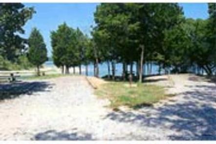
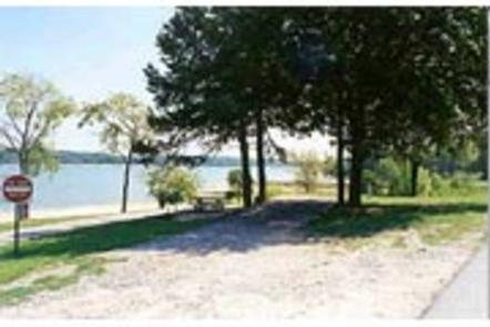
The campground is situated on the northern side of Lake Texoma. Post and blackjack oaks forest the rolling hills of the region. Deer, turkeys, bobcats, hawks, waterfowl and songbirds are abundant around the lake.

Nearby Attractions

The lake features two wildlife refuges, two state parks and 23 commercial concession areas dedicated to the enjoyment of over six million visitors annually.

Reservation

More from CampingHiking.net:

WOODRING CAMPGROUND, Georgia Campground Images, Info & Reservations

Directions From Atlanta, take I-75 north to Exit 293; follow Highway 411 north. Turn right on Highway 136, then left on old Highway 411. Turn right on Highway 282/76. Campground is located 4.5 miles off Highway 282. From Ellijay, GA, take Highway 282/76 west for 11 miles to the access

CHEOAH POINT CABIN 1, North Carolina Campground Images, Info & Reservations

Directions From Robbinsville, North Carolina, continue on Highway 129 north for approximately 6 miles. Turn left on SR # 1145 – Thunderbird Mountain Road. Continue approximately 1.3 miles on Thunderbird Mountain Road to the Cheoah Point Campground. The cabin is located in the Cheoah Point Campground. Phone 828-479-6431 Activities CAMPING,

CHIPPEWA LOOP, Minnesota Campground Images, Info & Reservations

Directions From Cass Lake, Minn., take U.S. Highway 2 east for 4 miles, to the Norway Beach Recreation Area. Turn left and follow the campground road until the signs indicate the Chippewa Loop. Phone 218-335-8600 Activities BIKING, BOATING, HISTORIC & CULTURAL SITE, CAMPING, INTERPRETIVE PROGRAMS, FISHING, WATER SPORTS, SWIMMING SITE

WALL CREEK CABIN, Montana Campground Images, Info & Reservations

Directions From Ennis, take US Highway south for about 18 miles to Indian Creek and the McAtee Bridge fishing access site. Turn right and go nearly 1 mile to junction just beyond bridge. Turn left and travel toward Wall Creek Wildlife Management Area for 2.7 miles to T junction. Turn

SPRINGFIELD, Georgia Campground Images, Info & Reservations

Directions From Interstate 85 in South Carolina, take exit 11 onto Highway 187 south. Turn on Providence Church Road and follow signs to the park. 1915 PROVIDENCE CHURCH ROAD Anderson, SC 29625 Phone 888-893-0678 Activities BOATING, CAMPING, FISHING, SWIMMING SITE Keywords SPRF,HARTWELL LAKE PROJECT Related Link(s) Rec Area Info &

WASHINGTON LAKE, Utah Campground Images, Info & Reservations

Directions From Salt Lake City, Utah, take I-80 east for approximately 30 miles to Exit 146 for Highway 40 toward Park City/Heber City/Vernal. Take Exit 4 onto Highway 248 toward Kamas. Take left onto UT 32 then right onto Highway 150 (Mirror Lake Scenic Byway). Go north approximately a half-mile