CHICKASAW HILL, MS Campground Reservation, Info, Images, Map, Directions

CHICKASAW HILL, Mississippi Campground Images, Info & Reservations

Directions

From I-55, take exit 233 and head east on CR 36/Enid Dam Road. At the Enid Lake Field Office turn north onto Chapel Hill Road and continue for 3 miles. Turn east on Pope Water Valley Road, and after 7 miles turn south on Chickasaw Road and continue into the campground.

Phone

662-563-4571

Activities

BOATING, CAMPING, FISHING, HIKING, DAY USE AREA, SWIMMING SITE

Keywords

CHIH,ENID LAKE- MS,ENID LAKE

Related Link(s)

Rec Area Info & Images

Mississippi State Tourism

Mississippi State Road Conditions

Overview

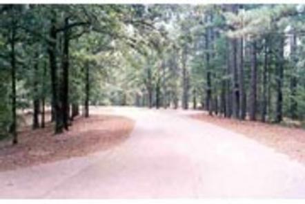
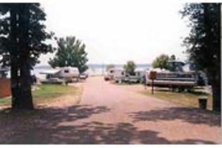
Chickasaw Hill is a quiet, family-oriented campground situated along the banks of Enid Lake in the forests of northern Mississippi.

View a virtual tour of Enid Lake.

Recreation

Enid Lake has been recognized as one of America’s Top 10 Fishing Spots, with white crappie, bass and catfish available in abundance. The lake is the home of the world record white crappie, which weighed an impressive 5 pounds, 3 ounces. Fishing tournaments are held annually at the lake.

Hiking trails wind along the lakeshore and throughout the surrounding landscape, offering hiking, biking and horseback riding opportunities.

Boating is a popular pastime on the lake, and boat ramps are provided at the campground.

Facilities

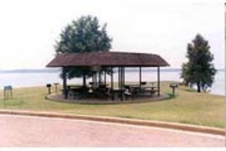
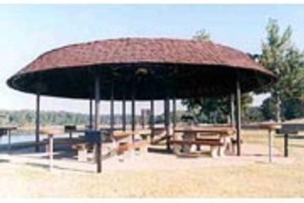
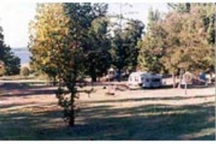
Chickasaw Hill Campground offers 53 campsites, and modern amenities like full hookups and flush toilets are provided. A playground and interpretive trail offer additional recreation opportunities. Picnic areas and shelters, complete with grills and tables, make the area perfect for parties or family trips.

Natural Features

Enid Lake is part of a dam project on the Yocona River. The dam creates almost 16,000 acres of water for millions of annual visitors to enjoy. An additional 44,000 acres of thick, green forests surrounding the lake offer countless recreational opportunities for campers, equestrians, hikers and more.

Nearby Attractions

Memphis, Tennessee, located about an hour away, offers plenty of famous tourist attractions.

Reservation

More from CampingHiking.net:

TRACY RIDGE, Pennsylvania Campground Images, Info & Reservations

Directions Take State Route 321 north off of State Route 59, or south off of State Route 346. Phone 814-368-4158 Activities BOATING, CAMPING, FISHING, HIKING, WATER SPORTS Keywords TRAC,ALLEGHENY NF – FS Related Link(s) Rec Area Info & Images Pennsylvania State Road Conditions Pennsylvania State Tourism Forest Service Concessionaire Overview

LOST BRIDGE SOUTH, Arkansas Campground Images, Info & Reservations

Directions From Rogers, AR, take Highway 62 east for about 13 miles to Garfield. Turn right onto Highway 127 and continue for 6 miles. Turn right onto Highway 127 Spur and follow the signs into the park. Phone 479-359-3755 Activities BOATING, CAMPING, HIKING Keywords LOSS,BEAVER LAKE,LOST BRIDGE SOUTH,SOUTH SIDE,BEAVER LAKE

WILDERNESS GATEWAY, Idaho Campground Images, Info & Reservations

Directions From Lowell, travel east on Highway 12 for about 25 miles to the campground. The campground is located 120 miles east of Lewiston, Idaho; and 100 miles west of Missoula, Mont. It is located at milepost 122 on Highway 12. Phone 208-926-4258 Activities BIKING, BOATING, HISTORIC & CULTURAL SITE,

ESHOM CAMPGROUND, California Campground Images, Info & Reservations

Directions To Eshom Campground from Fresno: Go East on HWY. 180 to HWY. 245, turn right, go to Badger, and turn left on Whitaker Forest Drive. Go approximately 9 miles to Eshom Campground .It will be on the right-side of the road. Phone 559-335-2232 Activities BIKING, CAMPING, FISHING, HIKING, WILDLIFE

BEAVER CREEK (MO), Missouri Campground Images, Info & Reservations

Directions From Mountain Home, AR, travel north on State Route 5 for 24 miles to US 160. Follow 160 west for 42 miles to Kissee Mills, MO to junction of State Route O; go left on State Route O. Follow signs to the park. Phone 417-546-3708 Activities BOATING, CAMPING Keywords