HOOD PARK, WA Campground Reservation, Info, Images, Map, Directions

HOOD PARK, Washington Campground Images, Info & Reservations

Directions

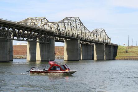
From Pasco, Washington, take Highway 12 east. After crossing the Snake River Bridge, take the next exit and continue to State Route 124. The park entrance is on the left just after the roundabout.

Phone

509-547-2048

Activities

BOATING, CAMPING, FISHING, HIKING, DAY USE AREA, SWIMMING SITE

Keywords

HOOD,MCNARY,LAKE WALLUA,MCNARY LOCK & DAM

Related Link(s)

Rec Area Info & Images

Washington State Tourism

Washington State Road Conditions

Overview

Hood Park is located on Lake Wallula in eastern Washington. The lake is formed by McNary Lock and Dam on the Mid-Columbia River.

Lewis and Clark camped two miles downstream at the confluence of the Snake and Columbia Rivers, which is now the location of Sacajawea State Park.

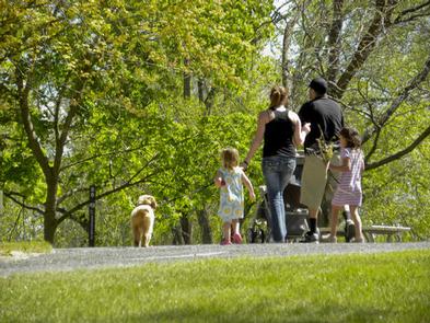
Visitors enjoy camping, fishing, boating, hiking, picnicking and swimming.

Recreation

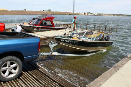
The lake provides great boating and swimming opportunities, and a boat ramp is provided for guests.

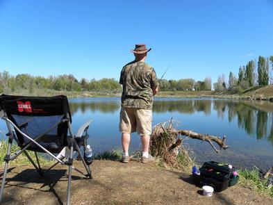
Fishing is also a popular pastime, and anglers will find excellent salmon and steelhead fishing on the lake.

Facilities

Hood Park offers 67 family sites and one day-use group picnic shelter, all with electric hookups.

Natural Features

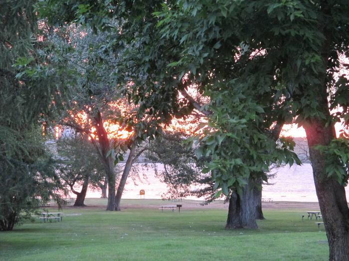
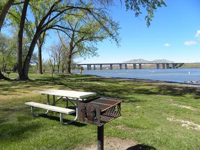
The campground is situated along the banks of the lake, offering sweeping views. Campers enjoy relaxing in the shade of the mature trees throughout the park.

Nearby Attractions

The McNary National Wildlife Refuge is adjacent to the park. It provides habitat for migrating waterfowl, bald eagles, shorebirds and other wildlife. Nature trails and an environmental learning center are open to the public.

Reservation

More from CampingHiking.net:

LITHIA SPRINGS, Illinois Campground Images, Info & Reservations

Directions From Shelbyville, Illinois, go three miles east of Shelbyville on State Route 16 to County Road 2200E. Turn left and go two miles to County Road 1500N. Turn left again and drive 1.4 miles to the campground. Phone 217-774-3951 Activities BOATING, CAMPING, FISHING, VISITOR CENTER, DAY USE AREA, SWIMMING

BROOKCHAR, Arizona Campground Images, Info & Reservations

Directions From Show Low, Arizona, take Highway 260 east for 60 miles to Highway 261. Take Highway 261 south for 20 miles to Forest Road 115 and follow it south for 1 mile. Phone 928-735-7313 Activities BOATING, CAMPING, FISHING Keywords BROC,BIG LAKE,APACHE-SITGREAVES NF-FS Related Link(s) Rec Area Info & Images

SPLIT MOUNTAIN GROUP CAMPGROUND, Utah Campground Images, Info & Reservations

Directions Split Mountain Campground is located approximately 12 miles north of US Highway 40. Take Utah State Route 149 from Jensen, Utah. Phone 435-781-7700 Activities BIKING, BOATING, HISTORIC & CULTURAL SITE, CAMPING, FISHING, HIKING, VISITOR CENTER, WILDLIFE VIEWING Keywords DNM Related Link(s) Rec Area Info & Images Utah State Road

HARD ROCK CAMPGROUND, Oregon Campground Images, Info & Reservations

Directions From Blue River, OR, travel 4 miles east on Highway 126 to Aufderheide Drive (Forest Service Road 19). Turn right on Aufderheide Drive and continue south about 3/4 mile. Veer right at the Y and continue 10 miles to the campground. Phone 801-226-3564 Activities FISHING, WILDLIFE VIEWING Keywords HROC,WILLAMETTE

WILSON POINT (Day Use), Oklahoma Campground Images, Info & Reservations

Directions From Sawyer, OK, take Highway 147 north for a mile, then turn left into the day use area. Phone 580-326-0173 Activities BOATING, CAMPING, FISHING, HIKING, HUNTING, WILDLIFE VIEWING, SWIMMING SITE Keywords None Related Link(s) Rec Area Info & Images Oklahoma State Tourism Oklahoma State Road Conditions Overview Wilson Point