
Directions
From Louisville, take I-65 south to the Western Kentucky Parkway. Head west for approximately 30 miles, then turn south on Highway 259. After 12 miles turn left onto Highway 2067 and follow signs into the campground
Phone
270-286-4230
Activities
BOATING, CAMPING, FISHING, HIKING, PICNICKING, WATER ACTIVITIES, KAYAKING, CANOEING, JET SKIING
Keywords
MOTA,NOLIN LAKE,NOLIN RIVER LAKE
Related Link(s)
Kentucky State Road Conditions
Overview
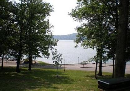
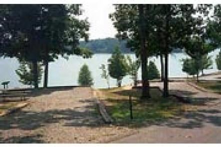
Moutardier Campground sits on the shores of Nolin River Lake in the rolling landscape of southern Kentucky. The large lake and surrounding greenery create a recreational oasis for outdoor enthusiasts. Click here to take a tour of our lake.
Recreation
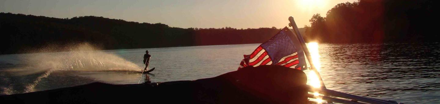
Known for its unique blue/green water, Nolin Lake is one of the top lakes in Kentucky for catfish, bass, crappie and walleye fishing.
Visitors can enjoy scenic canoe and boat trips along the river, part of which is located within Mammoth Cave National Park. Boat ramps are provided around the lake for campers’ convenience.
The Moutardier, Ponderosa and Wax Marinas are located around the lake and offer pontoon and john boat rentals, as well as boat slips and groceries, bait, gas and more.
Several hiking trails also wind along the shoreline and into the surrounding forest. Shady Creek Trail, located within the recreation area, is known for its array of wildflowers and greenery.
Facilities
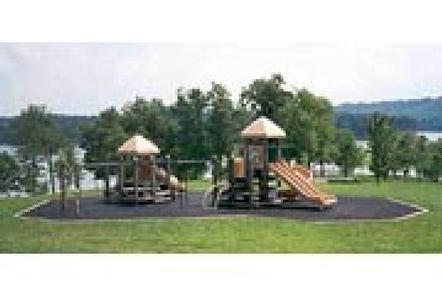
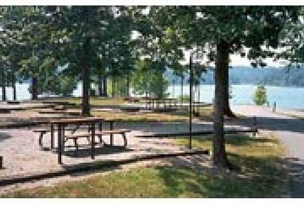
Moutardier Campground offers 167 campsites, complete with modern amenities like electric and water hookups. We have flush toilets and shower houses. Campsites are located along the shoreline allowing easy access to the lake for visitors.
Natural Features
Nolin Dam creates a 5,795-acre lake that draws more than two million visitors each year to enjoy water sports and camping in the surrounding expanse of rolling forest.
Nearby Attractions
Mammoth Cave National Park is located a short drive or ferry ride away from the campground, and several golf courses and riding stables are located around the lake.
Charges & Cancellations
* Once your reservation has been created, there will be a $10.00 fee to cancel and a $10.00 fee to change your sites or dates. * Cancellations made the day before, or up to the day after your arrival date will also be charged the first nights use fee. * No-Shows are charged a $20.00 fee plus the first nights use fee. * If your reservation is for 1 night, and you have been charged the first nights use fee, there is no $10.00 service fee.