PRAIRIE RIDGE (RATHBUN LAKE), IA Campground Reservation, Info, Images, Map, Directions

PRAIRIE RIDGE (RATHBUN LAKE), Iowa Campground Images, Info & Reservations

Directions

From Moravia, IA, travel 4 miles west on Highway J18, then south 2.5 miles on 200th Avenue (gravel). Follow signs into campground.

Phone

FOR CAMPGROUND INQUIRIES DURING MAY-SEPTEMBER PLEASE CALL 641-724-3103. DURING CLOSED SEASON OCTOBER-APRIL PLEASE CALL 641-647-2464

Activities

BIKING, BOATING, CAMPING, FISHING, HIKING, PICNICKING, WILDLIFE VIEWING, DAY USE AREA, SWIMMING, KAYAKING, CANOEING, WATER ACCESS, SAILING

Keywords

PRAI,RATHBUN LAKE,PRAIRIE RIDGE RATHBUN LAKE,RATHBUN LAKE

Related Link(s)

Rec Area Info & Images

Iowa State Road Conditions

Iowa State Tourism

Overview

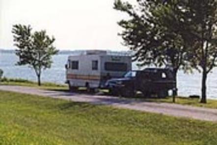
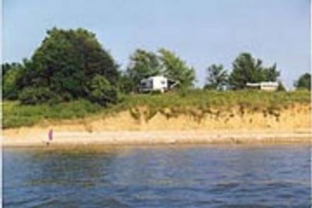
Prairie Ridge Park is located 6 miles, SW of the Jct of Iowa Highway 5 and J18 at Moravia. Awesome Sunsets- No Extra Charge! Rathbun’s off-the-beaten path park offers unique opportunities for lover’s of the outdoors. Nestled between Buck Creek and Honey Creek, the high ridge offers wonderful vistas of the lake while surrounded by Iowa’s Natural and enhanced prairie life community, with woodland draws and timbered hillsides.

Recreation

Prairie Ridge Boat Ramp is protected on three sides and has been long popular with both motorized craft and a launching area for wind surfers and catamarans. A courtesy dock with fish cleaning station aid families on and off the water.

Facilities

Fifty-four family friendly, Large, campsites are available in two seperate camp areas. Two shower houses, drinking water and RV dump stations is available. A modern playground offers activities for our younger visitors.

Natural Features

Rathbun’s most extensive trail, eight miles in length, takes hikers and bikers into Iowa’s wild, and links to Iowa’s Premier destination park at Honey Creek Resort.

Nearby Attractions

The park is within a few minutes of lake conveniences, bait, dining, and fuel. Rathbun’s fish hatchery is open to the public on weekdays. Groups are encouraged to make appointments. 14 minutes west, on Hwy S70, one of Southern Iowa’s best off-roading opportunities is at the 125 Acre Rathbun OHV Park. There’s even a tot lot beginner’s area. Search Rathbun OHV Park on-line for actual dates of operation and applicable rules.

Reservation

More from CampingHiking.net:

PROSSER RANCH GROUP, California Campground Images, Info & Reservations

Directions From either east bound or west bound Interstate 80 in Truckee take exit 188, Highway 89 north toward Sierraville. In aproximately 3.5 miles turn right at the sign for Prosser Recreation Sites then in about two miles the campground will be on the right. Phone 530-587-3558. FOR RESERVATIONS, PLEASE

LUNA WHITE DEER CAMPGROUND, Wisconsin Campground Images, Info & Reservations

Directions From Eagle River, travel 13.4 miles on STH 70 to FR2176 (Divide Road). Turn right (south) and continue 5.6 miles to FR2188. Turn right and travel 0.7 miles to the campground. Phone (715) 479-2827 Activities BIKING, BOATING, CAMPING, FISHING, WILDLIFE VIEWING, SWIMMING SITE Keywords Related Link(s) Rec Area Info

COLTON GUARD STATION, Utah Campground Images, Info & Reservations

Directions Follow the mileage indications below and look for signs when traveling to Colton Guard Station. Leave with plenty of time to arrive at the guard station before dark. From Vernal, travel north on U.S. Highway 191/Vernal Avenue for approximately 20 miles. Turn left (west) on Forest Road 020. A

HOT SPRINGS, Idaho Campground Images, Info & Reservations

Directions From Boise, Idaho, take State Highway 55 north 35 miles to Banks. Turn east onto the Banks-Lowman Highway and go 17 miles to the campground, which is on the lefthand side of the highway. Phone 541-351-1182 Activities BOATING, CAMPING, FISHING Keywords HOT1,BOISE NF – FS Related Link(s) Rec Area

JUNIPER LAKE GROUP, California Campground Images, Info & Reservations

Directions From the Red Bluff (I.5), drive east on state HWY 36 approximately 70 miles to Chester. Turn left at fire station immediately after crossing Feather River Bridge (watch for National Park Service sign on right) continue approximately 13 miles follow signs to Juniper Lake Campground and Group Campsite Area.

STORM MOUNTAIN, Utah Campground Images, Info & Reservations

Directions From I-215, take the 6200 South exit and travel a mile east to Wasatch Blvd. Take Wasatch Blvd a mile south to junction with Big Cottonwood Canyon/Highway 190. Make a left at the junction and travel up Big Cottonwood Canyon 2.8 miles to the picnic area. Phone SALT LAKE