RIVERSIDE (KS), KS Campground Reservation, Info, Images, Map, Directions

RIVERSIDE (KS), Kansas Campground Images, Info & Reservations

Directions

From Salina, KS: Take HWY 140 19 miles west to HWY 141. Travel 14 miles south on 141, then 1/2 mile east on Riverside Drive. Look for signs to the park.
From Ellsworth, KS: Take HWY 140 15 miles east to HWY 141. Travel 14 miles South on Hwy 141. Travel 1/2 mile East on Riverside Drive and look for signs to the park.
From Lindsborg, KS: Take HWY 4 approximately 15 miles west to HWY 141. Travel 3 miles north, then 1/2 mile east on Riverside Drive and look for signs to the park.

Phone

785-546-2294

Activities

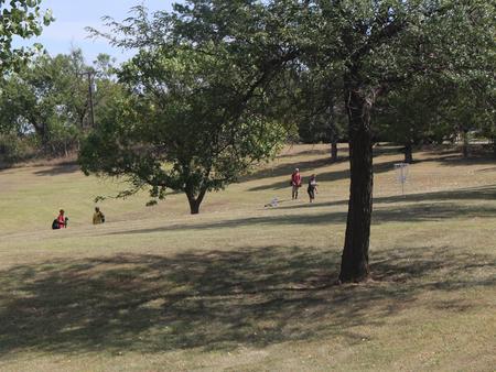
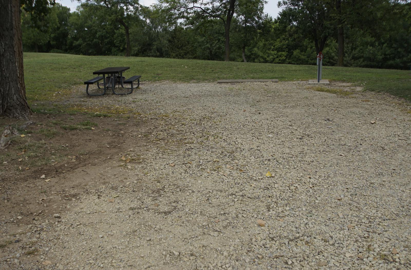
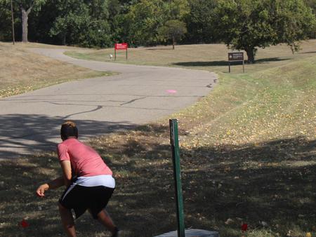
CAMPING, FISHING, PICNICKING, WATER ACCESS, DISC GOLF

Keywords

RIVE,KANOPOLIS LAKE,KANOPOLIS LAKE

Related Link(s)

Rec Area Info & Images

Kansas State Road Conditions

Kansas State Tourism

Overview

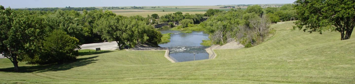
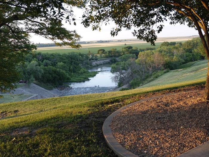
Riverside Campground is located on the Smoky Hill River just downstream from Kanopolis Lake in central Kansas, 30 miles southwest of Salina. Kanopolis Lake, one of the state’s oldest lakes, provides many outdoor activities, including boating, fishing and hunting.

Recreation

Kanopolis Lake offers great boating and fishing opportunities. On land, hunting, hiking, and biking are popular activities.

Facilities

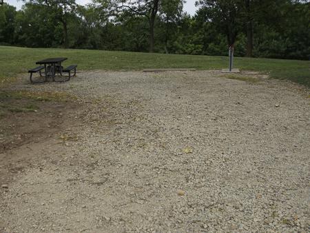
Riverside Campground offers 25 campsites, 16 with electric and water hookups and 9 primitive campsites. Other amenities include flush toilets, drinking water, showers, a playground, dump station and direct river access. During the peak season (May 15- Sep 15) all camping payments will be made directly to Recreation 1 Stop. Below is the proper procedure when arriving at Riverside: 1.If Reservation is made prior to arrival, proceed to reserved site and have reservation number available for proof of payment. 2.If arriving without a reservation do the following: -Select Campsite (Reservations are not posted. Do not set up on site until payment is made) -Visit www.recreation.gov or call 1-877-444-6777 to check availability and pay for camping fees. -Record you reservation number for proof of payment -Set up on Campsite

Natural Features

The campground is situated on the wooded riverside where wildlife is abundant. Whitetail deer, pheasants, quail, turkeys, rabbits, squirrels and a wide variety of waterfowl are commonly seen. Sandstone bluffs, rolling hills, and vast, open prairie lands surround the lake.

Nearby Attractions

The Fort Harker Museum in Kanopolis and the Rogers Art Gallery and Museum in Ellsworth both portray the settlement of the American West. Kanopolis State Park, Kansas’ first, offers numerous trails for hiking, biking and horseback riding. The park also has additional boating, fishing, and picnicking areas.

Reservation

More from CampingHiking.net:

OSPREY, Idaho Campground Images, Info & Reservations

Directions From I-90, turn at Post Falls Highway 41 north to Newport. Take Highway 2 east to Priest River at the junction of Highway 57 and Highway 2. Turn left at the Texaco station on Highway 57 and drive 25 miles to Outlet Bay Road. Turn right for approximately 0.5

SNAKE CREEK, Oklahoma Campground Images, Info & Reservations

Directions From Gore, OK, go 15 miles northeast on Highway 100, then turn left and go 1/2 mile west on paved access road. Phone 918-487-5252 Activities BOATING, CAMPING, SWIMMING SITE Keywords SANK,TENKILLER LAKE,TENKILLER FERRY LAKE,TENKILLER FERRY Related Link(s) Rec Area Info & Images Oklahoma State Road Conditions Oklahoma State Tourism

MOSER ISLAND CABIN, Alaska Campground Images, Info & Reservations

Directions Accessible year round, weather permitting. Located 48 air miles north of Sitka, within Hoonah Sound on the north end of Moser Island, north of Peril Strait. Access from Sitka is 30 minutes by floatplane, or 2 hours by boat. For geographic features surrounding the cabin, refer to USGS topographic

Moonflower Canyon Group Site, Utah Campground Images, Info & Reservations

Directions From the center of Moab (at Center and Main) head south to Kane Creek Road. Turn right (west) on Kane Creek Road and drive 3.5 miles. You will see the Moonflower Campground on the left just past the King’s Bottom Campground. Phone (435)259-2100 Activities BIKING, HISTORIC & CULTURAL SITE,

WHITE CLOUD, California Campground Images, Info & Reservations

Directions From Nevada City, travel east on Highway 20 for 10 miles. Turn right at the White Cloud Campground sign and then the first right into the campground. From Interstate 80 take exit 161, Highway 20 to Nevada City and drive 26 miles west toward Nevada City. Turn left at

SANTA BARBARA ISLAND, California Campground Images, Info & Reservations

Directions Boat transportation can be arranged with Island Packers from Ventura Harbor. To park headquarters in Ventura, California: Highway 101, exit Victoria or Seaward to Ventura Harbor. Phone 805-658-5730 Activities BOATING, CAMPING, INTERPRETIVE PROGRAMS, FISHING, HIKING, PICNICKING, VISITOR CENTER, WATER SPORTS, WILDLIFE VIEWING, WILDERNESS, INFORMATION SITE, PHOTOGRAPHY, SWIMMING, SNORKELING, RANGER