SHOUSE FORD, AR Campground Reservation, Info, Images, Map, Directions

SHOUSE FORD, Arkansas Campground Images, Info & Reservations

Directions

From Interstate 30, take exit 78 and merge onto State Highway 7 north to Bismarck. Turn left on State Highway 84 and go 9 miles west to Point Cedar. Turn left onto Shouse Ford road and continue 4 miles to the campground.

Phone

870-246-5501

Activities

BOATING, CAMPING, FISHING, HIKING, DAY USE AREA, SWIMMING SITE

Keywords

SHOU,DEGRAY LAKE,DEGRAY LAKE

Related Link(s)

Rec Area Info & Images

Arkansas State Road Conditions

Arkansas State Tourism

Overview

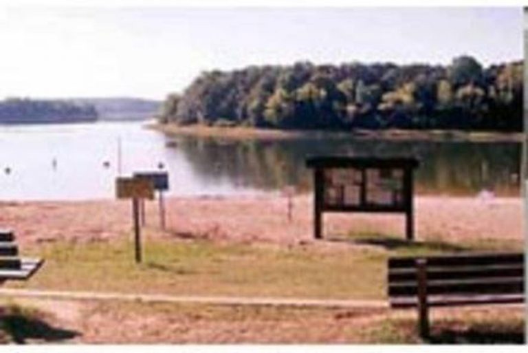
Shouse Ford Campground sits on the banks of DeGray Lake in the foothills of the Quachita Mountains. Large sandy beaches, world-class fishing and endless water sports make the campground a popular recreation area.

Recreation

Boating, water skiing, kayaking and other water sports are the biggest draw to the lake, and a boat ramp and large sandy beaches are provided.

The lake is also stocked with a variety of game fish, including plenty of hybrid striped bass, making it an ideal area for both boat and bank fishing.

Facilities

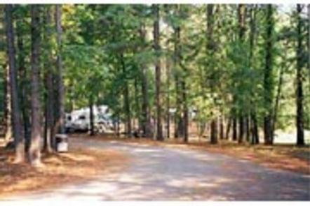
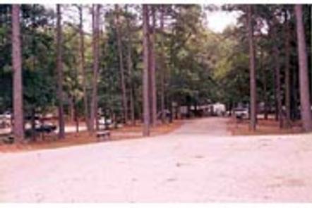
Shouse Ford provides reservable modern campsites with electric hookups. The campground come with flush toilets, hot showers, water, two swimming beaches, an amphitheater and a boat ramp.

To see USACE DeGray Lake Virtual Tour,
click here.

Natural Features

Degray Lake is one of the region’s five Diamond Lakes, known for their crystal clear waters. The lake flows from the Caddo River in western Arkansas and spans 13,500 surface acres.

Nearby Attractions

The DeGray Lake Resort State Park offers golf courses, tennis courts, horseback riding trails and more along the 207 miles of lake shoreline.

The Ouachita National Forest and Hot Springs National Park are both located nearby.

Reservation

More from CampingHiking.net:

TWIN LAKES (SC), Georgia Campground Images, Info & Reservations

Directions Take Interstate 85 to exit 14 and merge onto Highway 187. After passing Clemson Research Center, turn left onto Fants Grove Road and follow directional signs to the park. 140 Winnebego Trail, Pendleton, SC 29670 Phone 888-893-0678 (HARTWELL LAKE OFFICE) Activities BOATING, CAMPING, FISHING, SWIMMING SITE Keywords TWI2,HARTWELL LAKE

SOUTH MARCUM CAMPROUND, Illinois Campground Images, Info & Reservations

Directions From I-57 take exit 71 and turn west onto Highway 14. After 3 miles turn right on Rend City Road, then right on Rend Lake Dam Rd. Continue 3 miles to the park entrance on the left. Phone 618-724-2493 Activities BIKING, BOATING, CAMPING, FISHING, HIKING, HUNTING, SWIMMING SITE Keywords

AMERICAN RIDGE LODGE, Washington Campground Images, Info & Reservations

Directions Please contact the Ranger District at 509-653-1401 prior to your arrival to check any restrictions or conditions, such as fire or road closures, or weather that may affect the quality of your visit. Access to the lodge is through a locked gate. The combination to the gate lock will

WOODED HILL GROUP, California Campground Images, Info & Reservations

Directions Located 50 miles east of San Diego, California. Take I-8 to the Sunrise Highway exit. Go approximately 8.1 miles and turn west onto Wooded Hill Road. Phone 619-445-6235 Activities BIKING, CAMPING, HIKING, PICNICKING Keywords WOOH,CLEVELAND NF – FS Related Link(s) Rec Area Info & Images California State Tourism California

CAMPBELL POINT, Missouri Campground Images, Info & Reservations

Directions From Cassville, Missouri, take Highway 76 to Highway 39, then turn southeast onto the Highway YY access road and follow to the campground. Phone 417-858-3903 Activities BIKING, BOATING, CAMPING, FISHING, HIKING, PICNICKING, VISITOR CENTER, WATER SPORTS, WILDLIFE VIEWING, DAY USE AREA, SWIMMING SITE, PHOTOGRAPHY, SWIMMING, RANGER STATION, KAYAKING Keywords