
Directions
From Highway 24 in Perry, Kansas, take Ferguson Road north for 7 miles, then turn onto Slough Creek Road and follow signs to the campground.
Phone
785-876-3127
Activities
BIKING, BOATING, CAMPING, FISHING, HIKING
Keywords
SLOU,PERRY LAKE,PERRY LAKE
Related Link(s)
Overview
DUE TO FLOODING DAMAGES, SLOUGH CREEK PARK WILL BE PARTIALLY CLOSED. PLEASE CHECK BACK FOR UPDATES.
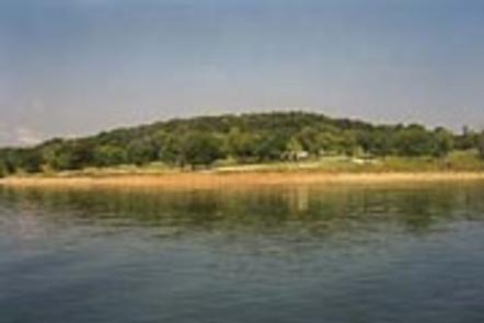
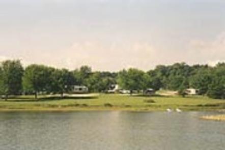
Slough Creek Campground is situated on Perry Lake in the lush Kansas forest. As the largest and most popular recreation area at the lake, Slough Creek is an ideal destination for family camping trips.
CAMPGROUND GATE POLICY–Park entrance gates will be closed from 10pm-6am on Friday and Saturday nights and the entirety of holiday weekends. An exit lane is provided with one way traffic only. No late entrance will be allowed and only Park Staff or Emergency Personnel will be permitted though the gate after 10pm.
Recreation
Perry lake has a reputation for being one of the best sailing lakes in the region; however, boaters of all types will enjoy the many opportunities offered here, whether it’s sailing, power boating or canoeing. Perry Lake offers excellent fishing: White crappie, flathead catfish, walleye, white bass, channel catfish and sauger are in abundance throughout the lake. In addition to the vast lake, the area has approximately 27,000 acres of public land dedicated to wildlife management: turkey, deer, quail, pheasant, rabbit, squirrel, duck and geese are all found on these federal lands. For hikers, the 29-mile Perry Lake loop trail offers a range of terrain and difficulty from easy, gentle slopes in the south to rugged, varying elevation changes in the north. The Slough Creek trailhead for the Perry Lake Trail is located on-site. There is also a short loop trail through the Slough Creek Area called the Thunder Ridge Trail with the trailhead just outside the main campground gate. The Thunder Ridge Trail is approximately 2.5 miles and offers a diverse array of terrain and scenery in such a short trail.
Facilities
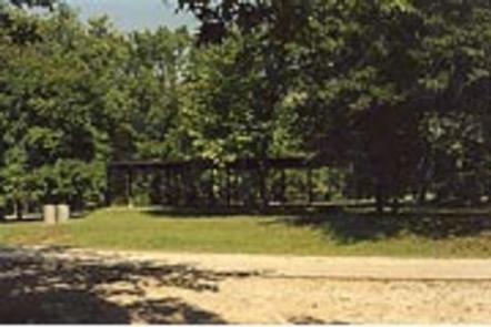
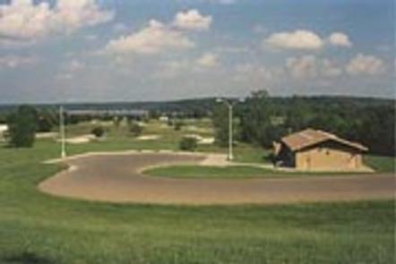
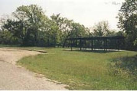
Slough Creek Campground offers 204 reservable spacious campsites, ranging from walk-in tent sites to full electric and water hookup sites. In addition to the individual campsites, one large group camp is available for large parties or family functions and provides privacy from the main campground.
Natural Features
Perry Lake Dam was completed in 1969 to help with flood control for the Missouri and Mississippi Rivers. Today, the lake boasts 159 miles of shoreline and 12,000 surface acres of water, creating countless recreational activities for visitors, and earning it the nickname “paradise on the plains.” The campground is surrounded by the lake on one side and a dense canopy of forest on the other, making it ideal for those wishing to enjoy the best of both environments.
Nearby Attractions
Perry Lake is a short drive from Lawrence, Topeka, and Kansas City–each with their own array of shopping, dining, and attractions.