
Directions
From Tulsa, Oklahoma, take Highway 75 north to State Highway 20. Take the Skiatook exit, turn west on State Highway 20 and drive about 15 miles. Turn left on Lake Road and proceed about five miles to the campground.
Phone
918-288-6820
Activities
BOATING, CAMPING, FISHING, DAY USE AREA, SWIMMING SITE
Keywords
TALL,SKIATOOK LAKE,SKIATOOK LAKE OFFICE,TALL CHIEF,PICNIC SHELTER,PAVILION,SKIATOOK LAKE
Related Link(s)
Oklahoma State Road Conditions
Overview
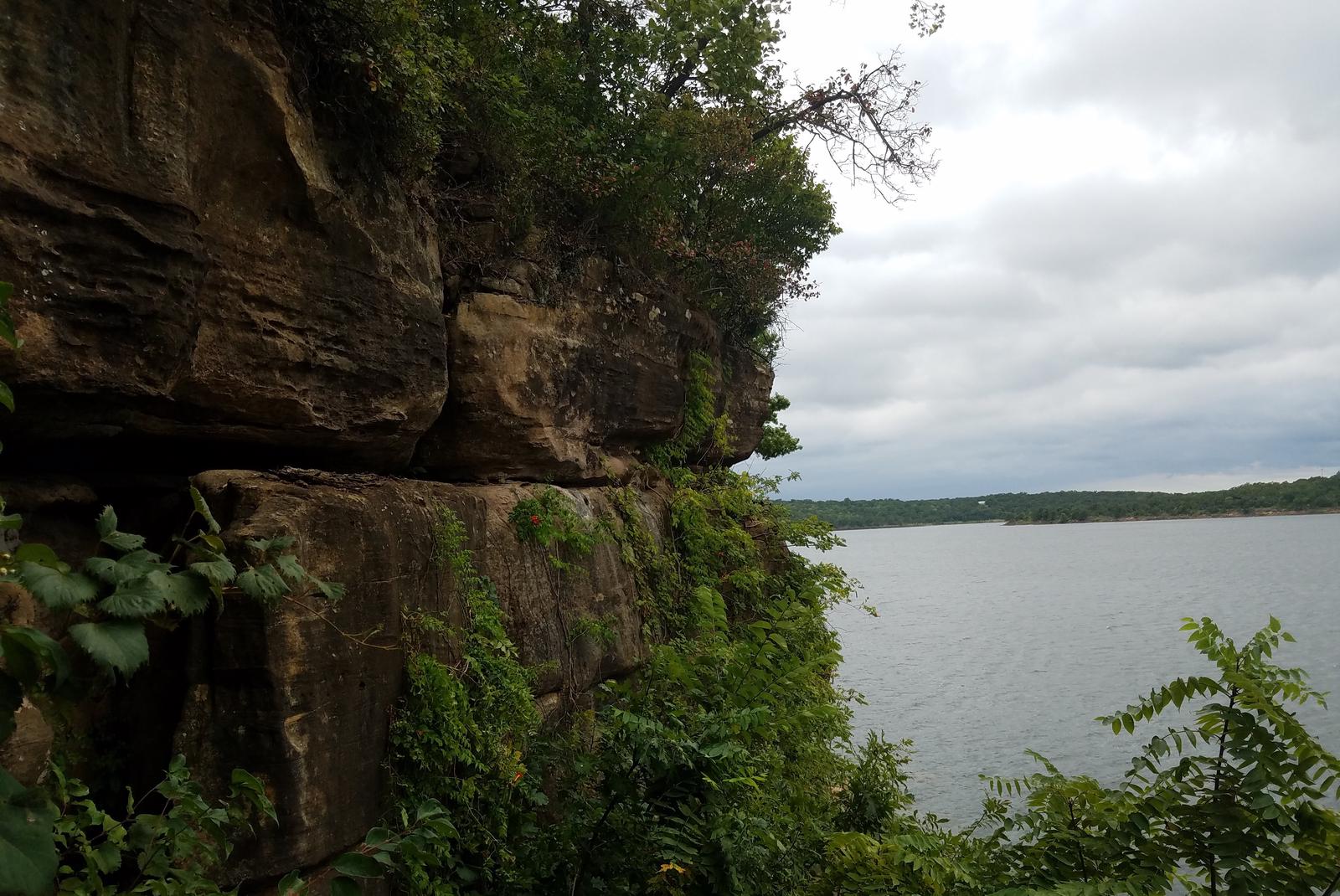
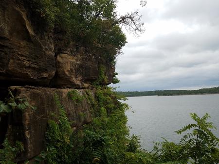
Located on beautiful Skiatook Lake in northeast Oklahoma, Tall Chief Cove is one of the most popular campgrounds in the region.
The campground has a variety of sites along the forested lakeshore, and visitors can enjoy boating, hiking, swimming, picnicking and fishing from the facility.
Recreation
Families enjoy the convenience of this facility’s swim beach, picnic areas, nature trail, playground and educational programs.
Sport fishing for largemouth bass, black and white crappie, channel catfish and several species of sunfish offers anglers many hours of enjoyment on the lake.
About 6,000 acres of public land in the lake area are open to hunters wishing to pursue whitetail, quail, rabbit and squirrel.
Facilities
Tall Chief Cove offers 50 individual sites with electric hookups and one group picnic shelter for day use that can host up to 200 people. All guests with reservations can utilize our professional style volley ball court, basketball court, disc golf course, or horseshoe pits. The campground provides covered picnic tables, restrooms and showers.
Natural Features
Gentle rolling hills of blackjack and post oak trees intersperse with tall grass prairie around the glistening lake. The shoreline is accentuated by steep picturesque bluffs which offer views of the water.