
Directions
Take state highway 99, to east on Hwy 190 for 25 miles until you arrive to campground enterance. Please follow the signs.
Phone
559-784-0215
Activities
BIKING, BOATING, CAMPING, INTERPRETIVE PROGRAMS, FISHING, HIKING, HORSEBACK RIDING, HUNTING, PICNICKING, DAY USE AREA, OBSERVATION SITE, INFORMATION SITE, SWIMMING, MOTOR BOAT, RANGER STATION, PADDLE BOATING, WATER ACTIVITIES, KAYAKING, CANOEING, STAR GAZING, BIRDING, NON-MOTORIZED BOATING, WATER ACCESS, JET SKIING, WATER SKIING, RECREATION PROGRAMS, BACKPACKING, SAILING, AMPHITHEATER, TUBING, ACCESSIBLE SWIMMING
Keywords
TUL2,SUCCESS LAKE,LAKE SUCCESS,SUCCESS LAKE
Related Link(s)
California State Road Conditions
Overview
Tule Campground is located at Success Lake in the Sierra Nevada foothills just 8 miles east of Porterville, California. A variety of outdoor recreational activities abound, including boating, kayaking and fishing.
Recreation
The lake provides great opportunities for boating and swimming. Kayaking the lake’s quiet, unpopulated coves is a favorite activity. Anglers fish for bass, crappie, catfish, bluegill and the occasional trout.
Facilities
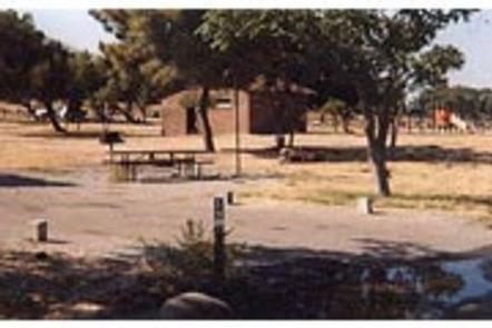
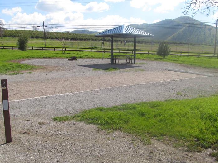
The campground is open year round and offers 103 sites, several of which have electric hookups. Flush toilets, showers, drinking water and a dump station are provided. Playgrounds and boat ramps are located on-site. Campfire programs are presented at the amphitheater on Saturdays from Memorial Day weekend to Labor Day weekend. Campground gates are closed from 10p.m. to 6 a.m.
Natural Features
Success Lake, when full, covers 82,500 acre-feet of water with a surface area of 2,450 acres. One acre-foot is equal to 325,872 gallons of water!
The campground sits on the northeastern shore of the lake, in an area dotted with sparse stands of trees. Shade is limited, but springtime wildflowers bloom on the surrounding foothills, creating a beautiful display of color.