
Directions
From Tulsa, Oklahoma, take Highway 412 west for 15 miles to Bears Glen exit. Turn left at stop sign onto the Frontage Road and drive 1 block. Turn right at first paved road and follow 2 miles to the campground entrance.
Phone
918-865-2621
Activities
BOATING, CAMPING, FISHING, HIKING, PICNICKING, WATER SPORTS, WILDLIFE VIEWING, DAY USE AREA, SWIMMING SITE, PHOTOGRAPHY, SWIMMING, WATER ACTIVITIES, BIRDING, WATER ACCESS, SCENIC DRIVE
Keywords
WASI,KEYSTONE LAKE,KEYSTONE LAKE
Related Link(s)
Oklahoma State Road Conditions
Overview
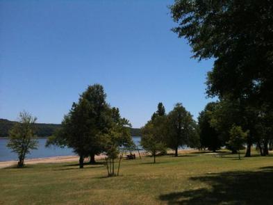
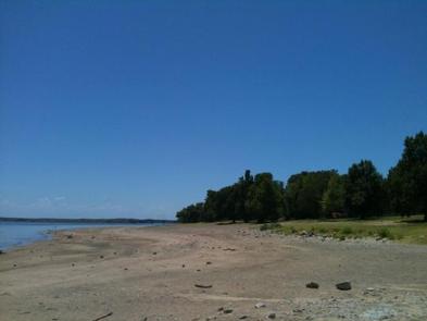
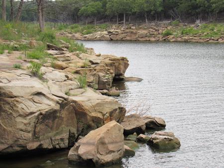
Washington Irving South is located on the Arkansas arm of Keystone Lake, just 30 minutes from Tulsa, Oklahoma. Local history has Washington Irving crossing the Arkansas River in this area during his expeditions west. The lake’s blue-green water, beautiful natural surroundings and wide variety of recreational opportunities make it a popular location for year-round fun.
Recreation
Keystone Lake is a prime location for boating, water skiing, swimming and fishing. The lake is noted for its striped, sand, black and smallmouth bass, crappie and catfish. Downstream fisheries are accessible at nearby Whitewater and Brush Creek Parks.
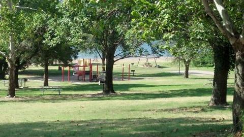
The park contains a boat ramp, dock, playground, swimming beach and a one-mile nature trail.
Facilities
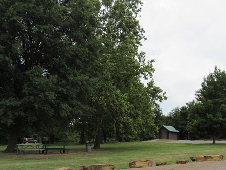
This well-shaded campground is separated into three loops with a total of 41 reservable campsites, many with water and electric hookups. Flush and pit toilets, showers, drinking water and a dump station are provided.
Natural Features
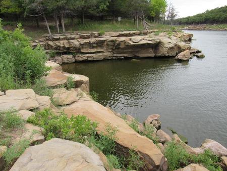
Keystone Lake is settled into many small valleys and contains almost 26,000 surface acres. Its 330 miles of shoreline are covered with bottomland timber and post oak, blackjack oak and prairie fields, which provide habitat for a variety of wildlife, including squirrel, rabbit, quail, dove and waterfowl.
Nearby Attractions
The 400-acre Appalachia Bay Recreation Area, locally referred to as Motorcycle Island, is just 10 minutes from the campground and is popular with off-road vehicle enthusiasts. Sandy trails crisscross the area’s beaches and wooded sections. Whitewater Park is an 80-acre off-road vehicle area next to the dam, about 15 minutes from the campground.