
Directions
From St. Louis: take I-55 South to Highway 67. Head south to D Highway. Take D Highway South for about 15 miles and look for signs.
From Poplar Bluff: Take Hwy 60 East to Highway T. Then take Highway T North and look for signs.
Phone
573-222-8234
Activities
BIKING, BOATING, CAMPING, FISHING, PICNICKING, DAY USE AREA, SWIMMING SITE, SWIMMING, WATER ACCESS
Keywords
PECR,PEOPLE’S CREEK BEACH,PEOPLE’S CREEK GROUP,WAPPAPELLO LAKE,PEOPLE’S CREEK CAMPGROUND,WAPPAPELLO LAKE
Related Link(s)
Missouri State Road Conditions
Overview
People’s Creek Recreation Area, located in the southeastern Ozark foothills of Missouri, is a great launchpad for boating, fishing, swimming, hiking or simply exploring the Wappapello Lake area.
Completed in 1941, Wappapello Lake provides an estimated $3.9 million in annual flood protection to agricultural lands and developed areas along the St. Francis River.
Click here to take a virtual tour of the facilities at Wappapello Lake.
Recreation
People’s Creek is ideally suited for swimming and boating activities. The lake is home to some of Missouri’s most sought after game fish, including largemouth bass, crappie, bluegill, white bass and channel catfish.
Facilities
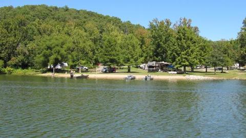
The day-use portion of People’s Creek includes a two-lane boat ramp with loading dock, an accessible fishing pier, swimming beach and large picnic shelter.
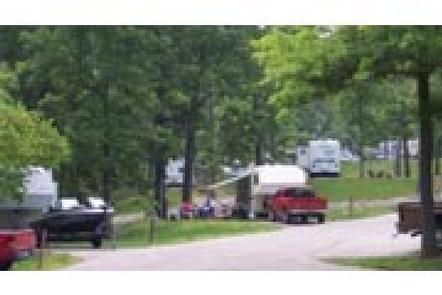
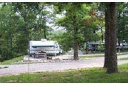
The campground portion has an upper and lower campground. The lower area offers 38 sites with 50-amp electric and water hookups. The upper area has 19 full-service campsites with 50-amp electric, water and sewer hookups.
Natural Features
Wappapello Lake stretches 8,400 acres on 45,000 acres of public land. Lightly wooded shorelines add shade to the scenic landscape.
Nearby Attractions
Explore Lake Wappapello State Park or hike the 33-mile Ozark Trail, which begins just south of Sam A. Baker State Park and winds along the west side of the St. Francis River and Wappapello Lake.