HORSE CREEK, CA Campground Reservation, Info, Images, Map, Directions

HORSE CREEK, California Campground Images, Info & Reservations

Directions

From Visalia, CA, take HWY 198 for 20 miles east. Follow signs to Horse Creek Campground.

Phone

559-597-2301

Activities

BIKING, BOATING, CAMPING, FISHING, HIKING, HORSEBACK RIDING, VISITOR CENTER, DAY USE AREA, INFORMATION SITE, PHOTOGRAPHY, SWIMMING, BIRDING

Keywords

HCRE,LAKE KAWEAH CAMPGROUND,KAWEAH LAKE CAMPGROUND,KAWEAH CAMPGROUND,HORSE CREEK Lake Kaweah,LAKE KAWEAH

Related Link(s)

Rec Area Info & Images

California State Road Conditions

California State Tourism

Overview

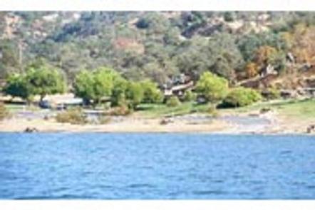
Horse Creek Campground is located on the Kaweah River in the foothills of central California’s Sierra Nevada Mountains. The Terminus Dam on Kaweah Lake is three miles east of Lemon Cove, CA.

Recreation

Kaweah Lake offers boating, water skiing and sailing. Horse and walking trails are available during low water. Anglers can fish for largemouth bass, crappie, bluegill, catfish and rainbow trout.

Facilities

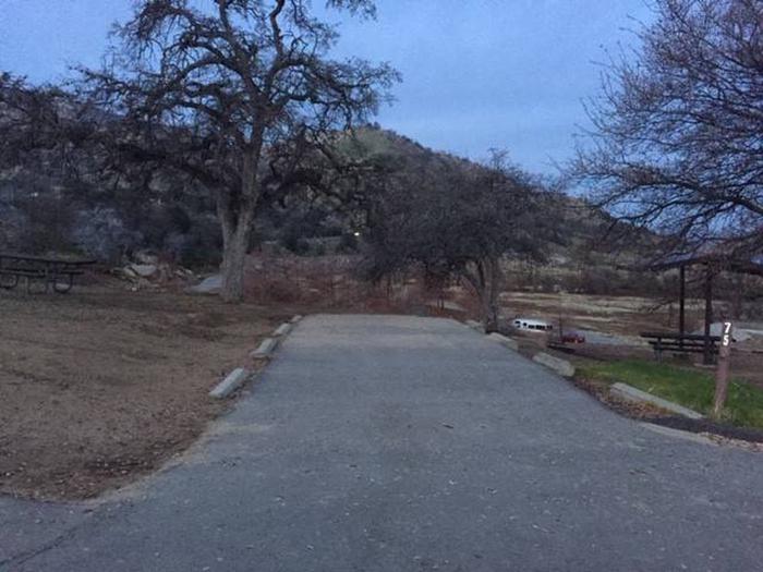
The campground contains 80 sites without hookups. Amenities include flush toilets, showers and a dump station. Weekend programs are held May through September in the campground’s amphitheater.

Natural Features

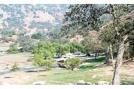
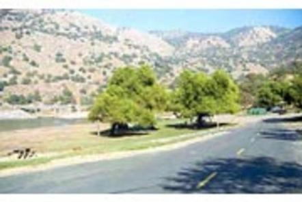
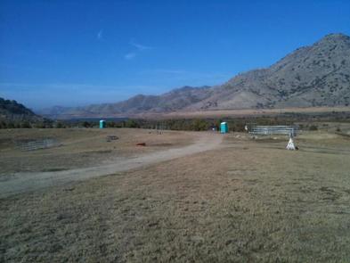
The campground is settled on the river in a broad, arid valley with few trees. Shade is limited.

Nearby Attractions

The campground is 10 miles from Sequoia National Park. Visitors enjoy viewing the inspiring Giant Forest Grove and mighty General Sherman Tree – the world’s largest tree in volume.

Reservation

More from CampingHiking.net:

ANGEL CREEK, Nevada Campground Images, Info & Reservations

Directions Take Interstate 80 to the West Wells exit. Turn south on Angel Lake Road (State Route 231) and travel 8 miles to Angel Creek. Turn left and follow the road for one mile to the campground. Phone 775-752-3357 Activities BOATING, CAMPING, FISHING, HIKING, HORSEBACK RIDING, WILDLIFE VIEWING Keywords ANGC,RUBY

DIAMOND BUTTE LOOKOUT, Montana Campground Images, Info & Reservations

Directions From Ashland, Montana: travel east on State Highway 212 for approximately 3 miles. Turn south onto Otter Creek Road hwy 484 and travel 20 miles. Just past the Fort Howes Work Center, turn east onto Taylor Creek Road and travel 12 miles to Sonnette Divide Road. Turn north onto

LID CREEK CAMPGROUND, Montana Campground Images, Info & Reservations

Directions Lid Creek Campground is located 15 miles south of Hungry Horse, Montana, on the West Side Reservoir Road 895. To find the West Side Reservoir Road, turn off of Highway 2 just past milepost 144. Take the paved West Side Reservoir Road across the Hungry Horse Dam and continue

NARROWS CAMPGROUND, Wyoming Campground Images, Info & Reservations

Directions From Pinedale, take U.S. Highway 191 northwest for 6 miles. Turn north onto State Highway 352 and travel just over 14 miles. Turn east onto New Fork Lake Road, which is gravel, and travel 5 miles to the campground. Though the road is suitable for two wheel drive vehicles