OUTLET(MELVERN), KS Campground Reservation, Info, Images, Map, Directions

OUTLET(MELVERN), Kansas Campground Images, Info & Reservations

Directions

From US-75, take the Melvern exit. Turn west onto Melvern Lake Parkway and continue 1/4 mile to the cut-off road, then another 1/4-mile west to River Pond Parkway and follow into the campground.

Phone

785-549-3318

Activities

BOATING, CAMPING, FISHING, HIKING, DAY USE AREA

Keywords

OULT,MELVERN LAKE,MELVERN PROJECT,MELVERN STATE LAKE,OUTLET MELVERN,MELVERN LAKE

Related Link(s)

Rec Area Info & Images

Kansas State Tourism

Kansas State Road Conditions

Overview

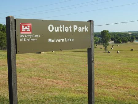
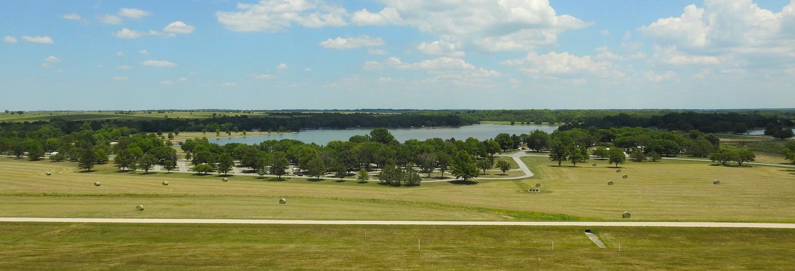
Outlet Campground is situated below the Melvern Lake Dam on the eastern edge of the Flint Hills of Kansas. Visitors enjoy the area’s wide range of recreational activities, including boating, fishing, hiking and hunting. Find a virtual tour of Melvern Lake at http://www.photographyoptions.net/images/melvern/tour.html

Recreation

Melvern Lake impounds nearly 7,000 acres of water on the upper reaches of the Marais des Cygnes River Valley. Boating and swimming are popular activities on the lake.

Anglers will find walleye, crappie, channel and flathead catfish, as well as black, striped, white and smallmouth bass.

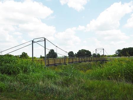
The 18,000 acres of land surrounding Melvern Lake provide plentiful hiking and hunting opportunities. Several trails wind around the lake, including the 4-mile Tallgrass Heritage Trail, which begins in the campground. Hunters may find deer, quail, turkeys, ducks, rabbits and squirrels throughout the area.

Facilities

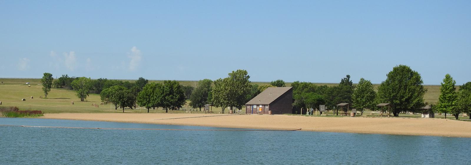
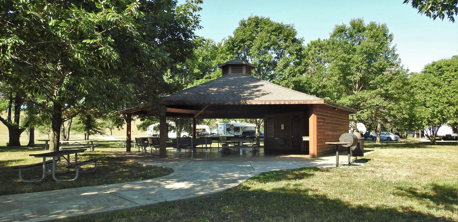
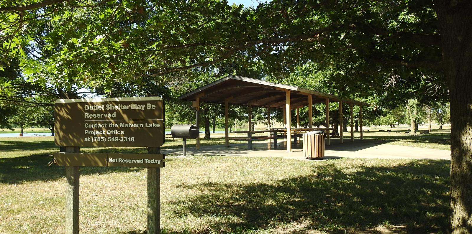
This large campground offers 140 family sites, many of which have full hookups for electric, water and sewer. Two group day-use picnic shelters with electrical hookups are available as well. Several family picnic sites can be used on a first come, first served basis. Amenities include flush and vault toilets, showers, drinking water and a dump station. A boat ramp, accessible dock and fish cleaning station are located on-site. Younger campers love the park’s swimming beach, playground and stocked fishing pond, which is open year-round. Click Here for a Virtual Tour (http://www.photographyoptions.net/images/melvern/tour.html)

Natural Features

The Flint Hills represent America’s last expanse of intact tallgrass prairie, made up of big bluestem, switchgrass and Indian grass. The rolling hills on the south side of the lake are wooded, and the campground has scattered trees and limited shade.

Reservation

More from CampingHiking.net:

FORT HAMBY PARK, North Carolina Campground Images, Info & Reservations

Directions From Winston-Salem, North Carolina, take Highway 421 North (approximately 61 miles) and turn left onto S. Recreation Road. Continue for approximately 1.5 miles. Campground entrance is located at the end of the road. From Charlotte, North Carolina, take I-77 North (approximately 60 miles) before merging onto Highway 421 North

Trapper Creek Campground, Oregon Campground Images, Info & Reservations

Directions From I-5 take exit 188A, heading west on Highway 58 for 62.4 miles, then continue 1.9 miles south on Road 5810 to the campground. Phone 541-323-1746 Activities BIKING, BOATING, CAMPING, FISHING, HIKING, WATER SPORTS, SWIMMING SITE Keywords TRPC,Trapper,Trap,Shelter Cove,Odell,Trapper Creek,Trapper Creek Campground Related Link(s) Rec Area Info & Images

CRANE VALLEY, California Campground Images, Info & Reservations

Directions From Fresno, California, take Highway 41 north through Oakhurst. Turn right on Forest Road 222, towards Bass Lake. Keep right for 3.5 miles to the campground. Phone 559-642-3212 Activities BOATING, CAMPING, INTERPRETIVE PROGRAMS, FISHING, HIKING, WATER SPORTS, SWIMMING SITE Keywords CRVA,BASS LAKE OAKHURST AR,SIERRA NF – FS Related Link(s)

DIAMOND BUTTE LOOKOUT, Montana Campground Images, Info & Reservations

Directions From Ashland, Montana: travel east on State Highway 212 for approximately 3 miles. Turn south onto Otter Creek Road hwy 484 and travel 20 miles. Just past the Fort Howes Work Center, turn east onto Taylor Creek Road and travel 12 miles to Sonnette Divide Road. Turn north onto

FREMONT POINT CABIN, Oregon Campground Images, Info & Reservations

Directions Summer Travel: From the Paisley Ranger District Office in Paisley, Oregon: Travel north on State Route 31 for 34.2 miles, between mile posts 64 and 65, turn left (west) onto the graveled Forest Service Road (FSR) 2901. Follow FSR 2901 for 16.1 miles. Turn left (east) on FSR 034