BERRY BEND EQUESTRIAN, MO Campground Reservation, Info, Images, Map, Directions

BERRY BEND EQUESTRIAN, Missouri Campground Images, Info & Reservations

Directions

From Z Highway, travel approximately 2 miles south on the Berry Bend Access Road.

Phone

660-438-7317

Activities

BOATING, CAMPING, FISHING, HIKING, HORSEBACK RIDING, FISH HATCHERY

Keywords

BERE,TRUMAN LAKE,BERRY BEND NORTH,HARRY S TRUMAN

Related Link(s)

Rec Area Info & Images

Missouri State Road Conditions

Missouri State Tourism

Overview

BERRY BEND EQUESTRIAN CAMPGROUND HAS BEEN CLOSED. DAY RIDERS MAY STILL USE THE SHELTER #1 PARKING LOT TO ACCESS THE TRAILS.

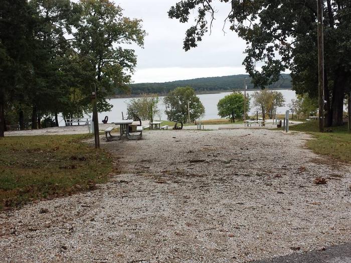
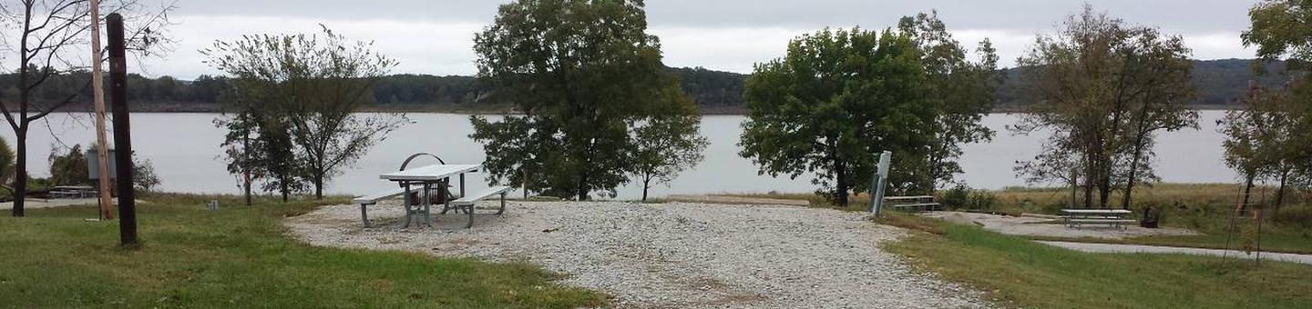
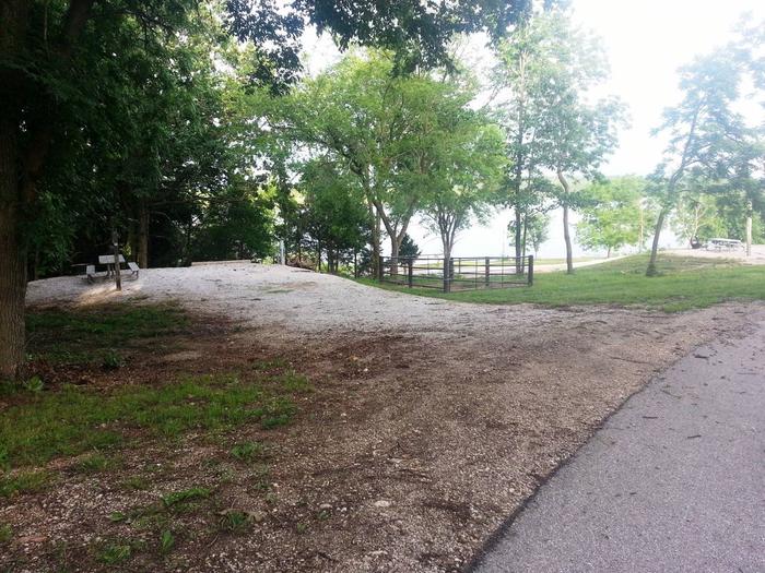
Berry Bend Campground sits on the shores of Harry S. Truman Lake in the hills of western Missouri.

Visitors enjoy fishing, hunting, swimming and boating. Click here for the Harry S. Truman Lake virtual tour.

Recreation

The equestrian campground is no longer available. Day riders may continue using the trails by parking at Shelter #1. 

Equestrians will find nearly 26 miles of developed trails to explore at Truman Lake. Berry Bend boasts the most extensive trail system in the region, and riders have several options for trips of varying lengths. The Park Trail is a 2.5 mile trail that can be used by beginner level riders and offers a short trip for visitors. The West Trail traverses many steep ridges and valleys and is a challenge to both horse and rider. The East Trail is somewhat more level and overlooks the lake in several areas. Hiking is also allowed on these trails.

Berry Bend Area is an excellent fishing location. Anglers find crappie, largemouth bass and blue and flathead catfish. Truman Lake is also a popular destination for tournament fishermen.

Facilities

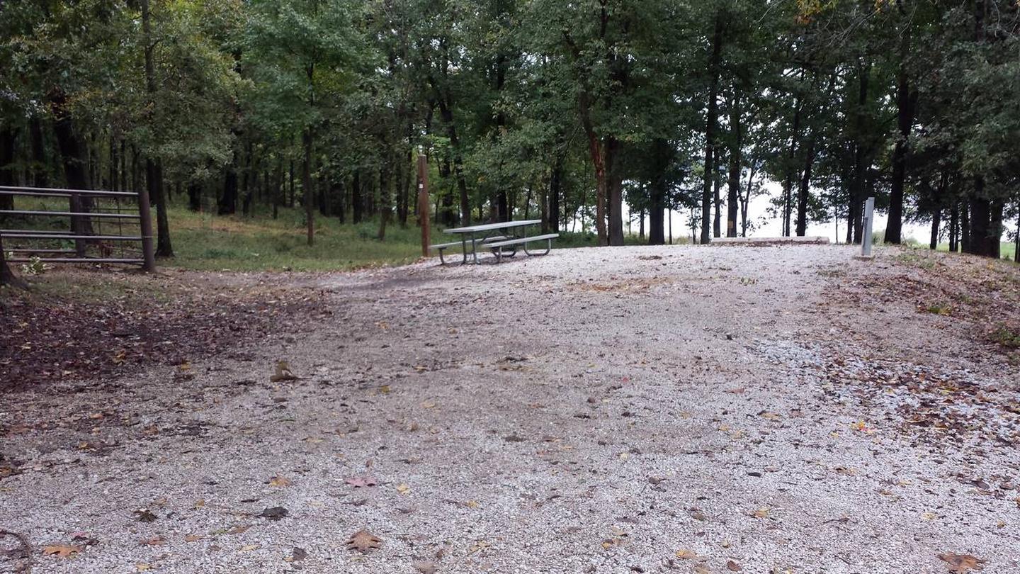
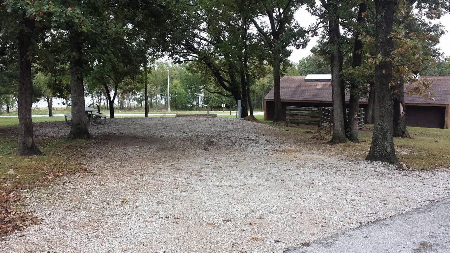
Two group day-use picnic shelters are available. Amenities include pit toilets, hitching posts, and drinking water.
  

Natural Features

Truman Lake lies among rolling hills and rocky bluffs. Dense hardwood forests studded with mature pine trees cover the area.

Nearby Attractions

The 950 miles of shoreline around Truman Lake provide plentiful opportunities for fun in the outdoors. Many parks surround the lake, including Harry S. Truman State Park.

The Harry S. Truman Visitor Center sits atop Kaysinger Bluff and provides a spectacular view of the dam and reservoir. Exhibits provide information about the rich history of the Osage River Valley from pre-civilization to modern day. Waterfowl, bald eagles and turkey vultures are commonly seen from the observation deck.

Reservation

More from CampingHiking.net:

LAKE THREE, Wisconsin Campground Images, Info & Reservations

Directions 34412 Mineral Lake Rd. (FR 198) From Mellen, Wisconsin; Take County Highway GG west for about 8 miles. Turn right onto Forest Service Road 187/Mineral Lake Road and continue for 3 miles to the intersection with Forest Service Road 198/Pine Stump Corner. Turn right and continue less than a

BOCA REST CAMPGROUND, California Campground Images, Info & Reservations

Directions From Reno, take I-80 west to the Hirschdale Exit. Drive north on Hirschdale Road approximately 3 miles to the campground. From Truckee, take I-80 west 10 miles to the Hirschdale Exit. Drive north on Hirschdale Road approximately 3 miles to the campground. Phone (530)587-3558. FOR RESERVATIONS, PLEASE CALL: 1

MOSER ISLAND CABIN, Alaska Campground Images, Info & Reservations

Directions Accessible year round, weather permitting. Located 48 air miles north of Sitka, within Hoonah Sound on the north end of Moser Island, north of Peril Strait. Access from Sitka is 30 minutes by floatplane, or 2 hours by boat. For geographic features surrounding the cabin, refer to USGS topographic

White Earth Campground, Montana Campground Images, Info & Reservations

Directions Heading north along MT highway 12/287 from Townsend. Drive north to the town of Winston, MT, and turn right onto Beaver Creek Road and follow the road 5.5 miles to the campground. Phone 406-475-3921 Activities BOATING, CAMPING, FISHING, WATER SPORTS, WILDLIFE VIEWING, MOTOR BOAT, KAYAKING Keywords White Earth Shelter,WHITE

MAGEE RANGERS CABIN, Idaho Campground Images, Info & Reservations

Directions Access #1: From I-90, take Exit #43 (Kingston) and drive 24 miles north on Forest Highway 9 (two lane paved highway) to the Prichard Junction. Continue on Forest Road 208 for 28 miles to the end of the pavement and the start of Forest Road 6310 (a gravel road

Dunewood Campground, Indiana Campground Images, Info & Reservations

Directions Please use this link to get to the directions page on our website. https://www.nps.gov/indu/planyourvisit/directions.htm Phone 219-395-1882 Activities BIKING, BOATING, CAMPING, INTERPRETIVE PROGRAMS, FISHING, HIKING, PICNICKING, VISITOR CENTER, WILDLIFE VIEWING, SWIMMING SITE, INFORMATION SITE, ENVIRONMENTAL EDUCATION, PHOTOGRAPHY, SWIMMING, KAYAKING, CANOEING, BEACHCOMBING, BIRDING, WATER ACCESS, EVENING PROGRAMS, GUIDED INTERPRETIVE WALKS, RECREATION