
Directions
From Baldwin, turn west on 7th Street, then left onto Cherry Street. Take the first right, W 52nd Street, and drive 5 miles. Look for signs into the campground.
Phone
231-745-8760
Activities
CAMPING, FISHING, WATER ACTIVITIES
Keywords
BOWM,HURON-MANISTEE NF -FS,BOWMAN’S BRIDGE
Related Link(s)
Michigan State Road Conditions
Overview
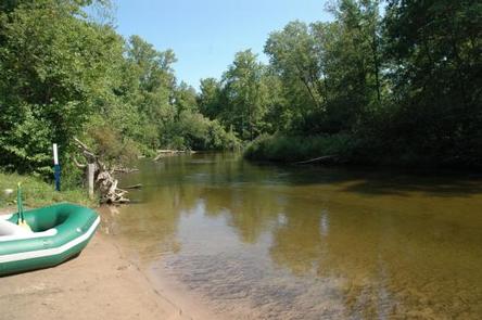
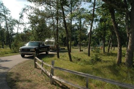
Bowman Bridge Campground is perfect for true nature immersion. Campers come here for easy access to the Pere Marquette National Scenic River and for the delightful views of the great outdoors.
Recreation
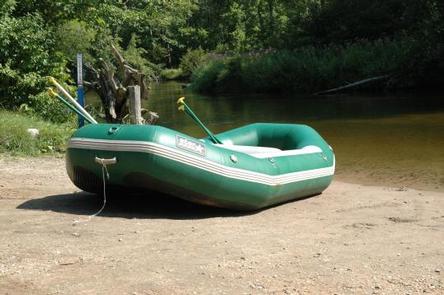
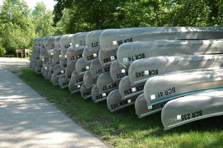
The top three activities for campers at Bowman Bridge are canoeing, fishing and hiking. Anglers cast for brown trout, salmon, steelhead and rainbow trout.
Watercraft rentals are available at two nearby liveries in Baldwin. A permit is required to float the river from the Friday of Memorial Day weekend through Monday of Labor Day weekend. Watercraft hours during the permit season are 9 a.m. to 6 p.m.
Hikers can head up the campground’s connector trail to the North Country National Scenic Trail. This "north country" trail weaves through many scenic, historic and cultural areas across seven states, measuring 4,600 miles end-to-end.
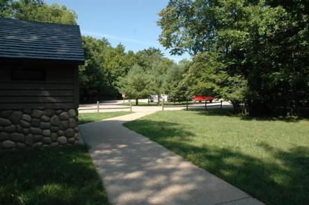
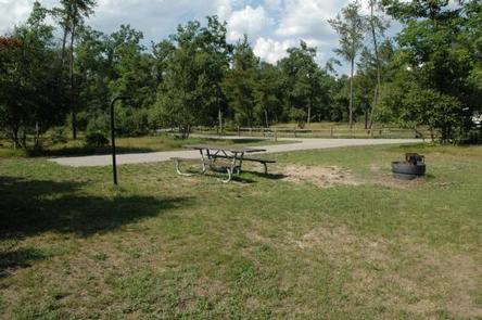
Facilities
Campsites are in a wooded setting, but due to a tornado that passed through in 2005, tall trees and shade are less dense than in neighboring campgrounds.
The campground has a single loop 16 paved family campsites. There are also 4 walk-in family campsites and 4 tent-only group sites that can accommodate up to 20 people each.
Natural Features
The campground is situated along the Pere Marquette National Scenic River, a 66-mile stretch of clear, unspoiled waters within the Huron-Manistee National Forests in Michigan. Large blocks of public land offering opportunities for hiking, birdwatching, photography, and hunting can be found in the surrounding area.
Nearby Attractions
Visitors enjoy exploring the extent of the Pere Marquette National Scenic River. Other nearby attractions include the Bowman Lake Foot Travel Area and the historic community of Idlewild.