
Directions
From Oroville, California, travel east on Oro Dam Boulevard to Highway 162/Olive Highway. Continue on Highway 162/Olive Highway for 5 miles to Forbestown Road. Turn right and go 16 miles to La Porte Road. Turn left and travel 27 miles to La Porte, then 2 miles to signs for the recreation area. Turn right and continue just over 3 miles to the campground.
Phone
530-534-6500
Activities
BIKING, BOATING, CAMPING, FISHING, HIKING, WATER SPORTS, SWIMMING SITE
Keywords
HOSE,LITTLE GRASS VALLEY LAKE,PLUMAS NF – FS
Related Link(s)
California State Road Conditions
Overview
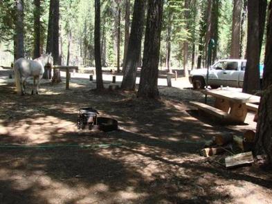
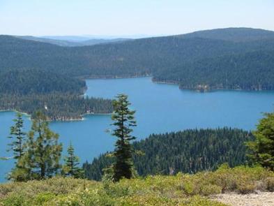
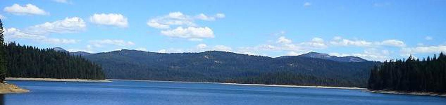
Horse Camp is located on the eastern shore of the Little Grass Valley Reservoir, giving visitors ample opportunity to fish, swim, boat and enjoy nature.
The camp is one of eight campgrounds in the area, but the only one equipped to handle equestrian campers. It provides access to a beautiful, adjacent mountain lake and various hiking, mountain biking and horseback riding trails that meander through the scenic hills and valleys.
Recreation
The 1,615-acre lake provides ample opportunities for visitors to fish, boat, swim and water ski. Anglers can expect a catch of a variety of trout and kokanee salmon, among other species of fish, however, fishing licenses are required to participate.
The Lakeshore Trail, which loops 14.5 miles around the lake, is available for hiking, mountain biking and horseback riding. The trail connects to the Pacific Crest National Scenic Trail, which stretches from 2,650 miles from Canada to Mexico, across three states. A variety of day hikes can be done on portions of the trail.
Facilities
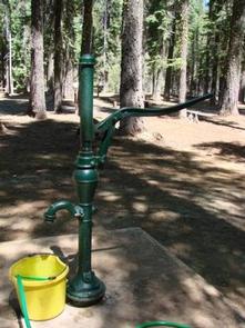
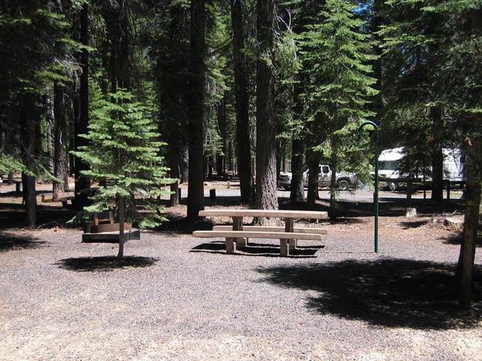
The campground offers 10, single-family equestrian campsites, available for tent and RV camping. Eight of these sites are available to reserve online. Hookups are not available and the parking surfaces are gravel. Lantern posts and hitching posts are provided at each site. Each site is also equipped with a table and a campfire ring with a grill. Accessible vault toilets are provided. An on-site host may be available.
Natural Features
The campground is located in the Northern Sierra Nevada Mountains, in northern California, at an elevation of about 5,060 feet. It is on the eastern shore of the Little Grass Valley Reservoir, which was formed by flooding in the 1960s. The campground and the lake are surrounded by thick stands of pine and fir trees. There are several campgrounds located around the lake as well as cabins on the south side. The campground is also the center of a popular snowmobiling area during winter months.
Nearby Attractions
About 12 miles northeast of the lake at an elevation of 5,446 feet lies a small, natural lily pond, called Fowler Lake. This beautiful site is perfect for day hikes and picnics.