BEAVER LAKE, WI Campground Reservation, Info, Images, Map, Directions

BEAVER LAKE, Wisconsin Campground Images, Info & Reservations

Directions

61324 Beaver Lake Rd. (FR 199)

From Mellen, Wisconsin, take County Highway GG west for about 8 miles. Turn right onto Forest Service Road 187/Mineral Lake Road and follow it about 3 miles to the intersection with Forest Service Road 198/Pine Stump Corner. Continue straight onto Forest Service Road 198 for about 2 miles, then turn right at the campground sign.

Phone

(715) 634-4821 OR (715) 264-2511

Activities

BIKING, BOATING, CAMPING, FISHING, HIKING

Keywords

BEAV,CHEQUAMEGON-NICOLET NF – FS

Related Link(s)

Rec Area Info & Images

Overview

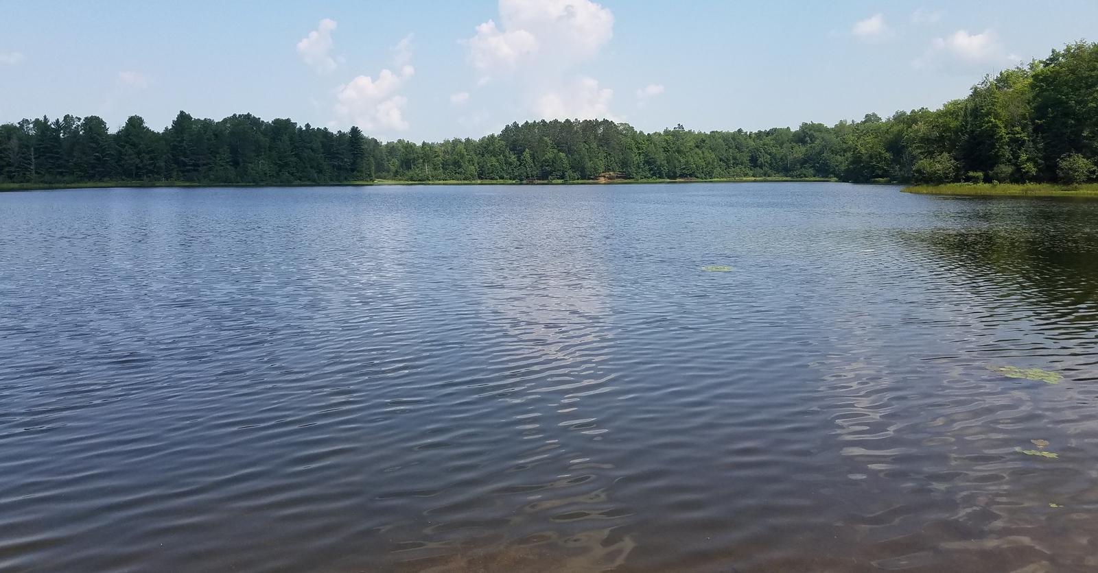
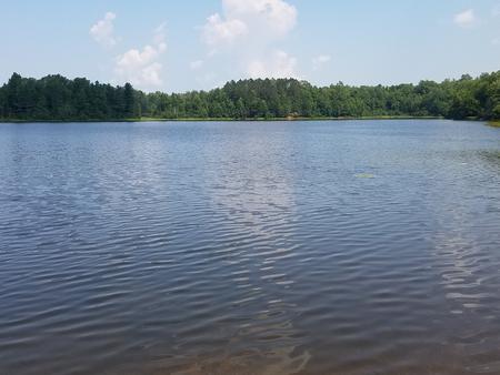
Beaver Lake Campground is a small, secluded, family-friendly campground located on the shores of its namesake lake. The waterfront sites provide spectacular scenic views of the area and its location gives visitors access to several popular areas of the Chequamegon National Forest.

Recreation

In addition to the boating and fishing opportunities offered at the lake, a number of day hikes can be accessed from the campground. A short trail connects the campground to the North Country National Scenic Trail, which traverses through Chequamegon National Forest as it makes its way from New York to North Dakota.

The surrounding area offers many miles of off-road vehicle, hiking and mountain biking trails, along with several lakes and rivers to wet a line or launch a boat. Springbrook, a Class 1 brook trout stream, is nearby, and is a popular spot for anglers.

Facilities

The campground offers less than a dozen single-family campsites for tent and RV camping. Each site is equipped with tables and campfire rings with grills. Accessible vault toilets and drinking water are provided. Trash collection and recycling bins are also available.

Natural Features

Beaver Lake sits in northwestern Wisconsin, in a forest of maple, birch and red pine trees. The lake is a perfect spot to kayak, canoe, swim or enjoy a leisurely boat ride. A boat ramp is located about a half-mile from the campground.

Nearby Attractions

Morgan Falls, St. Peter’s Dome and the Penokee overlook are all just a short drive from the campground.

Reservation

More from CampingHiking.net:

CANEY CREEK, Oklahoma Campground Images, Info & Reservations

Directions From Hwy 32 in Kingston, OK, take Donahoo Road south. Follow signs 6 miles on paved access road to the campground. Phone 580-564-2632 Activities CAMPING, HIKING Keywords CAEK,TEXOMA LAKE,TEXOMA LAKE Related Link(s) Rec Area Info & Images Oklahoma State Tourism Oklahoma State Road Conditions Overview Caney Creek Campground is

CALPINE LOOKOUT, California Campground Images, Info & Reservations

Directions From Sierraville, the lookout is approximately 10 miles north on State Highway 89. Renters will be given a renters packet after check-in with the best access or parking based on current weather conditions. During the winter months, access is by snowshoes, skiis or snowmobiles on a 2 mile trail

FALL RIVER GUARD STATION, Oregon Campground Images, Info & Reservations

Directions Entry to the cabin is by combination lock box. Please call the Forest Service office at 541-383-5300 if you are having difficulty with the combination provided. You can also stop by the office, located at 63095 Deschutes Market Rd. Bend, OR 97701. From Bend, Oregon, take Highway 97 south.

Susan Creek Campground, Oregon Campground Images, Info & Reservations

Directions The campground is located just past milepost 28 on Highway 138. Phone 541-440-4930 Activities BIKING, CAMPING, FISHING, HIKING, HORSEBACK RIDING, DAY USE AREA Keywords Related Link(s) Rec Area Info & Images Oregon State Tourism Oregon State Road Conditions Overview Susan Creek Campground is well known for its beautiful setting

NORTH SHORE PICNIC AREA, Idaho Campground Images, Info & Reservations

Directions From Stanley, Idaho, take State Highway 75 south for 4 miles. Turn west onto Forest Road 214 at the Redfish Lake sign and travel approximately 2 miles. Turn right at the North Shore Picnic Area entrance sign. Phone 928-537-8888 Activities BIKING, BOATING, CAMPING, FISHING, HIKING, HORSEBACK RIDING, WATER SPORTS,

Axolotl Cabin, Montana Campground Images, Info & Reservations

Directions From Ennis – Most Direct Route – 4 WD/High Clearance Vehicle Strongly Recommended -Take State Highway 287 towards Virginia City – About 1/4 mile east of mile marker 11 (or 3/4 mile west of mile marker 10) turn South into the paved parking area near the top of Virginia