NORTH DICKEY LAKE, MT Campground Reservation, Info, Images, Map, Directions

NORTH DICKEY LAKE, Montana Campground Images, Info & Reservations

Directions

From Eureka, travel south on Highway 93 for approximately 13 miles to Fortine. Continue south on Highway 93 for over a mile to the campground.

Phone

406-296-2536

Activities

BIKING, BOATING, CAMPING, FISHING, HIKING, WATER SPORTS, SWIMMING SITE

Keywords

NODI,DICKEY LAKE,KOOTENAI NF – FS

Related Link(s)

Rec Area Info & Images

Montana State Tourism

Montana State Road Conditions

Overview

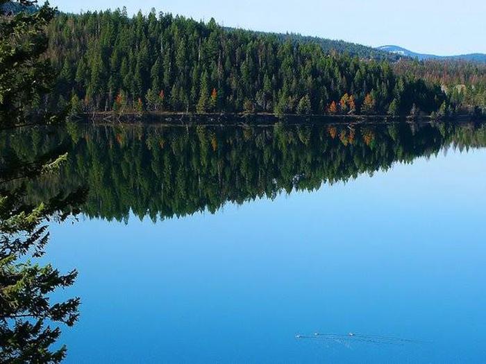
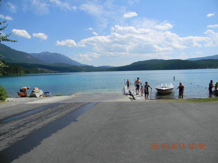
North Dickey Lake Campground is a beautiful campground next to scenic Dickey Lake and several hiking and mountain biking trails. It’s conveniently located off the main highway and provides a secluded location for outdoor enjoyment. A day use area is located at South Dickey Day use area, on the opposite side of the lake.

Recreation

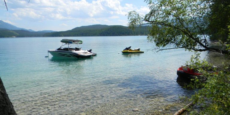
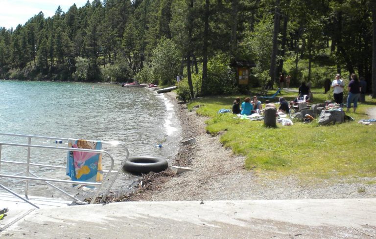
The adjacent lake provides ample opportunity for boating, fishing, swimming and water skiing. Anglers can expect a catch of kokanee salmon, kamloop and rainbow trout. A grassy beach is also available at South Dickey Day Use area, a popular swimming area on the lake.

A variety of hiking trails begin in the area, including the accessible, half-mile Dickey Lake Overlook Trail, which is also open to mountain biking. It leads to a viewing platform with nice views of the lake. Another trail heads from the campground to Mt. Marston.

Educational programs are offered throughout the summer. A general store, with fuel and groceries, is located about 3 miles to the north and a small restaurant and coffee shop are located about 2 miles to the west of the campground.

Facilities

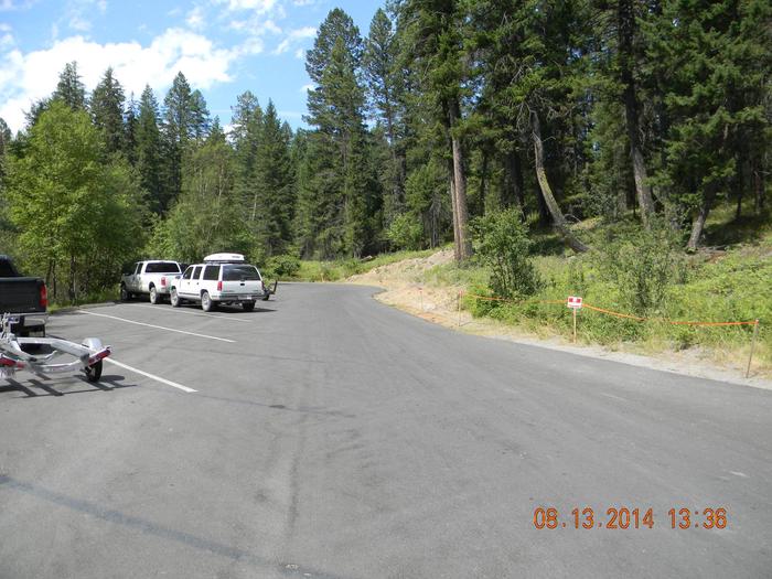
The campground offers 24 sites for tent and RV camping, but only five (5) sites can be reserved. The rest are available on a first-come, first-served basis. Each site is equipped with a table and campfire ring with grill. Accessible vault toilets and drinking water are provided, but utility hookups are not available. Parking surfaces are gravel.

A dump station is available just north of Eureka on Highway 93, behind a gas station.

Natural Features

The campground is located in northwestern Montana on a hillside next to the 800-acre lake. It is nestled in a forest of larch and fir trees at an elevation of about 3,100 feet.

In the spring and early summer, the sound of the loon can often be heard from the campground.

Nearby Attractions

The campground is 20 miles from the United States-Canadian border, and 65 miles from the entrance to Glacier National Park.

Reservation

More from CampingHiking.net:

KNUTSON DAM, Minnesota Campground Images, Info & Reservations

Directions The campground is located 6 miles east of Cass Lake on U.S. Highway 2, and 5 miles north on County Road 10. Phone 218-835-4291 Activities BOATING, CAMPING, FISHING, WATER SPORTS, WILDLIFE VIEWING, SWIMMING SITE Keywords KDam,Knutson Related Link(s) Rec Area Info & Images Minnesota State Road Conditions Minnesota State

CURTIS CREEK, Kansas Campground Images, Info & Reservations

Directions Take I-70 to the 290 exit and proceed north 5 miles to 837. Continue west on 837 for 6 miles to reach the park entrance. Phone 785-238-5714 Activities CAMPING Keywords CURC,MILFORD LAKE,MILFORD LAKE Related Link(s) Rec Area Info & Images Kansas State Tourism Kansas State Road Conditions Overview Curtis

NORTH SANDUSKY CAMPGROUND, Illinois Campground Images, Info & Reservations

Directions From I-57 take exit 77 and turn west on Route 154. After 4.5 miles turn south onto Rend City Road. Continue through the four-way stop and follow signs to the campground. Phone 618-724-2493 Activities BOATING, CAMPING, FISHING, SWIMMING SITE Keywords NSAN,REND LAKE,NORTH SANDUSKY,THE SANDUSKYS,PINTAIL,RINGNECK,WOODUCK,SHAGBARK,MAPLE,SWEETGUM,HICKORY,WHITE OAK,DUCK LOOPS,BY COY & WILMA’S

JUNIPER LAKE STOCK CORRAL, California Campground Images, Info & Reservations

Directions From Red Bluff I-5, drive east on State Highway 36 approximately 70 miles to Chester. Turn left at the fire station immediately after crossing Feather River Bridge (watch for National Park Service sign on right) and continue approximately 13 miles following signs to Juniper Lake. The Juniper Lake Stock

SOUTH DICKEY LAKE, Montana Campground Images, Info & Reservations

Directions From Eureka travel South on Hwy 93 for approximately 20 miles. Take a left on Lake Shore road 3788 and follow for 2 miles to the day use site. Phone 406-296-2536 Activities BOATING, CAMPING, FISHING, SWIMMING SITE Keywords SODI,SOUTH,DICKEY,LAKE,KOOTENAI NF – FS Related Link(s) Rec Area Info & Images