
Directions
From Medford, Wisconsin, travel north on State Highway 13 for 4 miles. Turn left onto County Road M and continue for about 24 miles then turn left onto Forest Road 1417.
Phone
715-748-4875
Activities
BOATING, CAMPING, FISHING, HIKING, SWIMMING SITE
Keywords
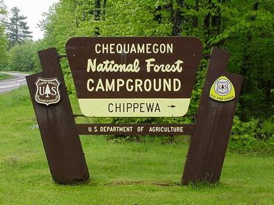
CHIP,MILLER DAM,MONDO DAM,CHEQUAMEGON-NICOLET NF – FS
Related Link(s)
Wisconsin State Road Conditions
Overview
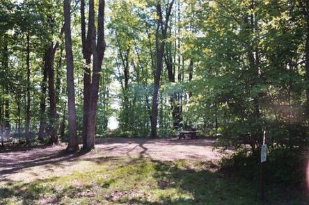
Chippewa Campground sits on the eastern shores of the Chequamegon Waters Flowage, where the bass fishing is spectacular. Its location provides visitors of any age with access to a variety of recreation opportunities, including fishing, water sports, hiking and more. Chippewa Campground offers 78 campsties, 28 o f which can be reserved.
Recreation
The campground offers two swimming beaches, a playground and a hiking trail that can be accessed from the campground.
Boating and fishing are popular activities on the lake, and a boat ramp is available. Anglers can expect to find plentiful populations of largemouth bass, pike and bluegill, among other species. Fish cleaning stations are available in the campground.
The 20-mile Perkinstown Motorized Trail is a two-way trail, developed for off-road vehicles and motorcycles as well as hikers of all abilities and experience levels. It is also popular for snowmobiling during the winter months. The trail winds through rolling terrain, woodlands and wetlands as well as over wooden bridges. A great variety of wildlife and vegetation can be found along the trail.
Facilities
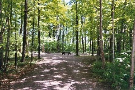
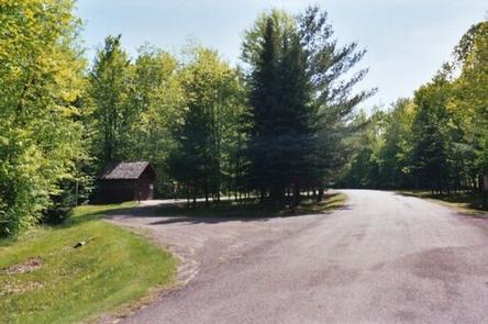
The campground offers dozens of single and double campsites for tent and RV camping. Utility hookups are not available, however, the campground is equipped with a dump station and the roads are paved.
Each site is equipped with tables and campfire rings with grills. Accessible flush toilets and showers are available in three loops of the campsites and accessible vault toilets are available in the other loop. Drinking water is provided throughout the campground.
Natural Features
The 1,020-foot elevation campground is situated in northwestern Wisconsin, adjacent to the 2,714-acre lake, under a heavy canopy of mixed hardwood and pine trees.