EBENEZER PARK, TX Campground Reservation, Info, Images, Map, Directions

EBENEZER PARK, Texas Campground Images, Info & Reservations

Directions

From Jasper, Texas, take US Highway 96 North approximately 12 miles to the intersection of Recreation Road 255. Go west on 255 approximately 8 miles to the park entrance road.

Phone

409-384-5716

Activities

BOATING, CAMPING, FISHING, HUNTING, WATER SPORTS, SWIMMING SITE

Keywords

EBEN,EBENEZER,SAM RAYBURN RESERVOIR

Related Link(s)

Rec Area Info & Images

Texas State Tourism

Texas State Road Conditions

Overview

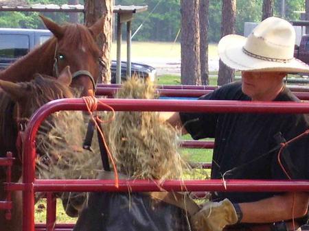
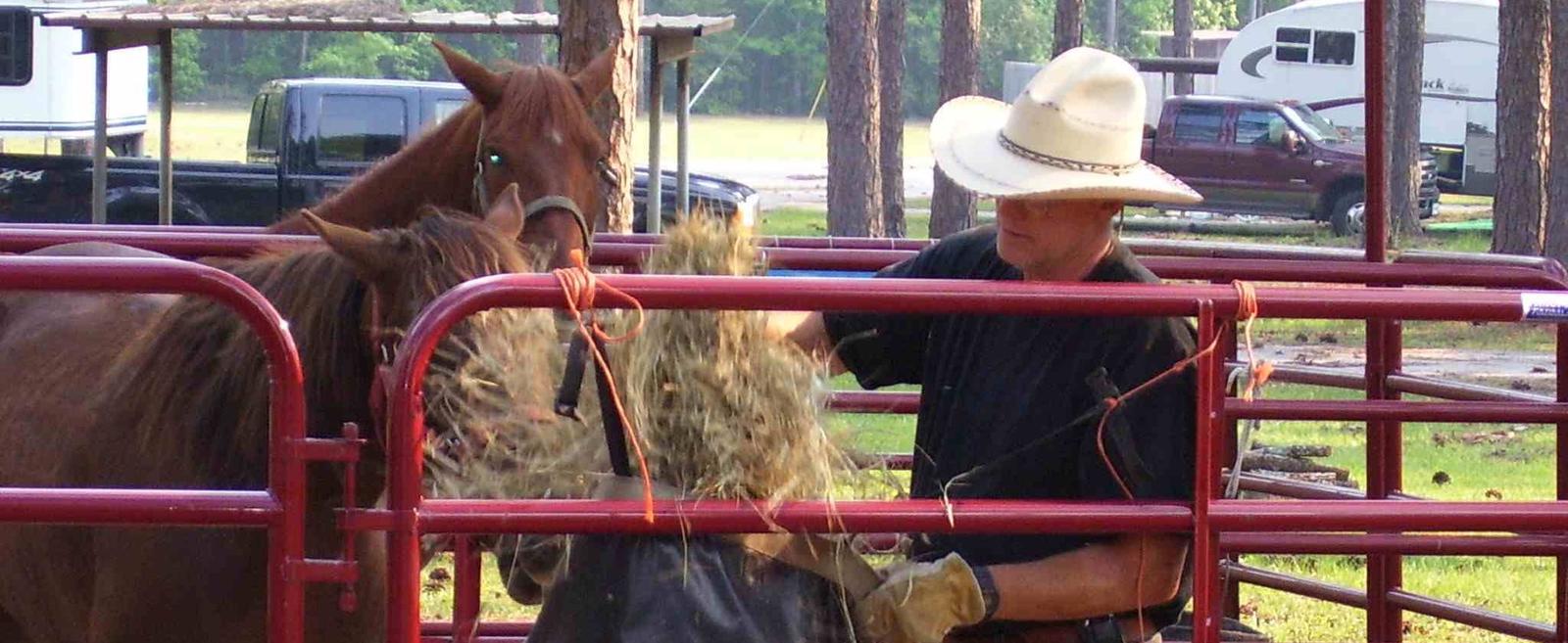
Ebenezer Park features some of the most beautiful horseback riding trails in southeast Texas. It’s the only Army Corps of Engineers park on Sam Rayburn Reservoir with equestrian campsites, making it the go-to destination for horse-owners. The horse trail terrain is soft and sandy, so horseshoes are not required. Trails glide over rolling hills through creeks and gullies. Some trails even have beach access, allowing riders and their horses to cool off on a hot day. Note: The horse access beach and majority of the trail system are located on USFS property.

Recreation

In addition to horseback riding, activities include fishing, picnicking and swimming. Birding is also rewarding, with chances to see resident wood ducks and migratory birds on their journey to and from the Gulf Coast.

Facilities

Ebenezer caters best to equestrian campers and tent campers. Equestrian sites have electric hookups and horse corrals near each site. Ebenezer Hall, an enclosed building with a full kitchen, A/C and heating, is available for reservation.

The park does not have a boat ramp, and the nearest boat ramp is four miles down at Twin Dikes Park.

Natural Features

The campground, near the Sam Rayburn Dam, is fully shaded by towering pine trees.

The lake is located deep in the woods, bordered by the Angelina National Forest and near the Sabine National Forest.

Nearby Attractions

The 20,700-acre Bannister Wildlife Management Area is on the northern peninsula of the lake. Here, hikers and bikers can explore the designated Eastern Wild Turkey restoration site.

Reservation

More from CampingHiking.net:

ANTONE CABIN, Montana Campground Images, Info & Reservations

Directions From Dillon, travel about 40 miles southeast on Forest Road 202 (Blacktail Creek Road), to Antone Station turnoff. Turn north onto Forest Road 325 and continue about 6 miles to the cabin. During winter months, snowmobiles may be required for the majority of the drive, depending on conditions. Call

INDIAN RIDGE LOOKOUT, Oregon Campground Images, Info & Reservations

Directions From Blue River, OR, travel 4 miles east on Highway 126 to Aufderheide Drive/Forest Service Road (FSR) 19. Continue south on Aufderheide Drive, taking a right at the Y and climbing to the top of Cougar Reservoir. Continue south on Aufderheide Drive past Cougar Reservoir 7 miles to FSR

WISH POOSH CAMPGROUND, Washington Campground Images, Info & Reservations

Directions From Seattle, take I-90 East to exit 80, then take a left on Bullfrog Road, then head north on County Road 903. The campground is on the left after approximately 8 miles. Phone 509-852-1100 Activities BIKING, BOATING, FISHING, PICNICKING, SWIMMING, KAYAKING Keywords WISH POOSH CAMPGROUND (IL) Related Link(s) Rec

Esswine Group Camp, Washington Campground Images, Info & Reservations

Directions From Seattle, Washington, go north on I-5 to Everett. Take exit 194 onto Highway 2, then at Highway 204 go north toward Lake Stevens. Turn north on Highway 9, then east on Highway 92 to Granite Falls. The campground is approximately 16 miles east of Granite Falls on Highway

CAMP MISTY MOUNT, Maryland Campground Images, Info & Reservations

Directions The street address for GPS use is 14764 Park Central Road, Thurmont, MD. From Washington DC, take the George Washington Memorial Parkway north to I-495 onto I-270 north 27 miles to Frederick, MD. Take Route 15 for 17 miles north to Thurmont, MD. Take Route 77 West, the exit

MOONSHINE BEACH REC. AREA, Missouri Campground Images, Info & Reservations

Directions From Branson, Missouri, take Highway 165 to Table Rock Dam. The park is just north of the dam. Phone 1-877-444-6777 Activities BIKING, BOATING, HIKING, VISITOR CENTER, WATER SPORTS, DAY USE AREA, SWIMMING SITE Keywords MNSH,Moonshine Beach,MOONSHINE BEACH REC AREA,TABLE ROCK LAKE Related Link(s) Rec Area Info & Images Missouri