


Directions
From Sedalia, drive about 10 miles west on Highway 67 and the entrance is about a half mile from the intersection of Highway 67 and Rampart Range Rd.
Phone
303-275-5610
Activities
CAMPING, FISHING, HIKING, HORSEBACK RIDING, HUNTING
Keywords
ICEC,INDIAN CREEK,RAMPART RANGE,PIKE AND SAN ISABEL NF- FS
Related Link(s)
Colorado State Road Conditions
Overview
The Indian Creek Equestrian Campground is an ideal camping site for avid horseback riders looking to explore the Indian Creek Equestrian Trail. The area provides a pleasant atmosphere plus nearby access to the Rampart Range, a well known off-highway vehicle riding area.
The area boasts wildlife like mule deer, turkey, elk and black bears. The Roxborough State Park is located to the northeast of the campground as has a reputation for its dramatic red-rock formations.
Recreation
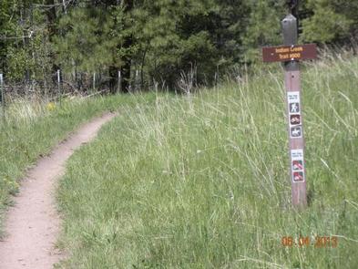
The Indian Creek Trail, which is also called the Bear Creek Trail, is a loop trail that extends for 14 miles. In addition to horseback riders, mountain bikers and hikers also enjoy taking on the scenic journey.
Facilities
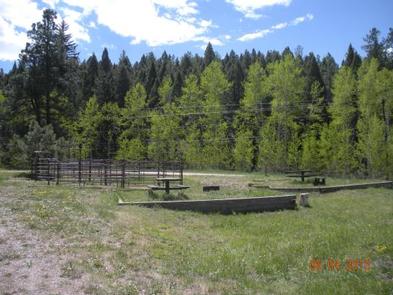
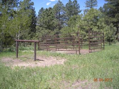
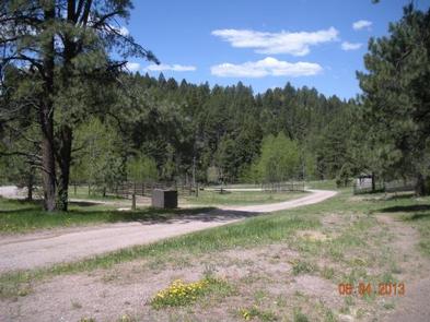
Four hitching rails and some small corrals are provided for common use. Drinking water is on hand from hydrants. There is no watering trough available.
The campground is adjacent to the Indian Creek Campground, which is available for family camping.
Natural Features
Campsites sit among a mix of trees that provide both shade and sun throughout the day. These include Ponderosa pine, Gamble oak, Douglas fir, aspen and spruce.
Pike-San Isabel National Forests include over a million acres of wilderness and over half of Colorado’s mountain peaks that reach above 14,000 feet in altitude.