Directions
From Phoenix, travel north on Interstate 17 and take the Sedona exit (exit 298) onto Highway 179 north. Go through the Village of Oak Creek, to Sedona. Turn left onto State Highway 89A and proceed west through Sedona to Upper Red Rock Loop Road. Turn left and continue to Chavez Ranch Road and turn left again. At the stop sign, continue straight. At the top of the hill again continue straight bearing to the right towards the gravel road and go through the locked gate (which has a "Road Closed" sign). Turn left at the end of the road. The Crescent Moon Ranch house is the last house on the right, with a garage. Both road gate and house have same combination for entry.
Phone
928-203-7500
Activities
BIKING, CAMPING, FISHING, HIKING, HUNTING, WILDLIFE VIEWING, SWIMMING SITE
Keywords
CRMO,COCONINO NF – FS,COCONINO
Related Link(s)
Overview
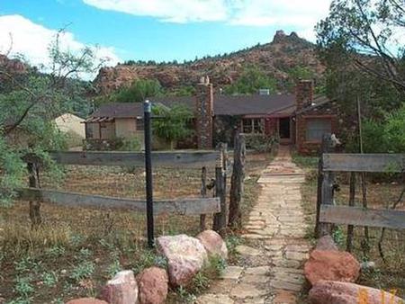
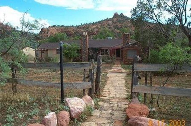
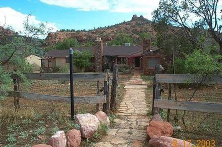
Crescent Moon Ranch is an exceptional year-round place to stay in beautiful Sedona. The central Arizona facility is a rustic, historic ranch house adjacent to Oak Creek and near the base of the towering Cathedral Rock, one of the most photographed scenes in the Southwest. Guests can enjoy hiking, photography or simply relaxing and taking in the breathtaking views.
The cabin can accommodate up to 10 people for overnight use. It can be accessed by vehicle. Guests are responsible for their own travel arrangements and safety, and must bring several of their own amenities.
Recreation
Guests can picnic at the adjacent day use area and fish, swim and wade in the crystal clear waters of Oak Creek. Flora, fauna and rock formations in the surrounding area provide excellent subjects for photography.
Within a few minutes, visitors can access hiking, biking and scenic driving through Oak Creek Canyon, to view majestic red-hued cliffs, buttes and canyons. The site is also convenient to Sedona, a resort town with shopping, dining, golfing and other attractions.
Facilities
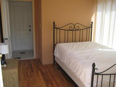
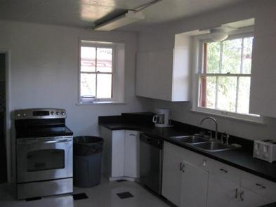
With three bedrooms, three bathrooms, a large living room, two kitchens and an enclosed sun porch, Crescent Moon offers plenty of room. The house has beds with mattresses, and a futon and sleeper sofa in the living room. Electricity and running water are provided, and the house has heating and air conditioning, providing a comfortable stay any time of the year. Please be mindful of reducing heating and cooling cost by not leaving windows open with central heating/cooling system running. The house is fully furnished, including a dining room table and chairs. The large kitchen has a sink, electric stovetop range, dishwasher, refrigerator, coffee maker, toaster, crock pot, electric can opener and microwave. There is a limited supply of plates, pots and pans, and silverware. The smaller kitchen has a sink, cupboard storage and extra counter space. A grill and picnic table sit outside for outdoor cooking ( click here for more cabin details ). Guests must bring their own bedding and pillows, flashlights, towels, food, garbage bags, dish soap, dish towels, extra cooking utensils and dishes, toilet paper and paper towels. Bedding and linens are not provided. Three full beds, one with a twin bunk and two full futons are in the living room. Guests must clean the cabin completely and pack out all food and trash before leaving. Some cleaning supplies are provided.
Natural Features
Placed beside a tree-lined creek with Sedona’s famous red rock cliffs in the background, Crescent Moon’s location offers a serene natural setting. The site lies in the high desert at the base of the Mogollon Rim, a 200-mile slope that ranges between 5,000 and 7,000 feet in elevation. Cresent Moon sits at an elevation of 4,000 feet and was built by ranchers of the original homestead. The cabin was later made available for public use by the U.S. Forest Service.
Nearby Attractions
The nearby towns of Sedona and Oak Creek offer plenty of lodging, camping, shopping and dining. A variety of hiking and swimming destinations are within a short drive, including the well-known Slide Rock State Park and Red Rock/Secret Mountain Wilderness area.

