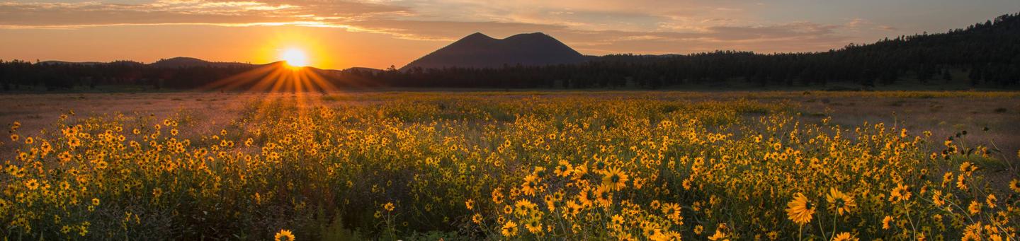
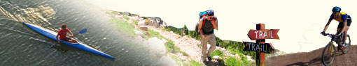
Activities
AUTO TOURING, BIKING, BOATING, CLIMBING, CAMPING, INTERPRETIVE PROGRAMS, FISHING, HIKING, HORSEBACK RIDING, HUNTING, OFF HIGHWAY VEHICLE, PICNICKING, WINTER SPORTS, VISITOR CENTER, WILDLIFE VIEWING, FIRE LOOKOUTS/CABINS OVERNIGHT, SWIMMING, HORSE CAMPING
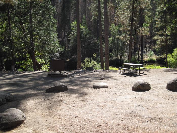
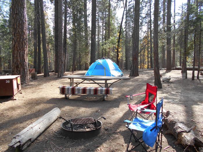
Camping Reservations
Reserve your campsite at these camping areas:
Hiking Trails
Looking for nice hiking areas to take a hike? Choose from these scenic hiking trails:
Painted Desert Vista/Doney Picnic Areas
Call of the Canyon Picnic Site
Related Link(s)
Coconino National Forest Recreation

The Digital Travel Map is a free resource for anyone headed out into the Coconino National Forest. Whether you’re driving, hiking, riding, or exploring, you will find this full color, GPS-enabled map a handy reference to have on your mobile device. The map show trails, recreation sites, major landmarks, and forest boundaries in addition to the roads shown on the Motor Vehicle Use Map.
See Maps and Publications for more digital and printed maps.
Some tips to help you enjoy your recreation experience…
- Fireworks are not allowed on the National Forest.
- Winter brings snow to the high country. Be avalanche aware!
- When camping or picnicking, please keep your site clean, free from trash and food. Otherwise animals and insects are attracted to your site.
- Bag your trash and take it home with you. Help us keep our forests clean and green by “Packing It Out!”
- Never leave your campfire unattended. When you leave, put it out, dead out! See Forest Orders for any current fire restrictions
- Human waste is a big problem when thousands of people converge on the Forest. Please see Leave No Trace – Dispose of Waste Properly for detailed instructions on handling this “delicate” situation.
Sharing the trail with horses
What a Horse Sees! “ a short film illustrating safe ways of passing horse and rider on the trail. [Trailmeister.com]
Driving motorized vehicles on the Forest
Keep motor vehicles on designated routes and areas. If you plan on camping, driving off-highway vehicles, hunting, or exploring the backcountry, get a free Motor Vehicle Use Map (MVUM) to know which roads are open to motor vehicle use. Know before you go.
Where do recreation fees go and how are they used?
Take a moment to view the latest Recreation Fee Accomplishment Report, which shows the revenue and expenditures, as well as how fees were put to good use!
With your help, we can protect our natural resources for future generations. Thank you!