ROCK CREEK LAKE, CA Campground Reservation, Info, Images, Map, Directions

ROCK CREEK LAKE, California Campground Images, Info & Reservations

Directions

From Mammoth Lakes, California, drive south on Highway 395 for approximately 13 miles. Take the Tom’s Place exit and proceed west up the canyon for about 10 miles. At the lake, follow the signs to the family campground.

Phone

760-873-2500

Activities

BOATING, CAMPING, INTERPRETIVE PROGRAMS, FISHING, HIKING, HORSEBACK RIDING, WILDLIFE VIEWING

Keywords

RCLK,INYO NF – FS

Related Link(s)

Rec Area Info & Images

California State Road Conditions

California State Tourism

Forest Service Concessionaire

Overview

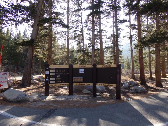
This facility does not accept reservations.

Recreation

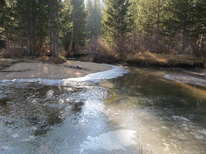
Rock Creek and other waterways in the eastern Sierra Nevada Mountains are known for exceptional trout fishing. A catch from the lake may include brook, brown, rainbow and stocked Alpers trout, while anglers may be treated to golden trout in the backcountry. Power boats on the lake are limited to electric motors only.

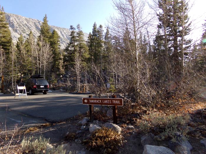
The area’s majestic scenery and challenging trails are a draw for hikers, mountain bikers and horseback riders. The Tamarack Trail begins in the campground and wanders up to several high-elevation, glacially-carved alpine lakes and ponds.

Facilities

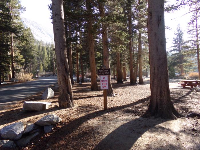
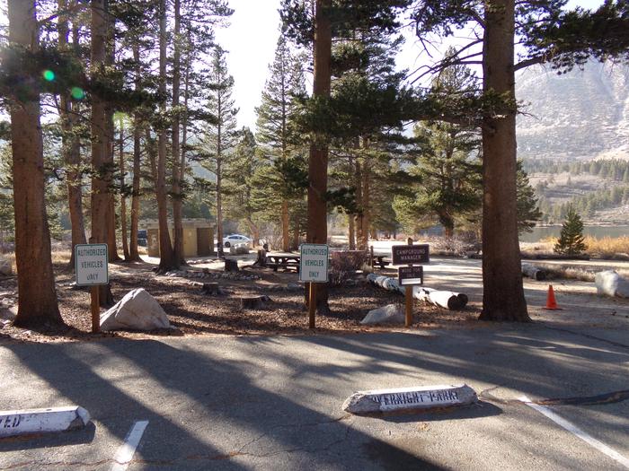
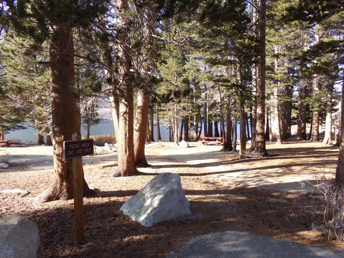
The campsites are well-spaced along the lake shore, with several tent-only, walk-in sites overlooking the lake. Boat rentals, educational programs, groceries and showers are all nearby. Firewood is available on-site for a fee. Bears inhabit the area, so bear-proof lockers are provided for campers to store food.

Natural Features

The campsites at Rock Creek Lake sit on a low hill with scattered aspen and lodgepole pine trees overlooking the lake’s crystal blue waters. At an elevation of 9,600 feet, the facility affords visitors excellent mountain views.

The area is home to abundant wildlife, including black bear, mountain lions, mule deer, pine martin, pika and many species of fish and birds.

Nearby Attractions

Visitors have convenient access the magnificent John Muir Wilderness, which stretches for 100 miles along the crest of the Sierra Nevada Mountains. It is a land of lofty snow-capped mountains, deep canyons and vast expanses of glacially-carved terrain, and offers extensive hiking, mountain biking and horseback riding trails.

Reservation

More from CampingHiking.net:

MINERS GULCH, Utah Campground Images, Info & Reservations

Directions From Duchesne, Utah: Take Highway 87 north for 15 miles to the Mountain Home turnoff. Turn left and continue 2.5 miles north to the Rock Creek Store. Turn left toward Rock Creek Canyon and proceed approximately 15 miles to the campground. You’ll see a sign for Miners Gulch and

FOWLERS CAMPGROUND, California Campground Images, Info & Reservations

Directions From McCloud, California, go east on Highway 89. Drive 5 miles and look for the Fowlers/Lower Falls Sign. Turn right just after the sign and drive approximately 1 mile. Once you cross the River Loop Road take the left fork into the campground. The right fork will take you

RIVERSIDE AT DETROIT, Oregon Campground Images, Info & Reservations

Directions From Detroit, OR, take Route 22 toward Sisters. Go 14.2 miles to the campground on right side of the road. From Sisters, head toward Detroit on Route 22. Go 43 miles to the campground on the left. Phone 801-226-3564 Activities FISHING, HIKING, BIRDING Keywords Riverside,Riverside Campground Related Link(s) Rec

WARM RIVER CABIN, Idaho Campground Images, Info & Reservations

Directions From Ashton ID, travel east-northeast on Highway 47 (also known as the Mesa Fall Scenic Byway) for approximately 15 miles to the intersection of Highway 47 and Forest Road 150. Turn right onto Forest Road 150 and travel approximately 2.5 miles to the intersection of Forest Road 150 and

OUTLET PARK (KS), Kansas Campground Images, Info & Reservations

Directions Take I-70 to exit 295, then 4.5 miles north to Hwy. 57, then east approximately 3.2 miles to park entrance. Phone 785-238-5714 Activities CAMPING, WILDLIFE VIEWING, SWIMMING SITE Keywords Related Link(s) Rec Area Info & Images Kansas State Road Conditions Kansas State Tourism Overview Outlet Park is a day