
Directions
From Tuscaloosa, Alabama: From I-59, take exit 86 toward Brookwood on Tuscaloosa County Road 59. Turn right at the traffic light in Brookwood on highway 216. Turn left (northeast) onto County Road 59, then turn left at the stop sign onto Lock 17 Road. Turn left at Lock 17 Grocery onto Lock 17 Road and proceed to the park entrance (approximately 23 miles from Brookwood). From Birmingham, Alabama: From I-59, take exit 115 toward Hueytown on Allison-Bonnett Memorial Drive, which turns into Warrior River Road. Follow through Concord Community toward Lock 17 Road (Warrior River Rd. turns into Lock 17 Rd.). Continue through Oak Grove Community, turn left at Lock 17 Grocery and proceed to the park (approximately 31 miles from Interstate 59).
Phone
205-497-9828
Activities
BIKING, BOATING, CAMPING, FISHING, PICNICKING, DAY USE AREA, SWIMMING, WATER ACCESS
Keywords
BURC,Old Lock 16 Park,Lock 17 Park,Bankhead Park,RIVER PARK,TEST,BLACK WARRIOR
Related Link(s)
Overview
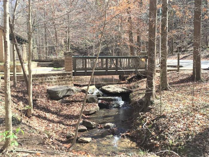
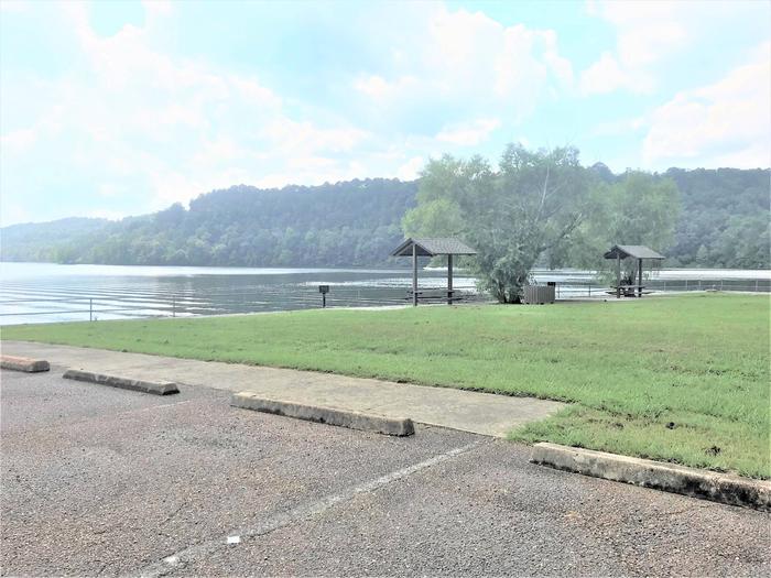
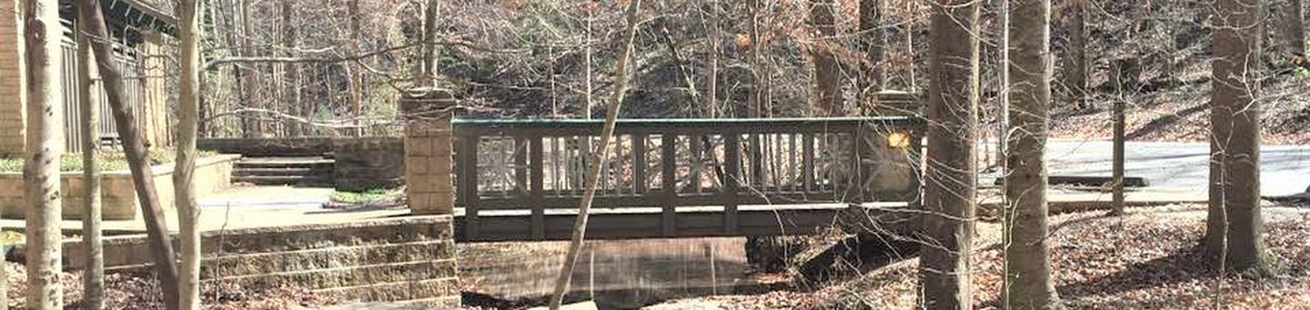
Burchfield Branch Park is located near Holt Lake on the Black Warrior-Tombigbee Waterway northeast of Tuscaloosa, Alabama. With many amenities, access to the water and opportunities to view wildlife, Burchfield Branch provides a convenient camping spot for families, boaters, swimmers, picnickers and sightseers.
Recreation
Fishing is the most popular activity on the waterway. Whether fishing by boat or along the shore of the park, anglers can find bass, crappie, bream, catfish and more.
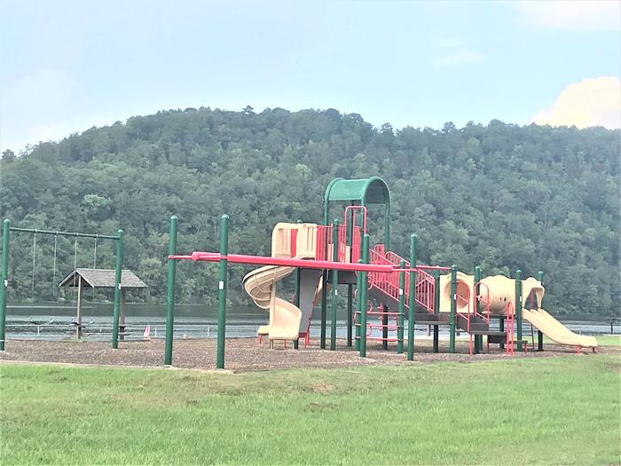
Families can enjoy biking and swimming along the lakeshore, watching for birds and animals or taking advantage of the facility’s two playgrounds.
Facilities
Burchfield Branch Park has 36 sites with electric and water hookups, as well as one reservable group picnic shelter for day use. RV campers have the convenience of hot showers, a dump station and trash receptacles.
Natural Features
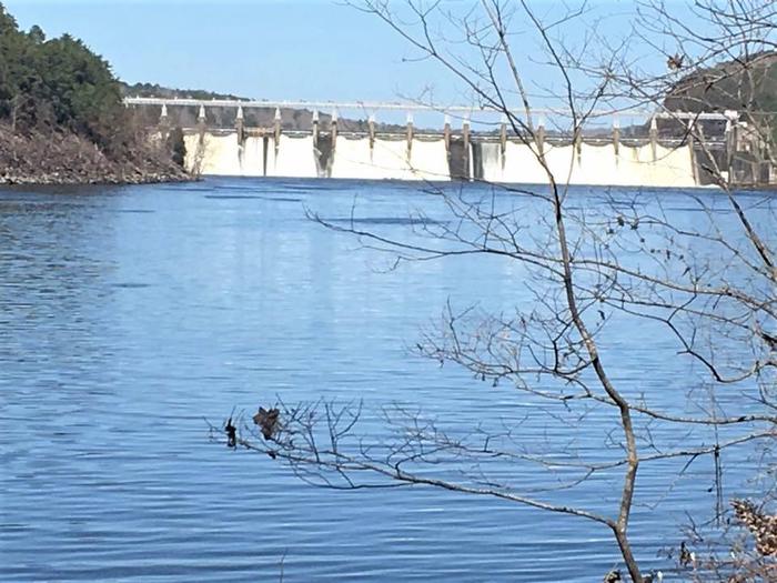
Holt Lake was created by the damming of the Black Warrior River. The campground is situated along the forested shores of the river and displays scenic fall foliage each year. Deer, squirrel, wild turkey, migratory birds and blue birds live around the Holt Lake area.
Black Warrior-Tombigbee Waterway consists of six lakes with a total length of 457 miles and 39,800 surface acres of water.
Temperatures range from the 80s to 90s from April through September, and annual rainfall averages about 60 inches.