Directions
Bankhead, Holt and Oliver Lakes: From Tuscaloosa, 10 mi E on AL 216 to Peterson Asst. Resource Manager’s Office. Warrior, Demopolis and Coffeeville Lakes: From Demopolis, US 80 W 2 mi to Lock & Dam road to the Resource Manager’s Office.
Phone
(334) 289-3540
Activities
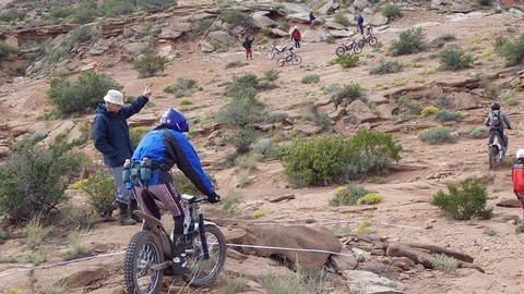
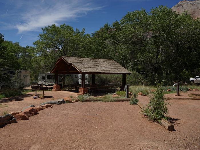
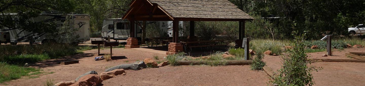
BIKING, BOATING, HISTORIC & CULTURAL SITE, CAMPING, FISHING, HIKING, PICNICKING, WATER SPORTS, WILDLIFE VIEWING, PLAYGROUND PARK SPECIALIZED SPORT SITE
Camping Reservations
Reserve your campsite at these camping areas:
Hiking Trails
Looking for nice hiking areas to take a hike? Choose from these scenic hiking trails:
Related Link(s)
Black Warrior and Tombigbee Lakes Map
Black Warrior and Tombigbee Lakes Website
Black Warrior and Tombigbee Lakes Photo Album
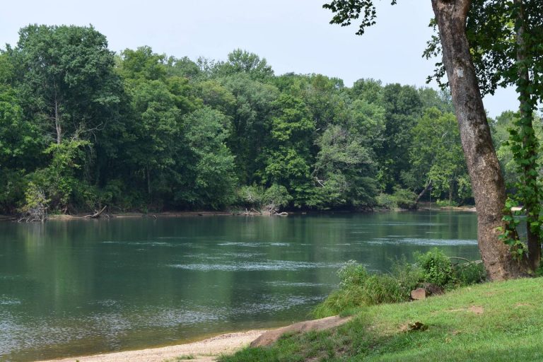
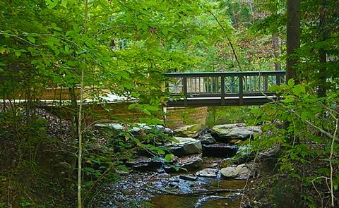
The Black Warrior & Tombigbee Lakes (BW&T) consist of six lakes (Demopolis, Coffeeville, Warrior, Oliver, Holt and Bankhead) with a combined total length of 457 miles and 39,800 surface acres of water. There are boat launching ramps at nearly all the Corps public recreation areas. There are three privately owned marinas that provide fuel, boat repair, supplies, rentals and meet other boater needs. Boaters from across the State and the country come here for their boating pleasures. Whether water-skiing, sightseeing, sailing, powerboating or jet skiing, these waters are for everyone!