Directions
From Laramie, take Highway 130 west, then State Highway 11 to Albany, WY. The cabin is located 8 miles west of Albany, on Forest Service Road 542.
In the winter, access to the cabin is 8 miles by snowmobile, skiing or snowshoeing from Albany Snowmobile Parking Lot.
Phone
307-745-2300
Activities
BIKING, CAMPING, FISHING, HIKING, HORSEBACK RIDING, HUNTING, WINTER SPORTS, WILDLIFE VIEWING
Keywords
KYST,Keystone Ranger Station,Keystone Guard Station,Keystone Work Center,Keystone Ranger’s House,MEDICINE BOW-ROUTT NF-FS
Related Link(s)
Overview
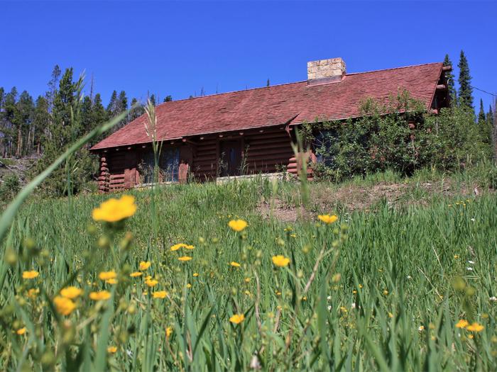
Located deep within the Medicine Bow National Forest, Keystone Cabin offers a unique lodging experience in southeastern Wyoming for guests seeking recreation and relaxation. It is open 11 months of the year, and offers access to a variety of recreational opportunities in all seasons.
The cabin once served as the District headquarters for the Keystone Ranger District, and has been remodeled to preserve the historic value of the cabin while adding a few modern amenities, such as electricity. Due to the rustic and historic nature of the cabin, guests will need to bring a few of their own supplies for a comfortable and enjoyable experience.
During the summer, the cabin is accessible by car, but guests should be prepared to get there in winter by snowmobiling, skiing or snowshoeing five miles from Albany Snowmobile Parking Lot. Please be aware that there may be snow in the area until the end of June and the road can be muddy and bumpy; we recommend calling the USFS Laramie Ranger District office at (307) 745-2300 prior to your reservation to receive the latest weather and road conditions.
Recreation
Hiking, fishing, mountain biking, horseback riding and hunting can be found within the vicinity. Several trailheads are an easy drive from the cabin.
In the winter, skiing and snowshoeing are popular activities.
Facilities
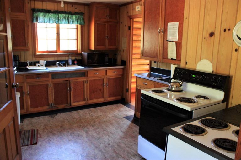
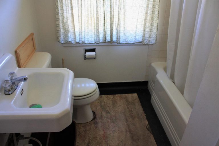
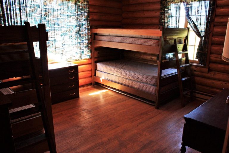
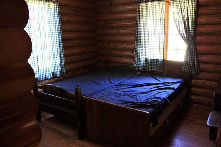
The cabin’s two bedrooms can sleep up to six people on single beds and bunk beds with mattresses. The cabin has electric lights and heat, but guests can also use the wood-burning stove. The kitchen has a refrigerator, stove, cookware and basic cooking and eating utensils. Drinking water is available. The bathroom has showers and flush toilets. Please be aware that due to recent vandalism, some of the windows are currently under repair and covered with plywood. Restoration efforts are underway and the cabin is still available for rental.
A picnic table and grill provide a delightful area for outdoor dining.
Guests need to provide their own food, sleeping bags, flashlights, pillows, towels, dish soap, matches, first aid kit, toilet paper and garbage bags. All trash and food must be packed out, and guests are expected to clean the cabin before leaving.
There are 2 cabins at the Keystone Ranger Station; one is the rental and the one is sometimes used for employee housing on a temporary basis. Reservation holders will be notified if this is the case.
Natural Features
From open, high expanses to valleys and canyons that rise steeply to snowy ranges, the Medicine Bow-Routt National Forests encompass mountain ranges, tributaries to the North Platte River and the Colorado River, and a mix of forested ecology with spruce, lodgepole pine, subalpine fir, aspen and shrub lands.
Keystone Cabin sits in a clearing surrounded by a mixed conifer forest at an elevation of 9,265 feet. Wildlife viewing is abundant near the cabin, including elk, deer and moose. Migratory birds, squirrels and an occasional black bear find habitat in the forest as well.
Charges & Cancellations
Refunds for cancellations may be processed on a case-by-case basis. There are no refunds for reservation processing fees. Please be aware of changes in weather and road conditions prior to arrival and plan accordingly.

