COLD SPRINGS GROUP CAMP (OK) CHICKASAW NRA, OK Campground Reservation, Info, Images, Map, Directions

COLD SPRINGS GROUP CAMP (OK) CHICKASAW NRA, Oklahoma Campground Images, Info & Reservations

Directions

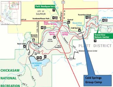
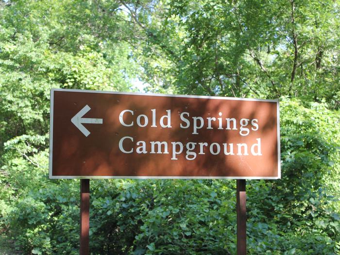
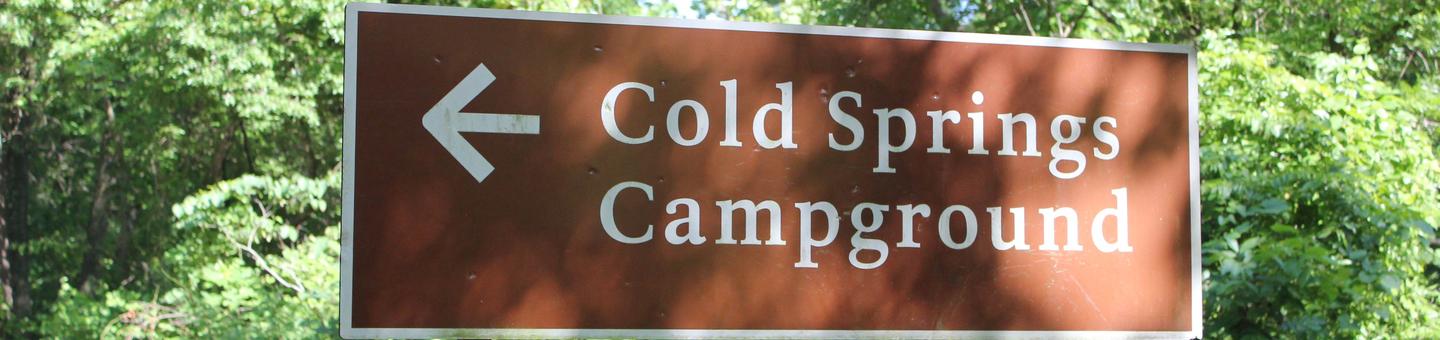
From I-35, take Exit #55 and drive towards the city of Davis, OK. Once in Davis, go east on Highway 7 to the Chickasaw National Recreation Area you desire. Watch for Chickasaw National Recreation Area signs to direct you to your selected area. Central and Cold Springs Campgrounds and Travertine Nature Center (East Historic Platt) – Drive approximately 8 miles east of Davis to the only 4 way STOP (Jct Hwy 7 and Hwy 177) in the city of Sulphur. Turn south (right) for approximately .2 miles on Highway 177 to the first left turn. Central Campground is approximately .25 mile east on NE Perimeter Road. Cold Springs Campground is approximately another .4 mile east of Central. The Travertine Nature Center is approximately .9 miles east of Cold Springs.

Phone

580-622-7234

Activities

BIKING, HISTORIC & CULTURAL SITE, CAMPING, HIKING, WATER SPORTS, WILDLIFE VIEWING, SWIMMING SITE

Keywords

CSGC,CHICKASAW NATIONAL REC. AREA,PLATT NATIONAL PARK,ARBUCKLE LAKE,LAKE ARBUCKLE,LAKE OF THE ARBUCKLES,CHICKASAW,CHICKSAW

Related Link(s)

Rec Area Info & Images

Oklahoma State Road Conditions

Oklahoma State Tourism

Overview

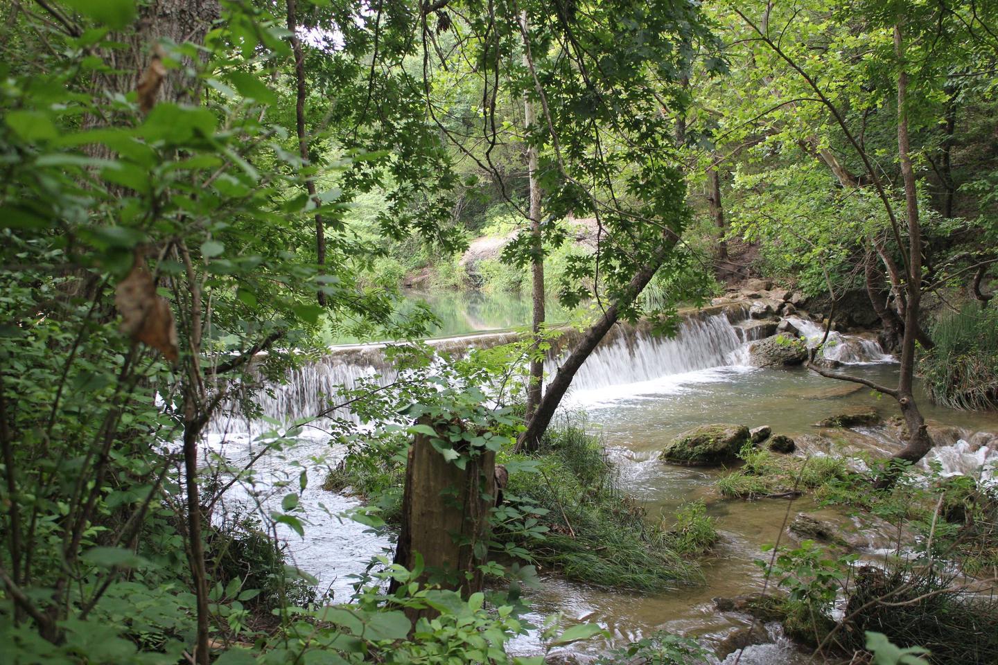
Cold Springs campground is within close proximity to Travertine Creek, hiking trails and natural springs.

The most popular attraction for campers at Cold Springs is Bear Falls, which is just across the road. The falls are a favorite swimming area to cool off on hot days. Garfield Falls is another watering hole with easy access.

Recreation

Just across the road is Travertine Creek, with a popular swimming area at Bear Falls. The creek is fed from the cool, clear waters of Antelope and Buffalo Springs.

Facilities

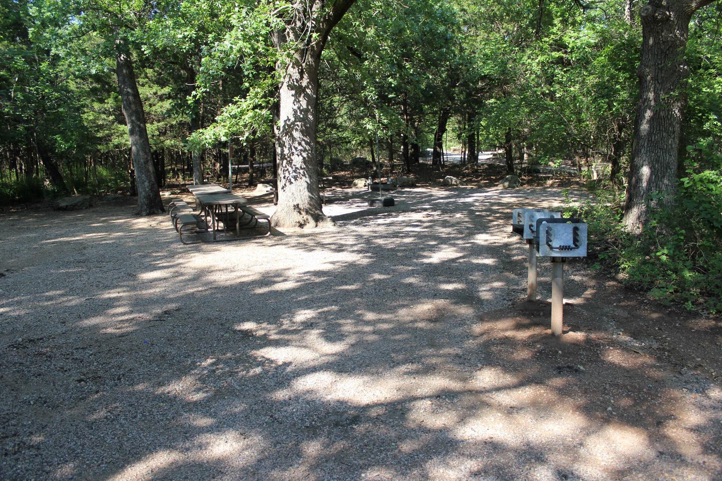
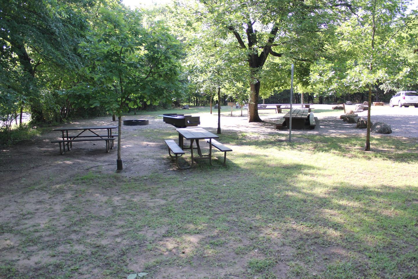
Cold Springs is a handy campsite for big families, friends and outdoor clubs. The two non-electric group sites are best for tent camping, though small RVs and pop-up campers (less than 20′) may fit.

Natural Features

Mature oak and hickory forests cover this historic part of Chickasaw National Recreation Area. The park is characterized by complex geology as intensive faulting, folding, and rock deformations have combined to form a landscape of gently rolling hills dissected by gentle streams.

Reservation

More from CampingHiking.net:

LIGHTFOOT LANDING, Missouri Campground Images, Info & Reservations

Directions From Springfield, MO, go north on Highway 13 to Bolivar, MO. Take Highway 83 northeast to RB Highway. Follow the RB Highway east to the Lightfoot Park entrance. Phone 417-282-6890 Activities CAMPING, PICNICKING Keywords LIGL,POMME DE TERRE LAKE,POMME DE TERRE LAKE Related Link(s) Rec Area Info & Images Missouri

THREE LAKES, Michigan Campground Images, Info & Reservations

Directions From Strongs Corner, turn south on Forest Road 3142 and travel approximately two miles. The campground is on the east side of the road. Phone (906) 643-7900 Activities BOATING, CAMPING, FISHING, HIKING, SWIMMING SITE Keywords THRE,Three Lake Campground,Softball Campground,HIAWATHA NF – FS Related Link(s) Rec Area Info & Images

Rocky Bend Group Campground, Oregon Campground Images, Info & Reservations

Directions From Hebo, Oregon, travel north on Highway 101 four miles to Beaver, Oregon and turn on Blaine Road for 6 miles. Turn right on Upper Nestucca River Road and follow for 10 miles. Site is on the right. Phone 503-392-5100 Activities BIKING, FISHING, HIKING, WATER ACCESS Keywords Related Link(s)

CLEARWATER CAMPGROUND, Wyoming Campground Images, Info & Reservations

Directions From Cody, Wyo., follow Sheridan Avenue west through Cody until the road leaves town, and becomes the Buffalo Bill Cody Scenic Byway (U.S. Highway 14/16/20). The campground is 32 miles west of Cody, on the south side of the highway and next to the river. Phone 307-527-6921 – THIS

BIG MEADOWS, Virginia Campground Images, Info & Reservations

Directions From Washington, D.C., metro area, travel west on Interstate 66 to exit 43A. Take US Highway 29 south to Warrenton, Virginia, then merge onto US Highway 211 west to Shenandoah National Park and Skyline Drive Thornton Gap Entrance. Take Skyline Drive south approximately 19 miles and turn right into