PECAN POINT PARK (Navarro Mills Lake), TX Campground Reservation, Info, Images, Map, Directions

PECAN POINT PARK (Navarro Mills Lake), Texas Campground Images, Info & Reservations

Directions

From Corsicana and Waco, Texas, travel on State Highway 31 toward the lake. Turn north onto FM 667 and continue for 5 miles. Turn west onto FM 744 and go about 3 miles to the intersection with FM 1578. Turn south and drive about 2 miles to CR 3360. Turn right and drive into the park entrance.

Phone

254-578-1431

Activities

BIKING, BOATING, CAMPING, FISHING, PICNICKING, WATER SPORTS

Keywords

PPPA,NAVARRO MILLS LAKE,WOLF CREEK PARK 2,NAVARRO MILLS LAKE

Related Link(s)

Rec Area Info & Images

Texas State Road Conditions

Texas State Tourism

Overview

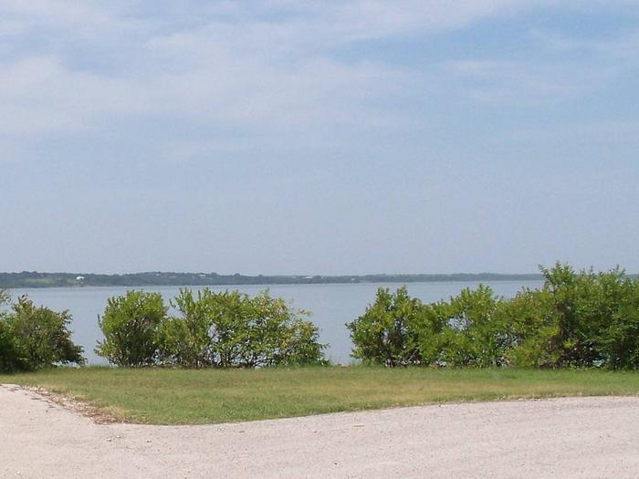
Pecan Point Park is located on the northern shore of Navarro Mills Lake in central Texas.

Visitors can enjoy a view of the lake from the facility and participate in popular outdoor actives like camping, boating, fishing and picnicking. The lake area provides the perfect setting to get away from it all, especially for city-dwellers from the nearby Dallas-Fort Worth metro area.

Recreation

Birding is a favorite year-round pastime for lake guests. Many species of songbirds, hawks, great blue herons, ducks, geese, other shorebirds and even an occasional bald eagle visit the area.

Fishing is also popular at Navarro Mills, and the lake holds the current state record for white crappie. Fishermen come from near and far to sample some of the best crappie fishing anywhere.

There are also healthy populations of channel and yellow catfish, and hefty hybrid stripers are often caught below the dam when water is being released. Liberty Hill has a fishing pier, and there is a full-service marina at the lake.
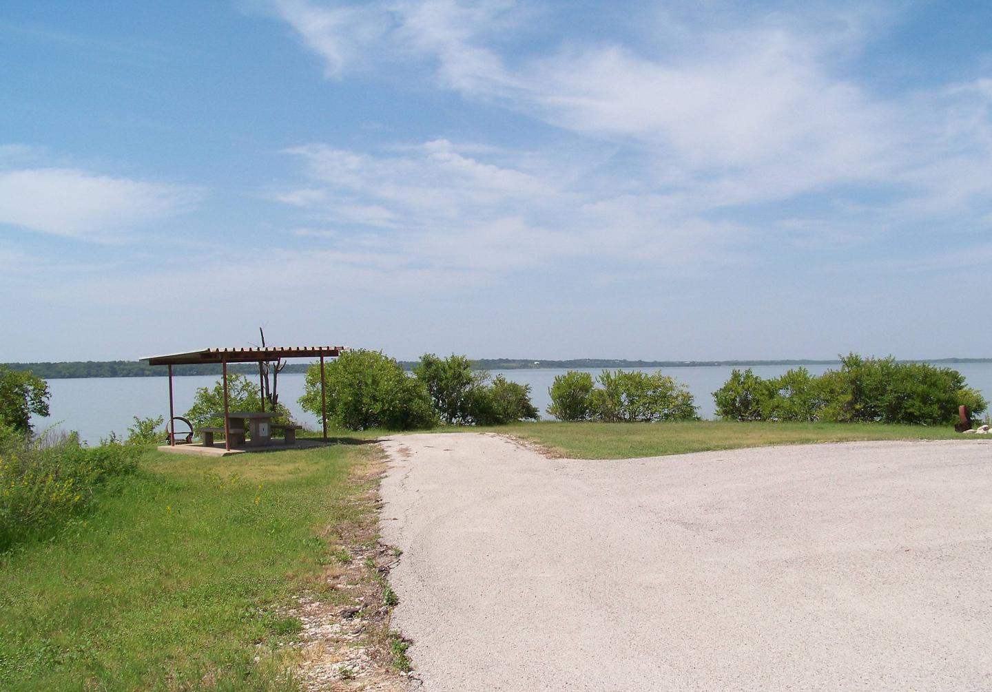
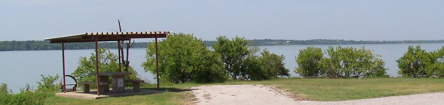
Facilities

There are 35 campsites, and five offer electric and water hookups. A variety of amenities are provided, such as a high water boat launch ramp, flush toilets, picnic tables, grills, drinking water and trash collection.

Natural Features

Most of the campsites have some shade, and Pecan Point is also a favorite viewing area for wildflowers. The brilliant array of native flowers draws visitors from all over to the lake area during the spring. Bluebonnets, paintbrushes and a myriad of other native plants transform the often-bleak winter landscape into an incredible palette of colors. A wide variety of habitat provides a home and abundant food supply to diverse wildlife. Visitors might stumble across squirrels, rabbits, coyotes, foxes, bobcats, white-tailed deer, raccoon or armadillo.

Reservation

More from CampingHiking.net:

SAMSING COVE CABIN, Alaska Campground Images, Info & Reservations

Directions Accessible year round, weather permitting. Located 5.5 miles south of Sitka, on the shore of Samsing Cove off Sitka Sound. Access is by boat only, and takes about 20 minutes from Sitka. For geographic features surrounding the cabin, refer to USGS topographic maps Port Alexander D-5 and D-4. Please

EAGLE ROCK, Missouri Campground Images, Info & Reservations

Directions From Cassville, Missouri, take US-86 southeast for 4 miles to Eagle Rock Community to the access road. Follow the signs into the campground. Phone 417-271-3215 Activities BIKING, BOATING, CAMPING, FISHING, HIKING, PICNICKING, WATER SPORTS, WILDLIFE VIEWING, DAY USE AREA, SWIMMING SITE, PHOTOGRAPHY, DIVING, RANGER STATION, KAYAKING, WATER ACCESS Keywords

MORGAN-CASE HOMESTEAD, Montana Campground Images, Info & Reservations

Directions From Missoula, Montana, travel east on Interstate 90 for about 20 miles to exit 126. Drive south on Rock Creek Road for about 30 miles. Rock Creek Road is a hardened surface for 12 miles and the remainder is a gravel, single-lane road, with intermittent pull-outs. It is not

CHAMBERS LAKE, Colorado Campground Images, Info & Reservations

Directions From Interstate 25 at Fort Collins, take Highway 287 north for 10 miles to Ted’s Place, then take Highway 14 west for 50 miles to the campground. Phone 970-295-6700 Activities BIKING, BOATING, CAMPING, FISHING, HIKING, WILDLIFE VIEWING, DAY USE AREA, MOUNTAIN BIKING, CANOEING Keywords CHAM,ARAPAHO AND ROOSEVELT NF –

ARROWHEAD CAMPGROUND, North Carolina Campground Images, Info & Reservations

Directions From Troy, North Carolina, take State Highway 109 north for approximately 10 miles. Turn left onto Mullinix Road (County Highway 1154), and travel approximately 1.5 miles to a stop sign and "T" intersection. Turn right, and go approximately 2 miles to another stop sign and "T" intersection. Turn left

LEDGEFORK, Utah Campground Images, Info & Reservations

Directions From Salt Lake City: From I 15, take I 80E past Park City to either Hwy 189 or Wanship. On 189, travel SE to Kearns Blvd/SR 248. Continue east on SR 248 to Browns Canyon Rd. Travel E/NE on Browns Canyon until it connects with SR 32 just north