LAKE THREE, WI Campground Reservation, Info, Images, Map, Directions

LAKE THREE, Wisconsin Campground Images, Info & Reservations

Directions

34412 Mineral Lake Rd. (FR 198)

From Mellen, Wisconsin; Take County Highway GG west for about 8 miles. Turn right onto Forest Service Road 187/Mineral Lake Road and continue for 3 miles to the intersection with Forest Service Road 198/Pine Stump Corner. Turn right and continue less than a mile to the campground sign.

Phone

715-634-4821

Activities

BOATING, CAMPING, FISHING, HIKING, SWIMMING SITE

Keywords

LATH,CHEQUAMEGON-NICOLET NF – FS

Related Link(s)

Rec Area Info & Images

Wisconsin State Tourism

Wisconsin State Road Conditions

Overview

We apologize, this campground is currently closed.

Recreation

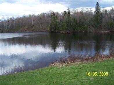
The lake is home to musky, bass and pan fish and offers an ideal spot to kayak, canoe, swim or enjoy a leisurely boat ride.

The North Country National Scenic Trail is adjacent to the campground, providing opportunities for visitors to enjoy day trips along the trail, which stretches approximately 4,600 miles from New York to North Dakota.

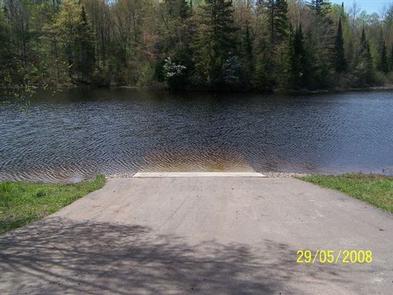
The surrounding area offers miles of off-road vehicle, hiking and mountain biking trails, along with several lakes, ponds and rivers to cast a line or launch a boat. Springbrook, a Class 1 brook trout stream, is nearby, and is popular among anglers.

Facilities

Natural Features

Nearby Attractions

While in the area, visitors are encouraged to visit Morgan Falls, St. Peter’s Dome, and the Penokee Overlook, all of which are just a short drive from the campground.

Reservation

More from CampingHiking.net:

ASPEN POINT, Oregon Campground Images, Info & Reservations

Directions From Medford, Oregon, travel 32 miles east on Highway 140, then turn south on Forest Road 3701 and continue .6 miles to the campground. Phone 541-949-8020 Activities BIKING, BOATING, CAMPING, FISHING, HIKING, SWIMMING SITE Keywords APEN,LAKE OF THE WOODS,WINEMA NF – FS Related Link(s) Rec Area Info & Images

TYEE PAVILION, Oregon Campground Images, Info & Reservations

Directions From Sutherlin, travel west on Highway 138 for 12 miles. Turn left at the Bullock Bridge, cross over the bridge and immediately turn right onto County Road 57 (Bullock Road). Travel .5 miles to Tyee. Campground is on the right. Phone 541-440-4930 Activities CAMPING, FISHING, SWIMMING SITE Keywords TYPA

CONEROSS PARK, Georgia Campground Images, Info & Reservations

Directions From Interstate 85 in South Carolina, take Exit 11 onto Highway 24 towards Townville. About 1.5 miles past Townville, turn right onto Coneross Creek Road. Follow signs to the park entrance. 699 CONEROSS PARK ROAD, Townville, SC 29689 Phone 888-893-0678 (HARTWELL PROJECT OFFICE) Activities BOATING, CAMPING, FISHING, SWIMMING SITE,

GOLD BUTTE LOOKOUT, Oregon Campground Images, Info & Reservations

Directions From Detroit Ranger Station, drive east on State Highway 22 toward the town of Detroit. Directly after crossing the bridge, take a left onto Forest Service Road (FSR) 46 (Breitenbush). Drive FSR 46 for about 4 miles to FSR 4696. Turn left (northeast) onto FSR 4696 and drive about