
Directions
From Reno, take I-80 west to the Hirschdale Exit. Drive north on Hirschdale Road approximately 3 miles to the campground.
From Truckee, take I-80 west 10 miles to the Hirschdale Exit. Drive north on Hirschdale Road approximately 3 miles to the campground.
Phone
(530)587-3558. FOR RESERVATIONS, PLEASE CALL: 1 (877) 444-6777.
Activities
BIKING, BOATING, CAMPING, FISHING, HIKING, WATER SPORTS, SWIMMING, OFF HIGHWAY VEHICLE TRAILS
Keywords
BORE,TAHOE NF – FS
Related Link(s)
California State Road Conditions
Overview
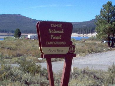
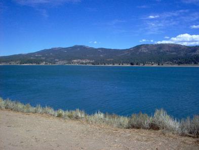
Boca Rest Campground is located along the shores of Boca Reservoir, 20 minutes from Truckee, California. Visitors enjoy the area for its boating, swimming, fishing and abundant hiking opportunities. This facility is operated and maintained by the Tahoe National Forest.
Recreation
Boca Reservoir spans over 900 acres and is a popular location for boating, water skiing, swimming and fishing. A boat ramp is located on the west shore of Boca Reservoir, and an unimproved boat launching area is due south of the campground. The Little Truckee River is nearby and offers some of Northern California’s best catch-and-release fly-fishing. The surrounding area offers hiking, biking, horseback riding and off-road vehicle trails. Boca Townsite Interpretive Trail showcases the boom and bust of the historic town of Boca as it transitioned from a construction camp for the Central Pacific Railroad to the Boca Mill and Ice Company and later to the Boca Brewery.
Facilities
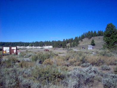
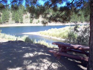
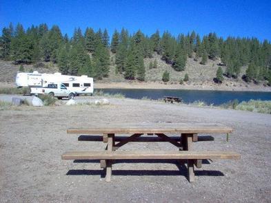
The campground offers single-family sites, with a few located right along the waterfront. Most sites are fairly exposed with little to no shade, but are well-spaced, providing for plenty of separation between sites. Each site is equipped with a picnic table and campfire ring. Vault toilets and drinking water are provided.
Natural Features
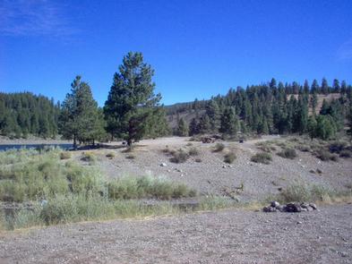
The campground is situated on the northeastern shores of the Boca Reservoir, near where the reservoir meets the Little Truckee River. The campground is characterized by open areas dotted with sagebrush. A few pines are scattered throughout the site but shade is very limited.
Nearby Attractions
Stampede Reservoir is located 9 miles north of the campground, where boating, water skiing, fishing, and swimming are popular activities. Truckee, 20 minutes away, offers all the amenities of a year round recreational mountain town including interstate highway connectivity, top notch restaurants, resorts and hotels, grocery stores, gas stations, shopping, and historic sites. Lake Tahoe is conveniently located only 30 minutes away. Tahoe offers excellent boating, kayaking, fishing, hiking and scenic driving opportunities, as well as dining, shopping and lodging options. Other recreational opportunities include Donner Camp Interpretive Trail, Overland Emigrant Commemorative Trail, Stampede Reservoir Recreation Area, Prosser Pits OHV area, and numerous hiking, mountain biking, and OHV trails.