
Directions
From Interstate 35 in Temple, Texas take State Highway 36 west towards Gatesville. Just after crossing the Leon River bridge, turn right on White Flint Park Road and follow it to the park and campground entrance.
Phone
254-986-3421
Activities
BOATING, CAMPING, FISHING, WILDLIFE VIEWING, PADDLING, KAYAKING, CANOEING, BIRDING, WATER ACCESS
Keywords
WHFP,Belton Lake,Lake Belton,White Flint.,BELTON LAKE
Related Link(s)
Overview
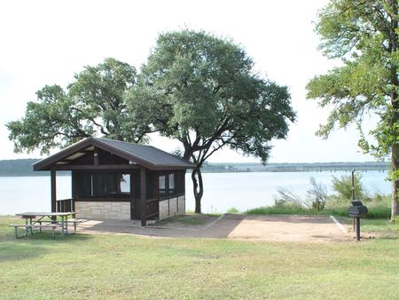
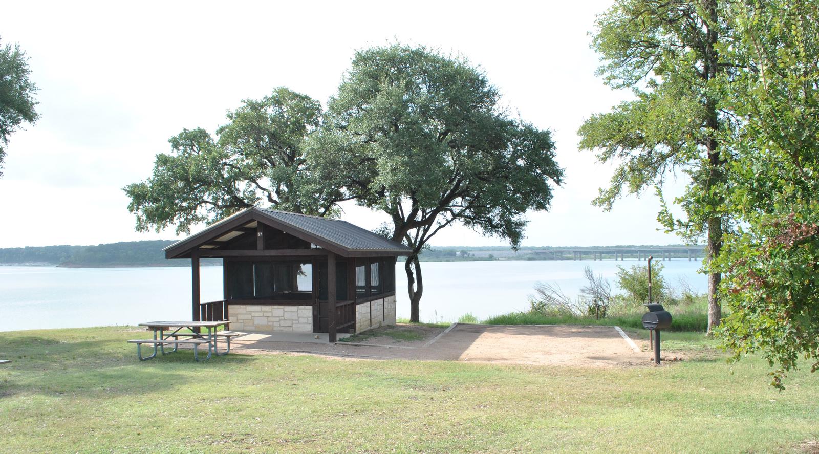
White Flint Park is located at Belton Lake, which provides some of the best fishing, camping and boating in Central Texas. This year-round campground has 12 sites with screened overnight shelters and 13 RV sites, all with water and electric hookups.
Belton Lake was created by the U.S. Army Corps of Engineers with the construction of Belton Dam in 1954. The 12,300-acre lake is located on the Leon River, just upstream of the confluence of the Leon River and the Little River.
Recreation
With 136 miles of shoreline, Belton Lake offers a wide variety of recreation activities, including camping, water sports, picnicking and nature trails. This facility has a boat ramp, providing easy access to the water for boaters and anglers.
Hawks, Great Blue herons, ducks, geese, many species of songbirds, bobwhite quail, Rio Grande turkeys and even an occasional bald eagle visit the lake area, yielding year-round opportunities for birders.
Facilities
Each campsite has a covered picnic table, grill and electric and water hookups. The facility also provides a multi-lane boat ramp, flush toilets, showers and a dump station. Gate attendants reside within the park for visitor service.
Natural Features
All of the campsites are along the shoreline of Belton Lake. The campground is partially forested, providing a mixture of sun and shade.
There is a man-made wetland on the lake between White Flint and Winkler Parks, providing an additional 25 acres of wildlife habitat in the lake area.
Nearby Attractions
Belton Lake is located adjacent to the Fort Hood Army Base, which has several points of interest for the military buff. The mural painted on the spillway wall of Belton Dam depicts the history of the Bell County area.