

Directions
You will likely need a vehicle suitable for driving on loose sand to drive into this campground.
From Reedsport Oregon, travel 11 miles south on Highway 101 to the Spinreel Road. Turn right on Spinreel Road and proceed 1/2 mile, the sand access will be on your left within Spinreel Campground.
Phone
541-271-6000
Activities
CAMPING, FISHING, WILDLIFE VIEWING, BERRY PICKING, BEACHCOMBING
Keywords
SPOD,TEN MILE,SAUNDERS,ODNRA,OREGON DUNES,Sand Dunes,Sand Camps,Spinreel ODNRA,SIUSLAW NF – FS,spinreal
Related Link(s)
Overview
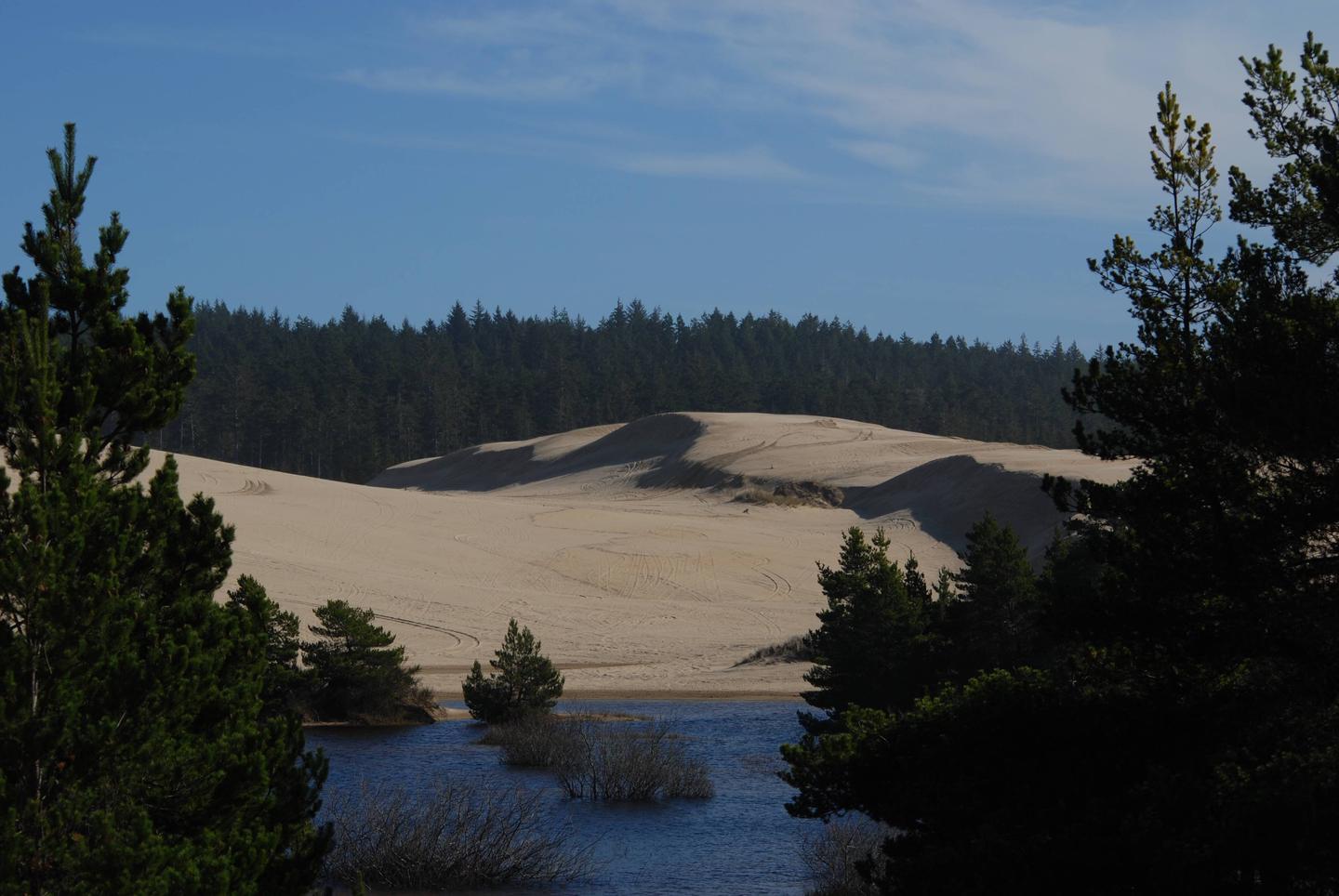
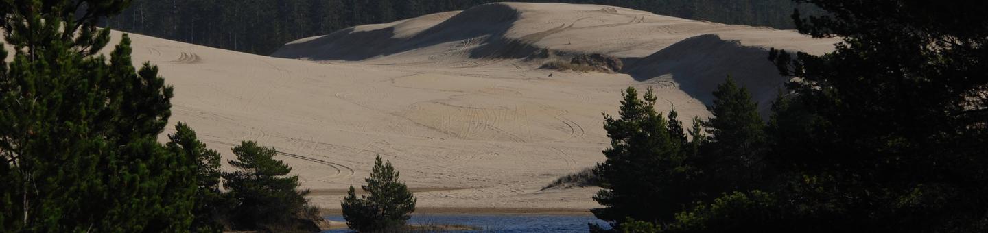
Spinreel sand camping is home to the largest riding area in the Oregon Dunes National Recreation Area. Sand camp sites at the camping area are located directly on the sand. Visitors here seek the thrill of scaling the vast open dunes, beachcombing and exploring designated sand routes surrounded by shore pine, Wax myrtle, Huckleberry and Salal.
Recreation
Spinreel ultimately attracts off-road vehicle enthusiasts. Thrill-seekers have a choice of riding on designated routes like the Coast Guard Trail and ATV Trail #430, or cruising in the open riding sections. Playing in the surf and beachcombing are also enjoyed activities along the Pacific. North of the Spinreel Staging Area is a beach section for horseback riders and hikers.
Facilities
Access to campsites is only by 4×4 vehicles via soft sand routes. Individual sites are identified by numbered posts. Each site accommodates up to five vehicles and 20 campers for tent camping. Camp only within designated sites and within 150 feet of the site marker. Sites are rustic and no toilets or campfire pits are available. Portable toilets and fire pans are highly recommended.
Natural Features
This dispersed camping area is on the sand in the heart of the Oregon Dunes National Recreation Area, known for its wind-sculpted sand dunes towering up to 500 feet above sea level. The dunes cover 31, 500 acres of land, surrounded by forests and the waves of the Pacific coast.
Nearby Attractions
Explore the waterways of the region, including Oregon’s lovely Pacific Ocean, Tahkenitch Lake and Siltcoos Lake.