Directions
From Ely, travel north on Highway 93 to the town of McGill. From McGill, go north 3 miles on Highway 93, to the Duck Creek Basin turnoff. Proceed east on Duck Creek Basin Road and turn left at the sign for Bird Creek Recreation Area.
Phone
775-289-3031
Activities
BIKING, CAMPING, FISHING, HIKING, HORSEBACK RIDING, HUNTING, WILDLIFE VIEWING
Keywords
BIRD,BIRD CREEK CAMPGROUND,BIRD CREEK,HUMBOLDT-TOIYABE NF-FS
Related Link(s)
Overview
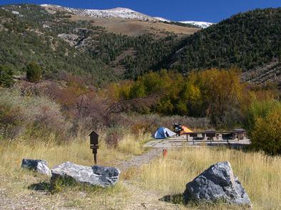
Bird Creek Recreation Area is located in the Duck Creek Basin, high on the Schell Creek Range. It sits at an elevation of 8,200 feet, approximately 25 miles from the small city of Ely. Hiking, mountain biking and off-road vehicle riding are popular activities enjoyed by visitors to the area.
Recreation
The Ranger Trail can be accessed from this campground. The Ranger Trail is a designated OHV trail that also accommodates hiking and mountain biking use as well. The 30-mile Success Loop Scenic Drive is also in the area, with views of high desert and mountain terrain.
Facilities
The campground has one day use group site, and two over-night group sites, three double sites, five singles sites and a muliti-family overnight camp site.
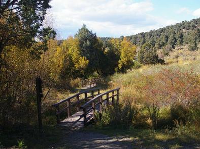
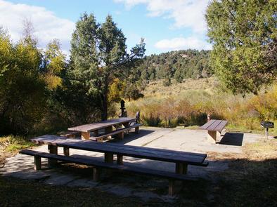
The campground has four day-use group picnicking sites: Sites C and F can accommodate up to 25 people each, Site G can hold up to 50 people, and Site H, up to 100 people. Some sites require a short walk from the parking area, on a bridge over Bird Creek. All sites have picnic and serving tables, a campfire circle, grill and a cement pad.
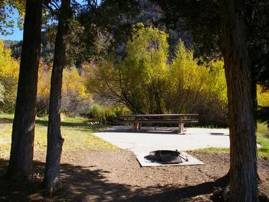
Four overnight campsites are available within the recreation area, for tent camping only. Those sites can accommodate up 12 people each and are equipped with a table, campfire ring, grill and cement pad.
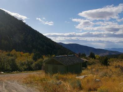
Vault toilets and drinking water are provided, but there is no trash collection. This is a “pack it in, pack it out” facility.
Natural Features
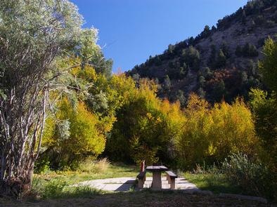
Bird Creek flows perennially through the campground. A mixed forest of juniper, pinyon pine and alder trees covers the area, but provides only limited shade.
Nearby Attractions
Ward Charcoal Ovens State Park is a few miles southeast of Ely. Interesting historic stone ovens and an interpretive trail are available there. The Northern Nevada Railway in Ely has a museum and offers train rides.
Charges & Cancellations
Bird Creek Camp site is close for the season due to renovations. Will open up in the 2020 Season.

