


Directions
Eight Mile Guard Station is located 11 miles southwest of Soda Springs. Head east on Main Street in Soda Springs. Turn right onto South 3rd Street E for 1 mile. Continue onto Bailey Creek 8 Mile Road for 3.5 miles. Turn left onto 8 Mile Road for half a mile. Continue onto Nounan Road for 1.5 miles. Turn right onto Road 425/8 Mile Canyon Road/8 Mile Creek Road. Eight Mile Guard Station will be on the right in about 3.7 miles.
Maps are available upon request at the district office.
Phone
208-847-0375
Activities
BIKING, CAMPING, FISHING, HIKING, HUNTING, WINTER SPORTS
Keywords
EGTM,CARIBOU-TARGHEE NF – FS
Related Link(s)
Overview
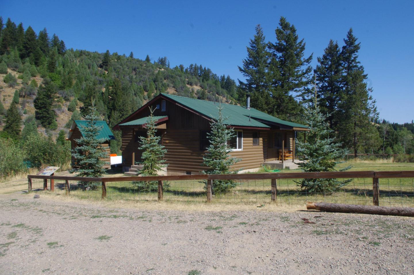
Eight Mile Guard Station is a short drive from Soda Springs, Idaho. It was established as early as 1908. Several buildings have appeared on this site, although most were replaced or relocated. The current cabin was built in 1962.
The guard station only accessible by snowmobile in winter, and guests are responsible for their own travel arrangements and safety. Many conveniences are provided, especially in the warmer months, but additional supplies and gear may be needed to ensure a comfortable stay.
Recreation
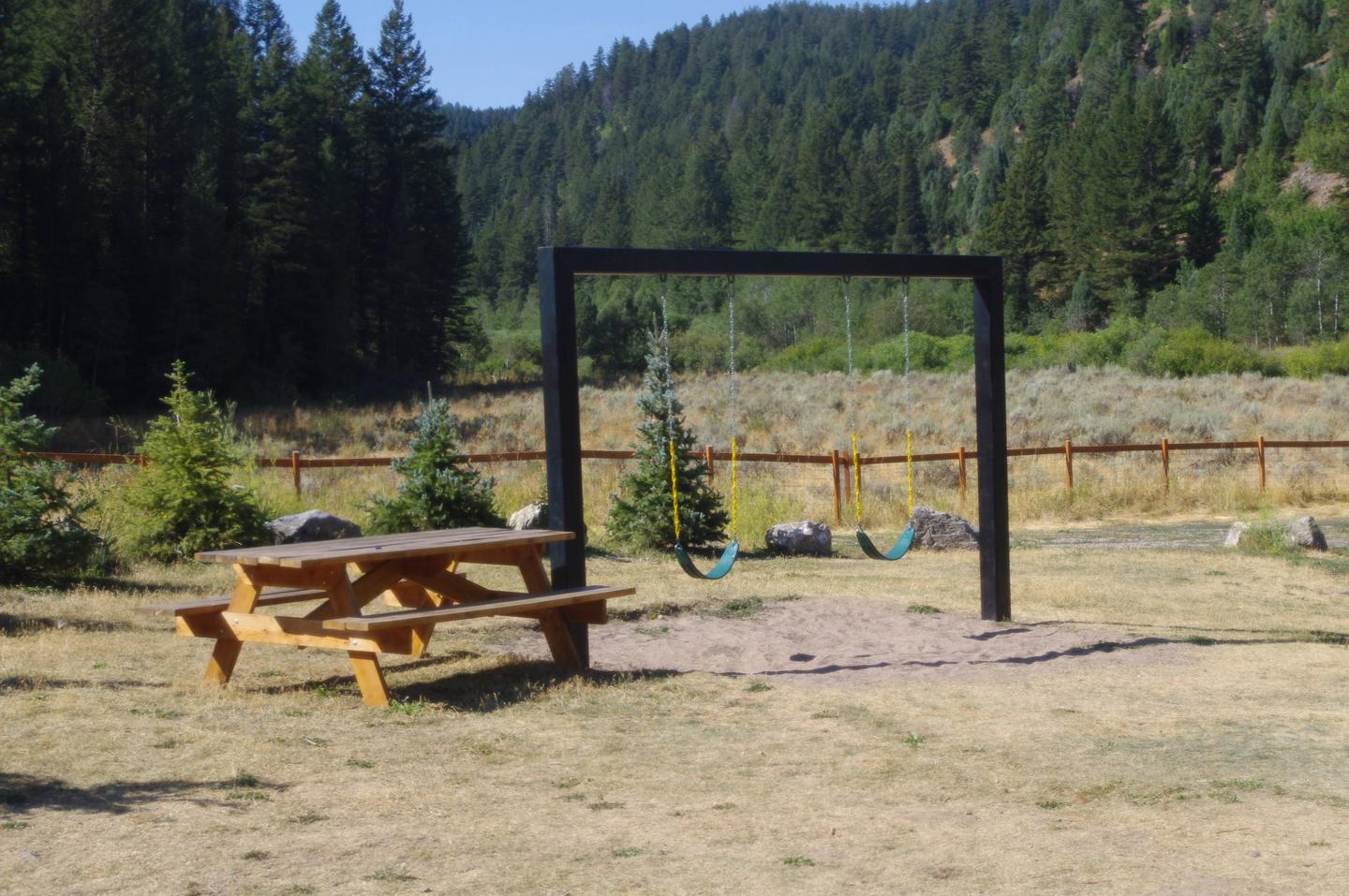
Hikers, mountain bikers and off-road vehicle enthusiasts can all find trails nearby (Idaho OHV safety message). The winter months attract snowmobilers and cross-country skiers.
Anglers can fish in Eightmile Creek. This is also a popular area for hunting game and game birds.
Facilities
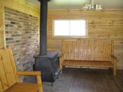
The guard station has a maximum capacity of 75 people. The cabin can sleep eight people on the four bunk beds provided; there are no mattresses. Renters will need to provide sleeping pads and bedding. The cabin contains an indoor bathroom with a seasonally available flush toilet and shower. A large kitchen is equipped with a dining area and propane range with oven. The living room has a propane heater. The cabin is equiped with a solar lighting system and propane lights are used for backup lighting. Propane is provided for the lights, range and heater.
An outhouse with vault toilet is just behind the cabin. There is also a campfire circle with benches. The large garage has been renovated to be used as an outdoor dining/entertainment facility.
Water is not guaranteed, and there is no electricity. Guests should come prepared with their own water supply. Bedding, cookware, kitchen utensils and emergency supplies are not provided.
Guests are expected to clean the cabin and pack out their trash upon departure. Garbage bags and cleaning supplies are not available.
Natural Features
The cabin sits in a meadow at an elevation of 6,000 feet, surrounded by stands of tall conifer trees. Eightmile Creek meanders nearby. The rugged limestone and dolomite peaks of the Bear River Range stretch out around the cabin.
Visitors enjoy viewing summer wildflowers and an abundance of wildlife. Large populations of deer, elk and moose inhabit this rugged backcountry. Pikas and marmots are sometimes seen, and beavers make their home around mountain streams.
Nearby Attractions
Soda Springs attracts visitors for its variety of parks and historical landmarks. Visitors can see covered wagon ruts left in the soil from pioneers traveling the Oregon Trail, as well as explore Formation Springs and Cave. There’s also a museum, a golf course and several places to shop and dine.