
Directions
Convict Lake Campground is about 34 miles north of Bishop, California on Highway 395. From Bishop, travel north on 395. The turnoff to the campground is across from Mammoth Yosemite Airport and is well-signed. From Mammoth Lakes, travel on Highway 395 south for 5 miles. Turn west off of Highway 395.
Phone
760-924-5771
Activities
BIKING, BOATING, CLIMBING, CAMPING, FISHING, HIKING, HORSEBACK RIDING, HUNTING, PICNICKING, WILDLIFE VIEWING, FISH HATCHERY, DAY USE AREA, SWIMMING SITE
Keywords
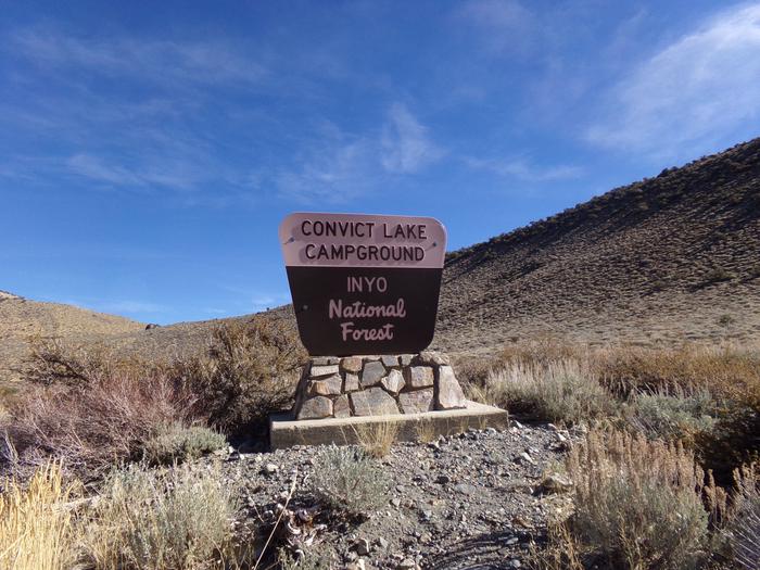
CONL,Convict Campground,INYO NF – FS
Related Link(s)
California State Road Conditions
Overview
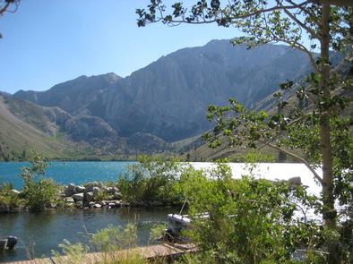
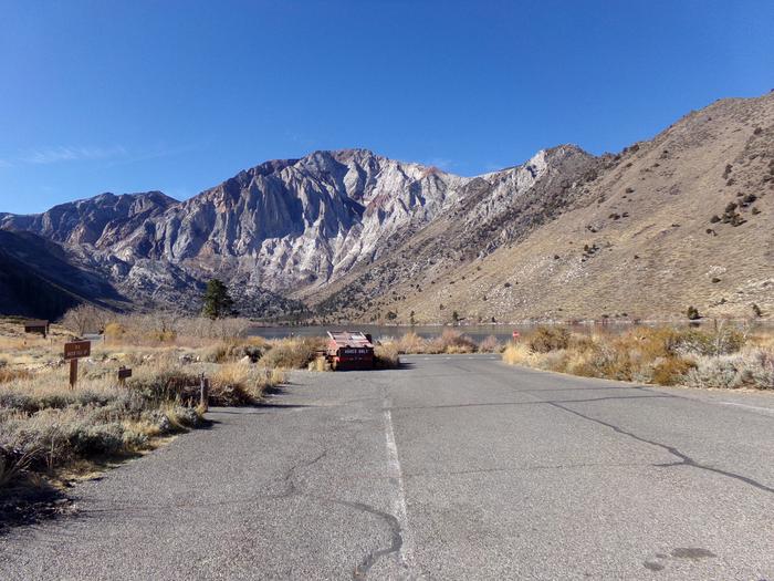
Convict Lake Campground is situated near Convict Lake amidst the beautiful scenery of the Sierra Nevada Mountains. The lake and surrounding national forest provide many opportunities for family fun, outdoor recreation and relaxation.
The campground and nearby resort offer many amenities for a convenient and enjoyable camping experience. The facility is located between Mammoth Lakes and Bishop, California, near Mammoth Airport.
Recreation
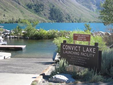
The eastern Sierra Nevada Mountains are known for exceptional trout fishing. Anglers can cast a line for rainbow and brown trout in the creek or lake. Power boats are limited to electric motors on the lake (six horsepower or less).
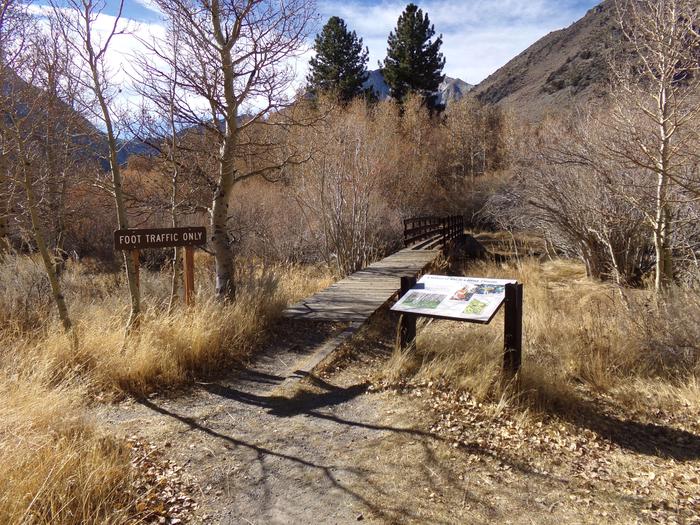
The area’s majestic scenery and variety of trails draw in hikers, mountain bikers and equestrian enthusiasts. The 3.5-mile Lake Trail can be accessed from the campground, and many other trails are in nearby John Muir Wilderness.
Facilities
This is a fairly large and well-organized facility with both reservable and first-come, first-served campsites. A few sites overlook the lake, while others are a short distance from the shore. Sites are spaced fairly close together.
Flush toilets, drinking water, hot showers and a dump station are provided, as well as food storage lockers for safety from bears.
Campers can purchase firewood on-site. A store, pack station, boat rentals, restaurant, showers and other amenities are just down the road at the Convict Lake Resort.
Natural Features
The campground sits at an elevation of 7,500 ft. and provides gorgeous views of the lake and the dramatic mountain scenery. Convict Creek runs through the campground, and the 167-acre Convict Lake is about 100 yards away. Shrubs and low vegetation fill in the landscape, though tall aspen and cottonwood trees grow along the creek.
The area is abundant with wildlife, including black bears, mountain lions, mule deer, pine marten, pika and many species of fish and birds.
Nearby Attractions
Visitors can explore the magnificent John Muir Wilderness, which stretches for 100 miles along the crest of the Sierra Nevada Mountains. It is a land of lofty snow-capped mountains, deep canyons and vast expanses of glacially-carved terrain, and offers extensive hiking, mountain biking and horseback riding trails.