Directions
There is no motorized access to this cabin. 1. Sourdough Canyon Trailhead: From Bozeman, MT. Drive south on S. 19th Ave. for 5.1 miles to Nash Rd. Turn left (east) onto Nash Rd. Drive 1.7 miles to Sourdough Canyon Road, turn right (south), and drive for 0.9 miles to the Sourdough Canyon Trailhead. From the Sourdough Canyon Trailhead travel south on Trail 454, at mile 5 just before the bridge you have two options: 1. Before the bridge turn left onto the Mystic Lake Trail 457. Follow this single track trail approximately 2.8 miles to Mystic Lake. Cross the outlet of the lake to find the cabin up the hill on the south end of the lake. 2. Cross the bridge and go left at the junction to stay on Trail 454. Travel this old roadbed for another 5 miles to the cabin. This is the recommended winter route. ROAD CLOSURE INFORMATION: (Please refer to the Motor Vehicle Use Map ) Sourdough Canyon/Bozeman Creek Trail 454 and Trail 457 are closed to all motorized use. In the winter, Trail 454 is a groomed cross-country ski trail and is closed to all bicycles and wheeled vehicles.
Phone
406-522-2520
Activities
BIKING, CAMPING, FISHING, HIKING, HORSEBACK RIDING, HUNTING, WINTER SPORTS, WILDLIFE VIEWING
Keywords
MYST,MYSTIC,LAKE,GALLATIN NF – FS
Related Link(s)
Overview
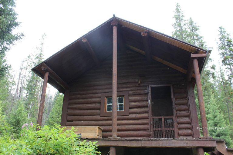
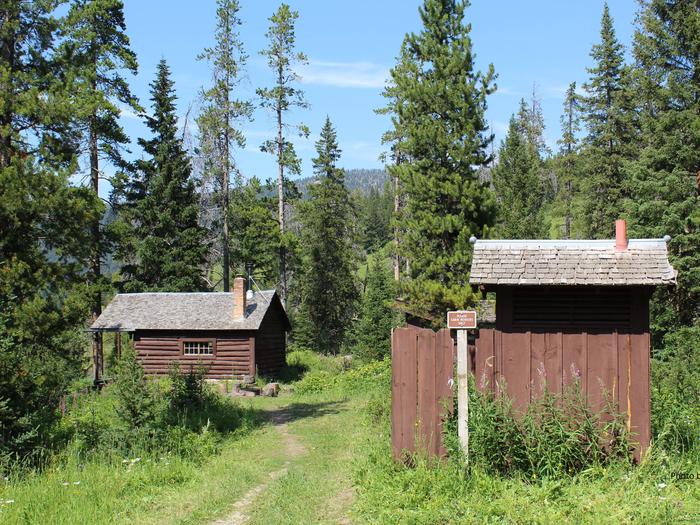
Mystic Lake Cabin was built in 1930 and is currently open year-round. It provides access to a variety of recreational activities, including fishing, hunting and exploration of numerous trails. The cabin is located in a non-motorized area. Guests must be prepared to hike, horseback ride or mountain bike to get there in the summer, and winter access is by cross-country skis or snowshoes. Guests are responsible for their own travel arrangements and safety, and must bring several of their own amenities.
Recreation
New World Gulch Trail and Bozeman Creek Trail are just a couple of the multi-use trails in the area for hikers, equestrians, mountain bikers, skiers and snowshoers. The Mystic Lake Loop is popular with mountain bikers. Anglers can fish for brook, rainbow and cutthroat trout in Mystic Lake. Hunting opportunities are good in the fall.
Facilities
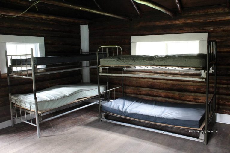
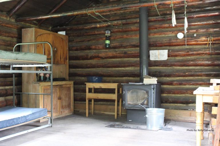
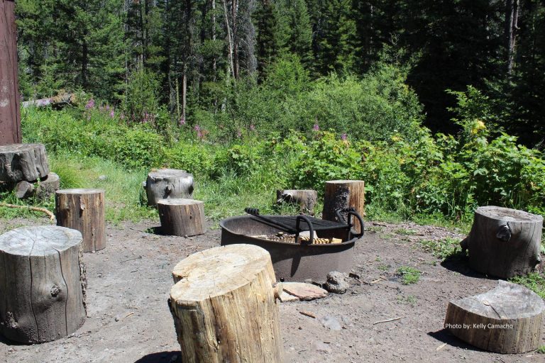
The cabin has bunk beds with mattresses to sleep up to four people. A wood-burning cook stove also heats the cabin. Other amenities include a table with chairs, basic cookware, dishes and tableware. Firewood is supplied for the stove. Outside is a campfire ring and a corral for up to two horses. An outhouse is equipped with a vault toilet. No electricity or water is available at the cabin. Guests need to bring their own supply of drinking water, as well as items such as fire starters (matches and newspaper), flashlights or lanterns, bedding, extra toilet paper, first aid supplies and dish soap, which are also not provided The cabin will need to be cleaned and all trash removed prior to leaving.
Natural Features
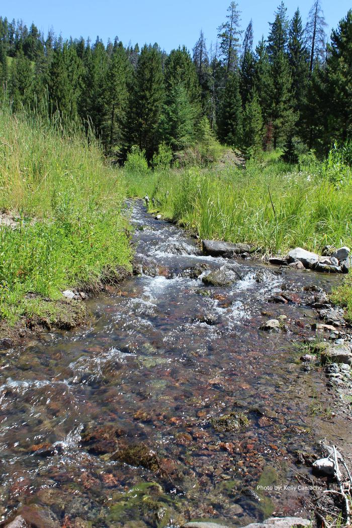
The cabin is tucked into a stand of pines near the southeastern shore of Mystic Lake, at an elevation of about 6,400 feet. The landscape surrounding Mystic Lake includes meadows that fill with wildflowers in the summer, as well as evergreen forest and the peaks of the Gallatin Range. Visitors may spot one of the resident black or grizzly bears, moose, elk or mule deer. Several bird species also inhabit the area.

