


Directions
From Missoula, Montana, travel west on I-90 for about 55 miles to Exit 47 for Superior. Turn left at the stop sign. At the next stop sign turn left and proceed under the interstate. Turn left onto Diamond Match Road, towards the Exxon Gas Station, and continue just over a mile, then turn right onto Forest Service Road 320. Drive for about 3 miles and then turn right onto Forest Service Road 7863 and travel just over 6 miles to the lookout. Maps are available online or for purchase by calling the Superior Ranger District at 406-822-4233.
Phone
406-822-4233
Activities
CAMPING, HIKING, WILDLIFE VIEWING
Keywords
TPLT,LOLO NF – FS
Related Link(s)
Overview
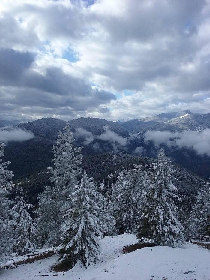
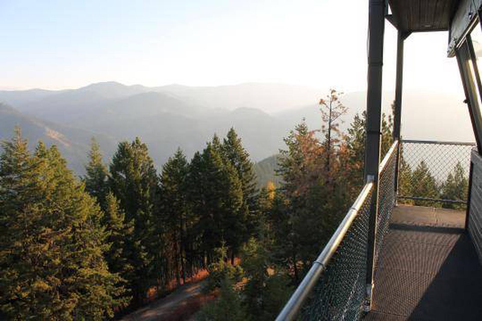
Thompson Peak Lookout provides great views of the Clark Fork Valley, the town of Superior, the Idaho state line and, of course, the big sky of Montana. It is close enough to Superior to allow for easy access, but remote enough to provide the quiet and solitude expected at a lookout. The modernized tower provides amenities not typical to a lookout, making it a desirable place to stay.
Recreation
A variety of trails exist in the area, allowing visitors a chance to explore the surrounding forest. Wildlife spotting is also a popular activity. Most of all, visitors come to the tower to relax and enjoy the scenery.
Facilities
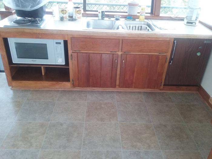
THE ONE-ROOM RENTAL CABIN IS EQUPPED WITH 1 TWIN-BED WITH A MATTRESS PAD AND SLEEPS UP TO FOUR PEOPLE. IT IS RECOMMENDED TO BRING COTS FOR ADDITIONAL SLEEPING OPTIONS. The facility has electricity and cell phone service, as well as an electric stove, heater, microwave and small refrigerator. Some basic eating and cooking utensils are supplied, as well as pots and pans, however drinking water is not available. An outhouse with a vault toilet is provided. Guests will need to bring water for drinking, cooking and cleaning purposes, as well as bedding, towels, soap, garbage bags and toilet paper. Guests will need to clean the cabin before leaving. Some basic cleaning equipment and supplies are provided. The facility can be accessed by vehicle on available dates between May 20 and October 10. It is closed to the public during the remainder of the year. Guests are responsible for their own travel arrangements and safety.
Natural Features
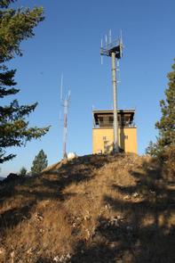
The lookout is located on the third floor of a multiple story building that is used as a radio and cellular tower. Equipment is located on other floors of the building. It is constructed out of concrete blocks with an enclosed stairway, making it more suitable for children.
The 2 million-acre Lolo National Forest includes four wilderness areas and a wide variety of trees, plants and wildlife. The area is home to mountain goats, bighorn sheep, elk, moose, deer and grizzly and black bears. Both the bald and golden eagle reside in the forest, along with trumpeter swan, herons and dozens of varieties of duck.